Subscribe
The information you submit will be stored and used to communicate with you about your interest in Geo Week. To understand more about how we use and store information, please refer to our privacy policy.


July Spotlight:
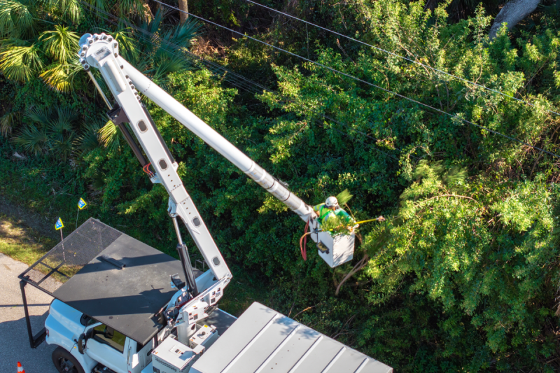
Energy & Utilities
Presented by:

Featured

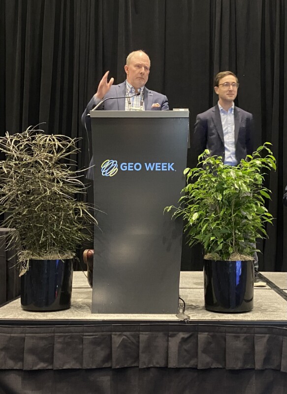
Industry leaders gathered in Denver to wrestle with AI, infrastructure, and a workforce in crisis. Here is what they found.


Trending
Latest News


Our Events
February 23-25, 2027
Salt Lake City, UT
September 1-3, 2026
Las Vegas
Login