One of the most powerful uses of geospatial technology is enabling better and more efficient transportation systems. Whether we’re talking about developing better highways, or more efficient train systems, or making pedestrian and bike lanes more accessible, Departments of Transportation around the United States are leveraging a myriad of cutting-edge technologies to modernize their infrastructure management, improve safety, and optimize long-term planning.
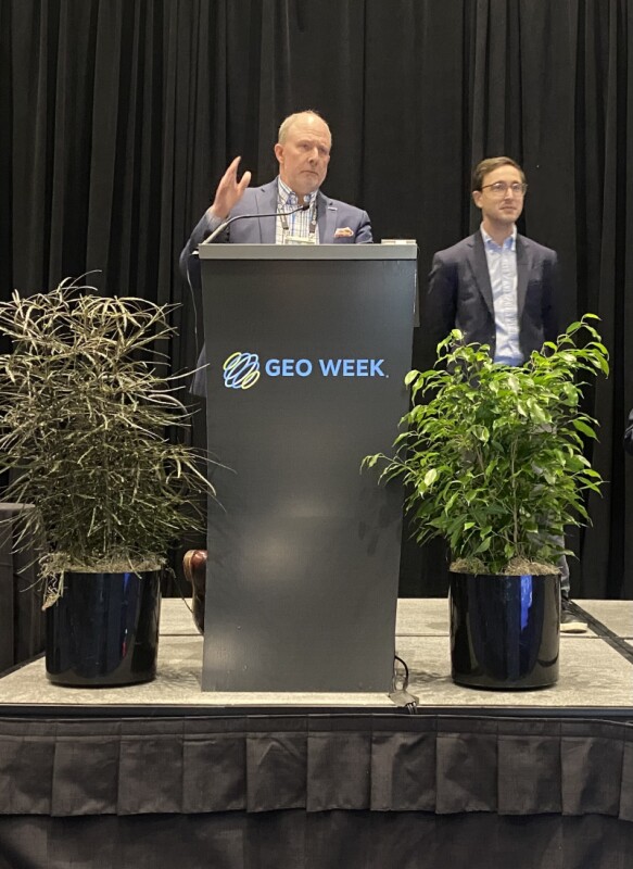
On the first day of Geo Week 2026, one session featured a trio of presentations highlighting some of the most interesting examples of this work. The session, entitled DOT Case Studies in Digital Delivery, showcased case studies highlighting how transportation departments are integrating mobile lidar, cloud-based collaboration tools, and data governance frameworks to enhance efficiency and accuracy from the field to the office.
The first presentation featured insights from Aaron Morris from Michael Baker International and Alex Baikovitz from Mach9, showing how the two organizations are collaborating to automate workflows in collecting asset inventories across vast and complex roadway networks. This is a critical process for maintaining safety, compliance, and long-term capital planning.
Their featured two parts, starting with Morris explaining some of the work behind a statewide project being completed by TXDOT, including why it is so important for them to maintain consistent and high-quality inventory of their assets. As he explained in his portion of the presentation, backups in the state’s major metropolitan areas can cost the economy upwards of $30 million per hour, a massive impact. To help with the work of maintaining this massive inventory, Baikovitz talked about how Mach9’s Digital Surveyor was used on the project. The software solution injects mobile lidar and leverages AI to automatically classify assets around the project, saving significant time, and thus massive amounts of money.
Following Morris and Baikovitz was Sinan Abood from the MassDOT Aeronautics Division. In his presentation, he highlighted the Massachusetts Department of Transportation Drone Program and how it has changed the way the department operates since its founding in 2017. With this strategic implementation of UAS technology into their workflows, sectors like emergency response, aeronautics, highways, and rail have seen greater efficiency and more powerful results than ever before.
One of the big themes that cut across Abood’s presentation was all of the different departments and stakeholders with whom his Aeronautics team works. It makes sense, as UAS-derived data can help nearly every type of infrastructure and transportation project, and at every level of the project. Whether it’s design, construction, or operation, that data can be used for different projects. To that end, he showed off MassDOT’s platform to easily share data across all of the different stakeholders, with that data being easily searchable by project type, location, or other types of search functionality.
Wrapping things up was a presentation from Oregon State University’s (OSU) Michael Olsen, who talked about a new national effort being led by OSU and being funded by the Transportation Research Board. This Surveying and Mapping Guide for Transportation Projects addresses a key painpoint in a lot of this work across the country: A lack of standardized practices across DOTs. This, in turn, leads to inefficiencies, miscommunication, and errors across the infrastructure lifecycle.
In his presentation, Olsen spoke a lot about the importance of standards, and talked through some of the most significant bottlenecks that are present when they aren’t utilized. He also, however, touched on how apprehensive many can be about standards. He said, “Standards are like toothbrushes. We all agree we need them, but no one wants to use somebody else’s.”
That being said, Olsen’s talk noted that this is the perfect time for national standards to be created, as the surveying community is on the precipice of a major shift with the modernization of the National Spatial Reference System (NSRS). With this in mind, the guide has many goals outlined in the presentation, including standard definitions of common terminologies, presenting an ROI methodology to measure the value of these standards, and supporting future lifecycle and business uses, among others.
The panel then ended with a short audience Q&A, that touched on a few different topics. Abood talked a bit more about both the parts of a project lifecycle in which his team’s UAS data is used as well as the role of analytics in this work. They also talked about the trouble with updating geographic standards when data is shared across stakeholders, and why starting with the most accurate data is the best way to ensure high-quality deliverables.