The surveying community is in the midst of a very exciting point in its history, with new and improved systems for collecting data being released at a dizzying speed. Today, surveyors have a bevy of options between traditional surveying equipment, handheld SLAM scanners, UAS-based systems, crewed aircraft systems, and more. As anyone in the industry knows, though, none of these options is a slam-dunk option for every single project. While the variety of options is great, the challenge is two-fold: First, determining which tool or tools are the best for the job, and then bringing together diverse data into a high-quality deliverable.
This topic was the focus of a Geo Week conference session from the last day of the event, entitled Exploring UAS, Helicopter, and Ground Survey Tradeoffs. The session featured a pair of presentations discussing real-world examples of how they have used different tools in the field and the lessons they’ve taken away from their experiences. The speakers touched on that challenge of bringing together multiple tools–but also the benefit of doing so–as well as a real-world example of diversifying a business model.
Francisco Gonzales, a sales engineer with Kuker-Ranken, gave the first presentation and focused largely on a case study from a project mapping the Yakima-Tieton irrigation canal in Washington. This was a complex project that included harsh terrains and some remote locations, requiring several tools from the firm’s toolbelt. The team utilized a total station and GNSS receivers for control, as well as UAV-based scanning systems to capture the ground and vegetation, and a terrestrial laser scanner to capture data from inside the canal.
Of course, collecting the data is only one small piece of the puzzle. The bringing together of the data is where the real challenge lies. Gonzales and his team had to register the data from the TLS and UAV-based system, merge the two scans together, align the flow line, surface model, and canal interior, and check for quality control before reporting. The process for merging and reporting all of these different data sets is vastly improved from even just a few years ago, however, thanks to advances on the software side. In the end, Gonzales left the audience with the notion that embracing these hybrid workflows will ultimately reduce field time by embracing the strengths of each tool with the right fit for an individual project.
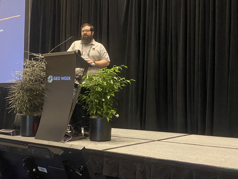
Following Gonzales for the second presentation of the day was Matt Clark, the co-founder and CTO of Whiteout Solutions. Alongside their software solutions business, the company also offers aerial data collection services, largely in the topobathymetric space. For most of their history, that was done via UAV-based systems, using heavy-lift drones to carry heavy scanning equipment for jobs around the country. That changed a few years ago, however, when they were offered a large-scale job from the state of Vermont that couldn’t feasibly be completed in a reasonable amount of time with a drone.
So, Clark and his team started using helicopter-based data capture, and that has now become a standard part of their business. In fact, it now makes up more of their service work than UAV-based projects. Still, both of the tools are always at their disposal as they have diversified their offerings to be able to win and complete more types of projects. In his presentation, Clark talked through some of the pros and cons of each option, including differences in insurance costs and coverage, the repeatability of drone-based work, and the scalability of work done with a helicopter. The closing message from Clark was similar to that of Gonzales: Neither solution is definitively better than the other, and if you’re able to have both of these tools in your toolbelt, your business will ultimately be better for it.