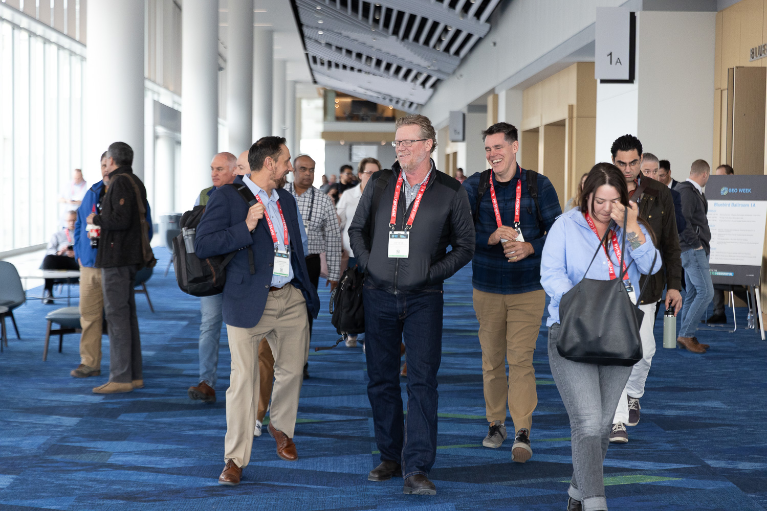
After seven months writing for Geo Week News and getting up to speed on everything from lidar to digital twins, experiencing Geo Week in person for the first time was a real payoff. The depth of legacy knowledge on display and the sheer scale of the exhibit floor set the tone for an impressive next 3 days. Below are a few key themes I took away from my first Geo Week that might resonate with you too.
1. The Intersection of Conservation and Technology
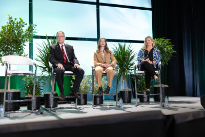
I'll be honest, I didn't expect to get emotional. Dr. Lilian Pintea’s opening keynote set the tone for the entire conference by demonstrating what geospatial technology looks like when it's rooted in compassion.
For more than 25 years, Dr. Pintea, Vice President of Conservation Science at the Jane Goodall Institute, has applied satellite imagery, lidar, drone mapping, and AI-driven data to protect chimpanzees and their habitats, as well as the communities that live alongside them across Africa. The story he told wasn't just about data, it was about what happens when you bring maps into a village and let the people who live there see themselves in it for the first time. One community member, upon seeing high-resolution imagery of their home, said something that's stuck with me: "Thank you for bringing these maps to the village. I can see this village is on the map and I know that the world cares."
The throughline of his talk was a philosophy that Dr. Goodall herself articulated: that "clever brains must work in harmony with compassionate hearts."
It was a powerful reminder that the tools we cover at Geo Week News are never just tools. They are instruments of human potential, and the sessions that followed only reinforced that idea.
2. The Future of the Workforce
The second day of Geo Week made one thing abundantly clear: the geospatial industry has a people problem, and the clock is ticking. The day's recurring theme was workforce development, and it wasn't abstract. There were real students, real researchers, and real frustrations in the room.
In a panel discussion, Dr. Shawana Johnson shared research showing that demand for geospatial talent in North America is growing nearly five times faster than the number of qualified graduates entering the field. That gap has been widening for years, panelists said, and it won't close without the industry doing something fundamentally different.
What struck me most were the voices of the students themselves. The GEO Empower Scholarship recipients this year offered a glimpse into what the next generation of geospatial professionals can look like when they're given real resources and real opportunities. Barira Rashid, a PhD student at the University of Arkansas, uses AI and remote sensing to study how livestock operations affect water quality, and hosts a podcast about phosphorus sustainability on the side. Paulina Alejandra Vergara Buitrago, from the University of Minnesota, works with potato farmers in the Colombian mountains, using GIS to map land cover changes in genuine partnership with local communities.
Both of them independently offered the same advice to their peers: don't chase volume; chase meaning. Make real connections. Show your work's impact on people, not just on datasets. That felt like advice that extended well beyond students.
3. Honesty Over Everything
Something I noticed quickly on the conference floor is that the people in this industry are remarkably willing to talk about what doesn't work. That's not something you see everywhere.
The session that illustrated this best was "The Ugly Truths About Bathymetric Lidar", a panel where four industry veterans sat down specifically to discuss failure modes, processing pitfalls, and the gap between client expectations and reality. Nobody was there to sell anything. They were there to be useful. As one panelist put it plainly, "the ugly truth is that it doesn't always work right." The room appreciated it.
I think there's something about a field that is technically demanding and constantly evolving that breeds this kind of culture. When the margin for error is high and the problems are genuinely hard, pretending otherwise doesn't serve anyone. The most valuable thing an expert can offer isn't a polished success story, it's the hard-won knowledge of what doesn't work, and why. I left that session knowing more about bathymetric lidar than I ever expected to, not because of what the panelists got right, but because of what they were willing to admit they'd gotten wrong.
4. The Stakes Are Higher Than They Look
Before Geo Week, I understood geospatial technology as something practical and useful for infrastructure, navigation, and construction. Accurate and important, but fairly straightforward in terms of what it's for. What I didn't fully appreciate is how often this work intersects with things that are irreplaceable.
A session on “documenting historically significant sites with modern technology” drove this home. Practitioners from across the industry shared projects where geospatial tools were being used to capture sites that could be lost to time, weather, or neglect. Places where, if the documentation doesn't happen, the record simply doesn't exist. That same idea ran through Dr. Pintea's keynote, where decades of satellite imagery revealed not just environmental change, but the human cost of it: communities at risk of landslides, forests that had disappeared within a generation, stories that would have gone untold without someone recording.
The lesson I kept returning to is that behind most of the technical work in this field, there is something that matters deeply to someone. A community's safety. A culture's memory. A species' survival. Geospatial professionals don't always talk about their work that way. The day-to-day is datasets and workflows, but the stakes underneath it are real which is why they care about getting it right.
5. There's Still a Lot to Learn, and That's the Point
Seven months into this role, I walked into Geo Week knowing considerably more than I did on my first day. The months of research and YouTube videos served me well, and I thought I was in a good spot.
And then I spent three days on that floor and was reminded, in the best possible way, that I'm still very much a beginner. The sessions I attended covered bathymetric lidar processing challenges I hadn't heard of, the newest AI-powered platforms, and various terms I had to google. The exhibitors I spoke with were generous with their knowledge, patient with my questions, and clearly passionate about what they do.
There's something energizing about being in a room full of people who have spent entire careers going deep on a subject you're just beginning to understand. It doesn't feel intimidating so much as it feels like an invitation. The geospatial industry, I'm learning, is one of those fields where the more you know, the more you realize how much there is to know. I left Denver with more questions than I arrived with. And I think that's exactly right.