
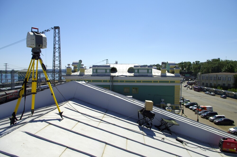
Lidar has continued to surge in popularity relative to the high degree of accuracy and resolution in its 3D mapping capabilities (as evidenced by scholarly research), similar to how BIM is well known to provide great versatility in interactive 3D modeling of built environments, making it the collaborative tool of choice for architects, engineers, and building contractors.
To illustrate lidar’s surging popularity, consider first a 2015 market research report that predicted the global lidar market size to reach $9444.3 million by 2023, and growing then at an impressive compound annual growth rate (CAGR) of 17.3%. Now entering 2024, consider a newer report, which has projected the market to surge to $3.7 billion by 2028, representing a CAGR of 19.4% — or yet another that forecasts the market to reach $8.4 billion by 2033.
Will, then, lidar use cases continue to manifest and grow in popularity as we enter a new year? If the above trends tell us anything, it’s that lidar is a technology on the rise. In this article, I cover some of the recent headlines highlighting lidar that suggest it will continue to evolve over the next decade and make a couple predictions myself about the technology.
How has lidar been used in the geospatial industry?
The geospatial industry has seen a wellspring of unique applications for lidar along with attention from both big tech companies and venture capitalists to suggest that the future is bright for lidar technology development.
For example, startup Luminar announced a recent acquisition of Civil Maps to accelerate its lidar production process, as well as new lidar sensor technology, an AI engine for object detection in 3D powered by lidar sensors, and several other developments to help them ramp up their commitment to the advancement of the automotive industry (and we’ll discuss how the auto industry applies to lidar development a little later). Furthermore, the likes of Microsoft recently announced a new software analytics platform they’ve dubbed Microsoft Fabric, which they’ve recently added Ersi Mapping to, including 140 spatial analytics tools, functions, and other datasets to help geospatial professionals produce interactive visualizations and maps. Meanwhile, the Overture Maps Foundation added nearly one billion buildings to Google Open Buildings data, bringing the number of buildings in OMF’s data set up to 2.3 billion, Geo Week News reported.
The sheer breadth of lidar activity and applications across professional settings should help illustrate how the technology is expanding, not retracting from the professional consciousness:
- Geology – Lidar technology has been used to survey Paradise Valley and the northern gateway corridor to Yellowstone National Park, which has helped geologists uncover geological hazards near the entrance of the park. As the United States Geological Survey (USGS) notes, “geological surface mapping has traditionally used aerial photos and direct observations through fieldwork, but the land surface is often obscured by vegetation.” Leveraging lidar, geologists and earth scientists have been able to “virtually ‘remove’ vegetation and reveal the bare earth ground surface—including, for example, active faults on the fringes of Yellowstone National Park.” In addition to Yellowstone, the USGS in collaboration with GIS firm Dewberry has leveraged lidar to release a precision lidar map of the Potomac River.
- Forestry – As Geo Week News content specialist Matt Collins recently highlighted, lidar has proven useful in the forestry industry, to, for example, detect bear activity; determine the carbon biomass of a forest; develop full-fledged academic forestry labs; and so forth. The technology has shown promise in providing scalable forest inventorying whereby scientists have leveraged flying lasers to, for example, build a 3D map of a massive Alaskan forest.
- Academia – Archeologists have used lidar to uncover six ancient civilizations that were hiding in plain sight as well as to map wealth and status in Ancient Mayan civilization. Physicists, meanwhile have released breakthroughs with “coherent two-photon LIDAR” to overcome range limitations “imposed by coherence time, to achieve accurate and precise ranging of a remote object situated far beyond the coherence time dictated by the spectral bandwidth of the light source.”

- Space Exploration – On the leading edge of taking giant leaps for mankind, it should be no surprise that NASA has used lidar to improve space exploration, particularly harnessing its capabilities in remote sensing and surveying, mapping, 3D-image scanning, hazard detection and avoidance, and navigation.
- Civil Engineering and Public Works – Just as sewer and drain cleaning technicians can leverage advanced pipeline inspection machines to perform inspections and diagnose problems with greater accuracy, lidar has its place in sewer risk detection – for example, helping a UK-based watering and recycling company generate real-time pictures of sewer risk and “identify specific hotspots to prioritize where work is most urgently needed.”
- Watercraft – lidar has even found its sea legs, one tech firm in Singapore using the technology to help detect the presence of a horror most boaters would fear, approaching pirates.
Has lidar broken into the mainstream consciousness?
Outside of professional use cases, has lidar development, relative to the recent massive investment in the technology, bled into mainstream consciousness, and how? Absolutely!
One household name many of us carry in our pockets, Apple’s iPhone, has incorporated lidar. That is, recent iPhone Pro versions (and iPad Pro devices) have used the technology in features that improve low-light photography. Pairing this feature with augmented reality, these devices have helped users “combine the real world and the virtual world [… ] your phone or tablet [… able to] act as a virtual tape measure, show you how new furniture would look in your home, scan and recreate 3D models, and place you into AR games.”
Another mainstream application is for accessibility — and an additional household name, Microsoft, has been at the center of it, developing a “Seeing AI app” to help blind and low vision people become more empowered; e.g., a haptic proximity sensor enables users to point the lidar scanner and feel the distance to things around them, and lidar support enables the app to scan rooms and utilize spatial audio.
But perhaps the biggest stories related to how lidar is used in mainstream applications is how it is used by automotive companies to help with driver assist and the production of safer autonomous vehicles, with “Most groups developing autonomous vehicles see[ing] lidar as a critical part of the sensor suite required for safe operation, because it allows a detailed 3D map of the vehicle’s environment to be constructed with much more fidelity than can be done with cameras.”
Motor Trend sees lidar as playing a pivotal role in the developing “cars that navigate without humans,” while the market is expected to grow by a CAGR of 39.10% and reach $4918.59 Billion by 2029. Hesai, who “dominates” the automotive lidar market, has recently released a new, high-performance lidar solutions at CES, while Bloomberg has reported concerns about competition from Chinese automakers.
Outside of the automotive industry, lidar has also been seen used by Vancouver airport to improve “passenger happiness,” leveraging 3D lidar sensor and advanced perception software to enable the airport to “identify, classify, and track people and objects for enhanced operational insights.”

Furthermore, if the wide variety of mainstream headlines surrounding lidar don’t suggest that the technology is breaking into the mainstream, then the fact that scholars at the University of Washington have been developing smaller and cheaper forms of lidar technology may signal how the technology may soon be more economical to develop and more accessible for the mainstream.
Where will lidar go in 2024?
Certainly, lidar development will continue to grow in the automotive industry in vehicle assist and autonomous vehicle development. In addition, lidar is likely to continue in other industries — e.g.,
Forestry
Multiple studies and even a recent book suggest that the forestry industry will continue to stand to gain from the application of lidar technology.
Agriculture Industry
Multiple recent studies have shown promising applications of lidar technology in the agriculture industry (e.g., “precision agriculture for cultivating crops,” “future research direction for applications” in agriculture, 3D crop analysis, “instrument orientation on lidar data from crop plots,” etc.).
Construction Industry
Lidar also shows promise in the construction industry. For example, for geospatial professionals in construction, lidar use cases include surveying, structural analysis to detect building damage, and in conjunction with BIM, to name a few).
Final Word
As I’ve established, lidar has risen in popularity relative to its high degree of accuracy and impressive resolution. The technology represents a wellspring of possible applications across many industries that could stand to gain from these characteristics. I expect continued lidar development in 2024 and for many years to come.


