Report
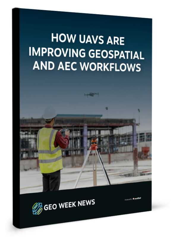
How UAVS Are Improving Geospatial and AEC Workflows

The surveying industry was one of the earliest adopters of UAV technology. Drones give professionals the ability to safely reach locations that could be dangerous for humans and collect data from different perspectives. Moreover, recent innovations within the broader UAV space have significantly altered the way surveying and other workflows for the built world are completed.
This report will look at five recent developments within the UAV space that have profoundly affected the geospatial and AEC industries. These developments include uncrewed bathymetry, flying beyond visual line of sight (BVLOS), UAVs on the job site, remote operations and autonomy, and combining data collected with UAVs with other methodologies.
Download How UAVS Are Improving Geospatial and AEC Workflows to see real-world examples of how UAVs have impacted these industries today!

