
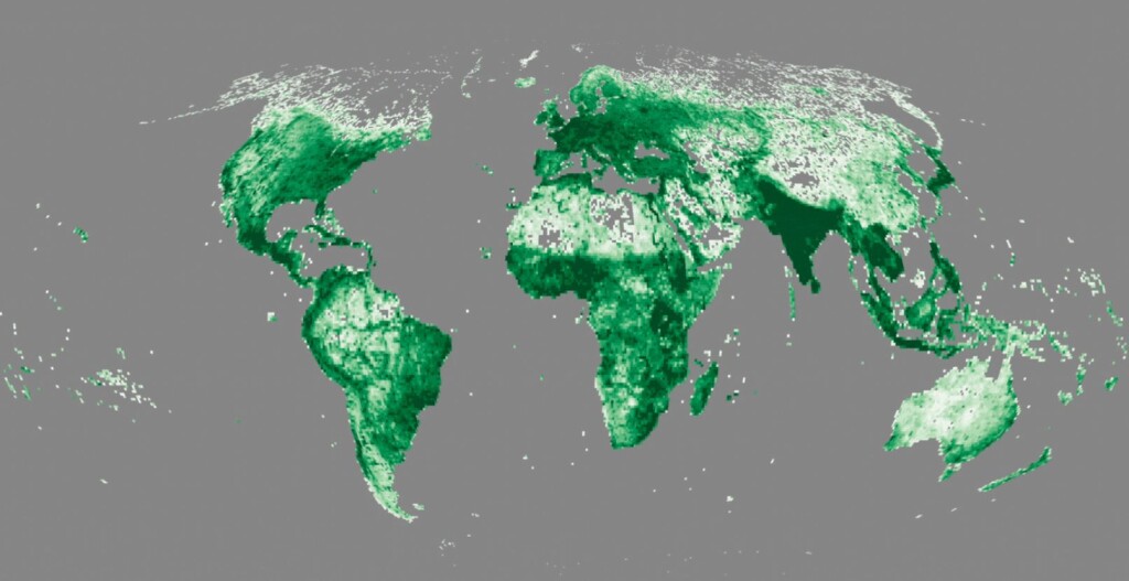
Last month, the Overture Maps Foundation announced their latest release of open map data, which can be found here. There are a few different areas affected by this latest release, but the biggest headline is with the Building theme within the data. Specifically, OMF announced the addition of the Google Open Buildings data set, which increases the total building footprint of the overall OMF data set from 1.4 billion to 2.3 billion. This data joins the foundation’s existing building footprints that came from OpenStreetMap, Esri Community Maps, and Microsoft Open Building Footprints.
As OMF mentions in a blog post they wrote announcing the addition of this data, the Google Open Buildings data set most significantly adds data that was previously missing in India, Latin America, Africa, South Asia, and South East Asia. They also note, “data also includes confidence scores that allow developers to balance the trade-offs between coverage and accuracy to meet their applications requirements.” Finally, with this latest release each building is associated with a GERS ID, or Global Entity Reference System ID, which they say “vastly [expands] our capability to link many kinds of data associated with buildings to the base layer using GERS.”
Overture Maps Foundation was formed just over a year ago in December of 2022 by four founding members – Amazon Web Services, Meta, Microsoft, and TomTom – with the help of the Linux Foundation. They’ve moved relatively quickly since then, releasing a preliminary data set in April of last year before releasing their first open map data set in July.
The addition of this open data from Google is interesting on a couple of fronts. First and foremost is the sheer scale of data being added – close to one billion building footprints – in areas that had not previously been well-covered. Over email, Geo Week News spoke with OMF Executive Director Marc Prioleau and asked what it was about this data that was able to make it such a significant addition.
He replied, “Google built their open buildings data using satellite imagery combined with their computer vision and AI techniques to create a huge number of building footprints. That technique has the advantage of giving high coverage and high access (since you work off of satellite imagery and don’t require effort from a surveyor. The quality of the satellite imagery (resolution, positional accuracy and recency) and the quality of the AI algorithms all affect the quality of the outputs.”
The other interesting piece of this is the ecosystem in which OMF exists and is trying to change. Right now, map data is dominated by Google and Apple, and while the foundation has never specifically called out either company they have noted the benefits of the open data model. In a previous conversation, for example, Prioleau told Geo Week News, “If that framework is open data, it becomes a shared resource, and now you really can open up the industry.”
That attitude would seem to put Google in an oppositional place, which makes seeing the two organizations in one headline a bit jarring. Of course, this is open data so OMF was able to freely use it – this data is included in Google Maps as well, along with other proprietary data – but they did tell Geo Week News that they notified Google ahead of time with the latter showing no opposition.
“As a courtesy, we did let the Google team know that we were using the data and received an enthusiastic response.”
Prioleau expanded upon this and OMF’s broad mission by saying, “Overture’s mission is predicated on some assumptions about the mapping industry, where it is going and how, as a whole, we can expand the use and application of high quality map data. Simply stated, we see a commoditization of map data in the base layers and an explosion of higher value, richer map data that are enabling more advanced map applications. In that scenario, developing high quality, shared base layers that everyone can use, and the ability to connect higher levels of data to those baselayers, streamlines the industry and makes development easier. The current scenario, where that higher level data has to be attached to a half-dozen different base layers is not sustainable.”


