
There is a question that is often nearly impossible to answer with full confidence when a shovel breaks ground on a construction project: What exactly is down there?
Beneath nearly every jobsite lies a complex web of previous work, utilities, pipelines, and geology. Hitting an unmarked gas line, severing a fiber optic cable, or encountering an unexpected soil condition can halt a project for days, cost millions of dollars, or — in the worst cases — be fatal. According to the Common Ground Alliance, a utility strike occurs in the United States roughly every 61 seconds.
The tools used to find and map beneath the ground have improved meaningfully over the decades. However, significant gaps remain, and the construction, infrastructure, and geospatial industries continue to grapple with how to close them.
The Current Toolkit is Powerful but Incomplete
The most widely deployed subsurface detection technologies today include ground-penetrating radar (GPR), electromagnetic induction (EMI), vacuum excavation, and utility locating services triggered by 811 “call before you dig” systems. Each has real strengths, but also limitations.
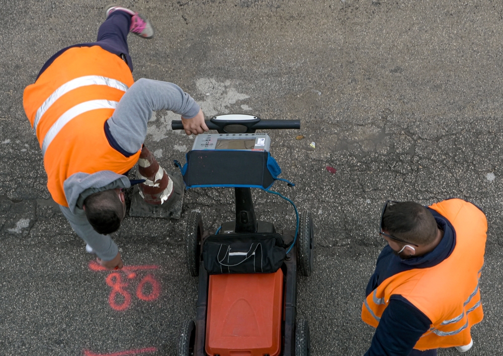
Ground-Penetrating Radar (GPR) transmits radar pulses into the ground and measures the reflections that bounce back from buried objects and layer interfaces. It can detect both metallic and non-metallic utilities, produce relatively detailed cross-sectional images, and work without disturbing the surface. However, GPR performance degrades sharply in wet or clay-heavy soils, which absorb radar energy. Signal interpretation requires trained technicians, and results can be ambiguous. For example, a reflection might be a pipe or a change in soil composition. Depth penetration is also limited, typically ranging from a few inches to a few meters depending on soil conditions.
Electromagnetic Induction (EMI) works by inducing a current in a buried metallic conductor and detecting the resulting electromagnetic field at the surface. It’s fast, effective for tracing metallic pipes and cables, and widely used. Its core limitation: it simply cannot detect non-metallic infrastructure, which makes up a growing share of buried utilities as older metal systems are replaced.
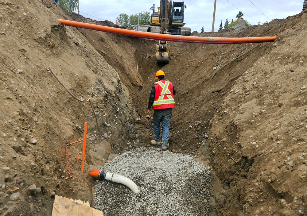
Vacuum excavation (water or air vacuum) is the gold standard for confirmation. It uses high-pressure water or compressed air to break up soil, then vacuums the debris to expose buried utilities without the risk of a mechanical strike. The problem is that it can be slow, expensive, and localized. It confirms what’s there in a very specific spot, but it can’t efficiently map utilities across a corridor or a large site.
Utility records and 811 systems are the informational backbone of the industry. Before digging, contractors in the U.S. are required to call 811, which alerts utilities to mark their infrastructure, but the accuracy of those markings depends on the quality of the utility’s own records. Often, those records are incomplete, outdated, or simply wrong. Infrastructure installed decades ago, before digital record-keeping, may be missing from databases. Private utilities on private property often go unrecorded entirely.
The industry term “designating” refers to using instruments like GPR or EMI to locate utilities beyond what records show. Even with designating, the result is typically a best-effort estimate with an acknowledged margin of error.
The Documentation Gap Hasn’t Been Solved
One of the most persistent problems in subsurface mapping is not technological; it’s organizational. The as-built records that document what was actually installed underground are frequently inaccurate, missing, or exist only on paper in filing cabinets belonging to municipalities, utilities, and private owners.
When infrastructure is repaired or replaced, the new configuration often isn’t updated in official records. This is because municipalities and utilities have either merged, been acquired, or simply changed IT systems over the decades; records get lost. In rapidly developing urban areas, the layers of buried infrastructure can be extraordinarily complex, with utilities from dozens of different owners running in the same right-of-way.
The result is that even the best detection technology is operating against an incomplete informational baseline. Surveyors and locators are not just looking for what’s there; they’re also trying to reconcile what they find with records that may or may not reflect reality.
What’s Changing Today
The limitations described above are well known, and a growing set of technologies and approaches are beginning to address them. Several of these technologies have been in development for years, but what’s changed is that field deployments are becoming more common, costs are dropping, and integration with existing workflows is improving.
Multi-sensor data fusion has moved from concept to early deployment, and it remains one of the most promising directions for near-term improvement. Rather than relying on a single detection method, integrated systems combine GPR, EMI, seismic, and other sensor data to improve detection accuracy and reduce false positives. The logic is straightforward: each method has its blind spots, but the combination covers more ground. Several companies are developing sensor arrays that can be deployed on vehicles or robotic platforms, scanning broad corridors more efficiently than a technician walking with a single instrument.
Machine learning and AI-assisted interpretation are beginning to address one of GPR’s historic weaknesses: the difficulty of reading data. Traditional GPR output of hyperbolic reflections on a B-scan image requires expertise to interpret and is prone to inconsistency between operators. AI systems trained on large datasets of GPR scans are improving the speed and consistency of interpretation, flagging probable utility locations, filtering noise, and in some cases providing confidence scores that help operators prioritize ground-truth investigation.
Lidar and photogrammetry are being used increasingly for surface mapping during construction, capturing precise 3D models of excavated areas as they progress. While these technologies don’t see underground, they create detailed records of what is exposed during construction, which is a significant improvement over the historical practice of relying on hand-drawn sketches or verbal notes as utilities are uncovered. Integrating these records back into utility databases could, over time, meaningfully improve the quality of as-built documentation.
Mobile mapping and crowdsourced data represent a longer-term opportunity. Platforms that aggregate field observations could gradually build richer records of what practitioners encounter below grade. The challenge is data standardization, ownership, and the incentive structures required to make sharing happen at scale.
Digital twins and integrated GIS platforms have been discussed for years, but the technology is now moving into practical adoption as a connection point between field data and utility records. Rather than maintaining separate maps for all different utility infrastructure, integrated platforms can layer all available data into a single geospatial model. When that model is kept current, it becomes a more reliable reference for pre-construction planning. When it’s connected to real-time field data, it becomes a tool for actively managing risk during construction.
The Regulatory and Liability Landscape
Technology adoption in subsurface mapping is also shaped by a fragmented regulatory environment. Requirements for utility locating vary significantly by state and municipality, and enforcement of 811 compliance is inconsistent. Liability for a utility strike is often disputed between the contractor, the locating company, and the utility.
Some states are beginning to require more rigorous quality levels of utility location, like a framework developed by professional engineering organizations that grades the confidence level of utility data from simple record review to physical exposure and measurement. Broader adoption of this framework, and regulatory requirements tied to it, would likely accelerate investment in better detection and documentation practices.
The Stakes
The costs of getting subsurface mapping wrong are substantial. Direct costs include project delays, emergency repairs, fines, and litigation. Indirect costs like schedule compression, insurance impacts, and reputational damage can be harder to quantify but are equally real. In the case of gas or high-voltage electric strikes, the human cost can be severe.
At the same time, the volume of underground construction is growing. Data center buildouts, grid modernization, broadband expansion, water infrastructure replacement, and urban transit projects are all driving significant subsurface work over the coming decade. The pressure on the industry to improve how it sees, maps, and manages what lies underground has never been higher.
The tools are getting better. The data is getting richer. The question is whether the industry’s practices, incentive structures, and regulatory frameworks will keep pace.


