Geographic information systems and the positioning technology behind them, covering GNSS, data management, and the spatial tools that locate everything precisely.
Essential Reading

Don’t Be Scared of NSRS Modernization, Be Prepared
NGS and geospatial industry leaders outline what NSRS modernization means for surveyors, GIS professionals, engineers, and utility practitioners.

5 Standout GIS Projects Shaping Denver’s Future
A look at the GIS-driven projects redefining urban planning, infrastructure, and environmental stewardship in Denver

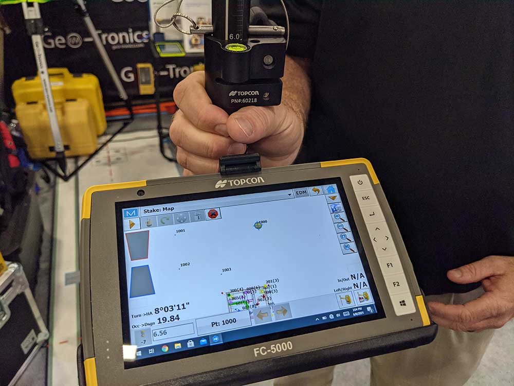
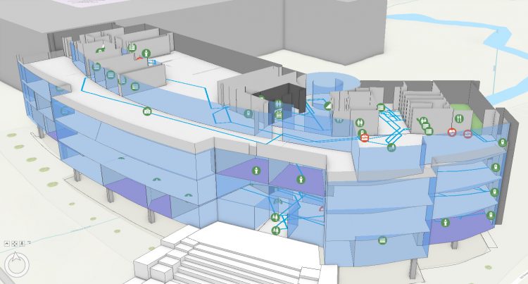
Why GIS and BIM Are Essential Partners in Corridor Mapping Projects
The two tools bring value to the data collected for these types of surveying projects.
Latest Articles


Foundations
Why GIS and BIM Are Essential Partners in Corridor Mapping Projects
The two tools bring value to the data collected for these types of surveying projects.