
Contributed by William Wallace, Managing Director of SlamScanner.com
If you still consider hand-held SLAM lidar systems as something new and unproven, or maybe less than “professional class” reality capture devices; you may have it wrong.
All types of lidar scanners are precisely engineered ranging devices. They all have the same fundamental job: to simply take angle and distance observations, and convert them to point coordinates, a point cloud. They can do it from a tripod, or a drone or a vehicle. A handheld SLAM scanner is no different in that sense.
In all cases, scanner measurements are collected relative to a known nodal point, and SLAM scanners simply introduce a new way of establishing/managing that node location.
SLAM’s “next gen” secret sauce is how it tracks the nodal point, through space and time. This is at the core of the many advantages of SLAM capture workflows. Regardless, in the end, SLAM scanners are just another type of scanner with their own defined accuracy specs.
From Tripods to Trajectories
Terrestrial lidar and tripod scanners occupy known fixed positions and use tilt compensators to notice any change of the node they occupy during a scan. The workflow also uses loop closure/traverse/control point techniques to tighten up those node locations.
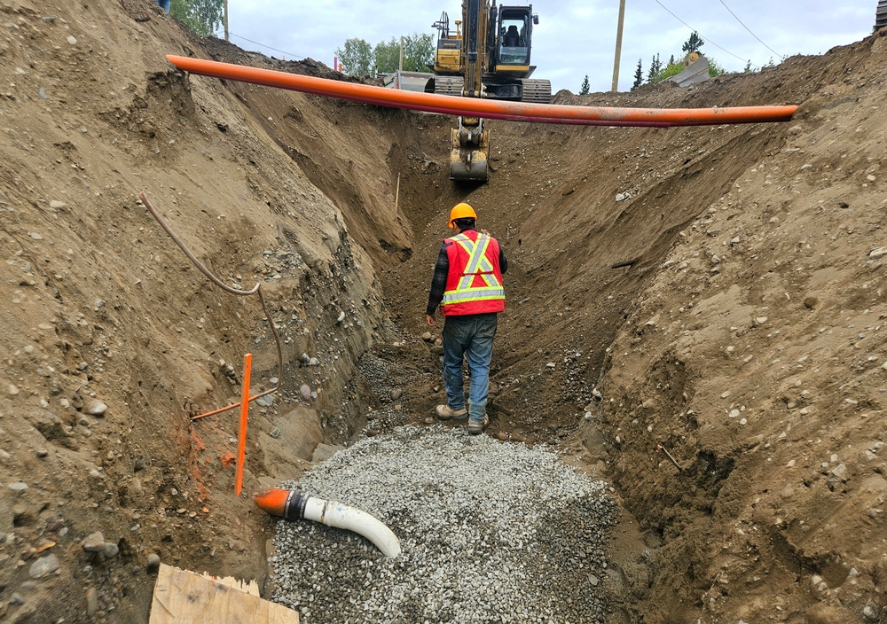
Vehicle and drone-mounted devices introduce additional sensors such as an IMU and leverage GNSS and trajectory engines for additional node tracking support. GCP’s are used for both geo and local positioning analyses and improvement.
True SLAM scanners build upon that entire previous positioning stack and introduce computer vision for location tracking in real time. They also employ unique loop closure techniques. The inclusion of GNSS and GCPs round out the ability to deliver the required accuracies and positioning.
A More Dynamic Version of the Same Process
Terrestrial scanner projects are typically comprised of a few or many nodal points (setups). Each are observation points for collecting angles and distance measurements to build the point cloud.
The SLAM approach increases the number of observation nodes into the thousands, all along the path the scanner travels during a scan, each with its own location and tilt. The path may also include internal hard points/locations (GCP’s) that provide a local or geo position framework. This 3D reconstruction is more complex but still essentially the same reliable well-known process to build the point cloud from observed locations.
Of course, survey professionals can include their control into the workflow in a familiar and predictable way.
At the end of the day, these SLAM scanners are just scanners.
Where SLAM Changes the Game
Arriving onsite for a SLAM project, your instrument comes out and you immediately start working. Rather than a whole day scanning a site, you grab what you need in an hour. Instead of planning multiple setups for your tripod workflow to make sure you get everything you need, you just walk in and out of every area you want to capture. Stick it up above the ceiling tiles or down into a manhole and walk between the machine and the wall to make sure you get the back side.
Yes, your accuracies will be a little less than you can get with your RCT360 but by the time they do their first setup setting out the tripod, getting their tribrach level, getting a back site target set and collected, you are packing up and heading home. Hasta la vista, baby!
Just like the early days of mobile mapping when people realized that capturing 10 miles of roadway before taking your first break had a lot of value, even with a centimeter thick point cloud; this new capability has a definite place in real world projects. The 80/20 rule is strongly at play with SLAM, and you can likely get way-better than “good enough” point clouds that cover the needs for 80% of your projects.
A New Workflow Standard Is Emerging
Handheld SLAM scanners are not a reinvention of the lidar device; they extend the workflow capabilities. They truly are the next-gen, lower-cost, higher-productivity reality capture platform.
Of course, there are a wide range of handheld “SLAM” scanners, and I am speaking about those suitable for reality capture professionals. There is a survey-grade class of handheld scanners with integrated GNSS, IP54 (and better) rating, ranges beyond 100m and relative accuracies of < 1cm at 50m. These are the next gen.
If the SLAM device you are looking at is 10x less expensive than your terrestrial scanner, then yeah, maybe that model is not ready for professional prime time. But if it is half as expensive (or less) and twice as fast in the field, you had better take a close look. You may need to start slamming soon to keep from getting slammed by the competition.