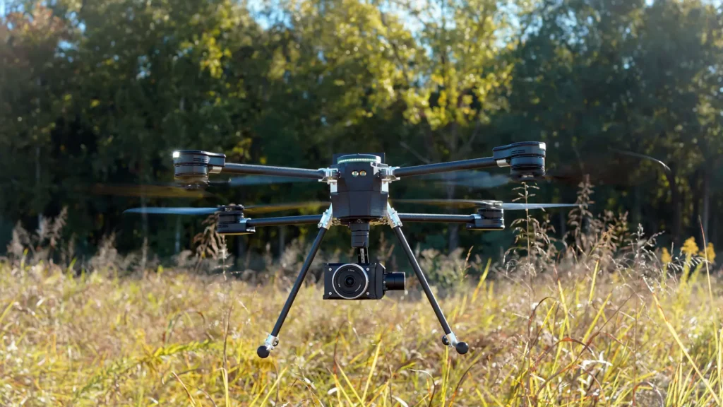
When you ask most people about the drones they use in their work, they’ll usually rattle off a list of payloads and specs – sensors, lidar, cameras, flying time. It’s easy to judge a drone by its hardware, but there’s a lot more going on under the surface. The software driving the platform and capturing the data can be more critical to a project’s success than any other single factor. The programming underneath is often what makes a workflow smooth and efficient, or clunky and frustrating.
For WISPR Systems, none of this is a surprise. The Mississippi-based company builds American-made drones with all the right specs for the work surveyors and inspection crews need, but with one critical difference. The software comes first. WISPR describes itself as a “software company that happens to build drones,” and for good reason. It builds drones for specific jobs rather than acting as a hardware manufacturer that adds software on the side.
That distinction matters, because it shapes the entire way the company approaches positioning, mission planning, and the data flow from capture to processing. For surveyors and inspection crews out in the field right now, this is where efficiency counts, from the field back to the office.
From the software to the sky
WISPR has been writing software since before it was building drones. The company traces its roots to Mississippi State around a decade ago, and the firmware and software stack has been in development ever since, which is why the software wasn’t layered on once the hardware was finished. It’s the foundation the rest of the platform was built around.
Every decision about which payloads to support and which features to build runs through the same question. Does this make it easier for someone to go do their job? That focused approach is why the SkyScout 2 platform behaves less like a collection of specs and more like a tool shaped around the way surveyors and inspection crews actually work.
Plenty of drones are able to fly, and plenty capture usable data, but the company treats those tasks as just the fundamentals. The real advantage, WISPR argues, is the software connecting the payload to the data and the data to the workflow. That connection is where the platform does things competitors struggle to match, and where the difference shows up on a real project rather than a spec sheet.
RTK as a focal point
For survey work, positioning systems can be a challenge. There are myriad options for extra receivers and add-on modules, which can end up as one more thing to configure before getting the drone in the air. WISPR’s answer is to build RTK and PPK into the platform rather than treat them as accessories. Nothing gets bolted on, because it’s already there.
That changes what setup looks like in the field. The workflow is agnostic in two ways. On the ground, pilots can pull corrections from an NTRIP or CORS network or from a local base they already own, with no new equipment to buy, carry, or troubleshoot. WISPR points to this as one of the clearest places its software-first approach pays off, handling positioning on the controller instead of pushing the operator toward extra hardware. Built-in RTK and PPK also means positioning accuracy is baked into the capture rather than corrected for afterward.
That same flexibility carries into post-processing. The data isn’t locked to a proprietary pipeline, so crews can bring it into whatever processing software they already use and trust. Fewer dependencies on the ground and fewer constraints downstream add up to fewer points of failure on a job site, with a setup the crew already knows.
Single Autonomous Mission
Picture a large survey site. Part of it is wide open, better flown high and fast with a wide lidar field of view to cover ground in fewer passes. Another part needs real density, tighter lines, and lower altitude, because the detail matters there. The old way of handling that is to build one mission, fly it, land, reconfigure, and build a second mission for the second zone, doing the math on field of view, trigger distance, line spacing, and GSD by hand or in a spreadsheet for each one.
WISPR lets a crew build all of it as a single mission. The open ground gets flown the efficient way, the detail zone gets tighter, denser collection where point cloud density matters most, and the flight carries out the changes in between without tearing the configuration down and starting over. Wispr Ground Control (WGC) calculates those parameters automatically, so there’s no manual GSD math between zones and the PIC can stay focused on flying. One build, one collection, hands off.
Not every deliverable wants the camera pointed straight down. Digital twins and as-built models often need oblique angles to capture the faces of a structure, not just its footprint, and a fixed nadir view leaves gaps where the detail matters most. WISPR lets the operator set whatever gimbal angle a job calls for, so the capture is built around the model that comes out of it rather than forcing the model to work around however the drone happened to fly. For crews delivering digital twins, that control is the difference between a clean as-built and a second trip to the site.
The same thinking shows up after landing, in the trip from capture to processing. Choosing a payload lets the software preset the parameters for it, so hand-tuning settings before every flight isn’t necessary. Selecting where the data is headed for processing means it comes off the aircraft in the format and geotag order that destination software expects, whether that’s a point cloud processing package or a photogrammetry and modeling pipeline, such as gNext Labs or Pix4D. Different software packages label and order things differently, and WISPR handles that up front rather than leaving it for cleanup later. This approach can eliminate the too-common “spreadsheet gymnastics” need before the real work can even start.
Put scenarios like these together, and it becomes clear that it is a platform built to absorb the complexity of a real job, in the air and on the ground, so the operator spends time on the survey itself instead of on the setup.
Built for regulated work
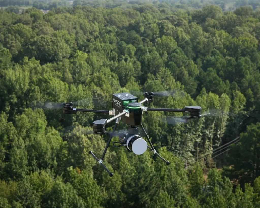
The software story is a crucial one for day-to-day operational management, but for a growing amount of work, deployability is just as important. WISPR builds its drones in Mississippi, and the SkyScout 2+ sits on the Blue UAS Cleared List and carries Green UAS approval, which puts it in range for government, public safety, and federally funded operations where procurement rules increasingly rule other options out. That combination matters as much as any capture spec – an American-made platform that clears the compliance bar without giving up the workflow advantages that make it worth flying in the first place.
The hardware earns its place, but the software is what turns a capable drone into a tool shaped around the work. For surveyors, inspection crews, and agencies deciding what to put in the field next, that is where WISPR is asking to be judged.
Ready to fly a platform built around the way you actually work?
Eliminate setup headaches and spreadsheet gymnastics with an American-made drone that just works.