Over the past several months, we’ve sat down with three leaders making significant contributions to the geospatial industry, with each working in a different corner of the field, and interviewed on their own terms and their own topics, but with some common threads that stand out. Dr. Shawana Johnson, a pioneer of satellite commercialization and founder of Global Marketing Insights. Dr. Julia Wagemann, founder of the geospatial training company thriveGEO and co-founder of Women+ in Geospatial. And Izabela Miller, GIS and IT leader, author, and leadership development architect.
Their conversations ranged across quantum computing in space, workforce development, and the art of translating technical expertise into organizational strategy. But certain threads ran through all three: curiosity as a professional foundation, a commitment to bringing others along, and a clear-eyed view of what it still takes to thrive in a field that doesn't always make it easy.
The Technology on the Horizon
Ask Dr. Shawana Johnson what's coming next, and she doesn't hesitate. "Quantum compute," she says. "I've been looking at it for five, maybe eight years."
For Johnson, whose career began helping transition NASA's Landsat program from a government-only system to one accessible for civil and commercial use, the promise of quantum isn't abstract. It's strategic. She points to IonQ's acquisition of Capella Space as a landmark signal: a quantum computing company buying a satellite provider with a specific goal of improving precision navigation, timing, and cybersecurity in space.
"When that work begins, we're really going to enter a new age of communications in space," she says. The downstream effects, she argues, will ripple from defense and intelligence all the way into everyday commercial applications: better-protected communications, on-orbit data processing, and a new class of space-based infrastructure that supports everything from Golden Dome-style defense systems to more secure civilian mapping technologies.
Dr. Julia Wagemann, interviewed separately on the topic of geospatial training and workforce development, identifies a different revolution happening closer to the ground. "Cloud-native geospatial is the future," she says plainly. Formats like STAC (Spatiotemporal Asset Catalog), which went from community idea to official Open Geospatial Consortium standard in just two or three years, signal a rare moment of industry-wide alignment.
"This was the fastest uptake of community effort where the entire community agreed very fast. It is very relevant and important because we work with geospatial data that does not have any boundaries."
Wagemann is careful to flag something she sees as underappreciated amid all the AI hype. A Microsoft report recently suggested that "geographer" was among 40 professions that could be eliminated by AI. She pushes back. "AI doesn't eliminate professions; it shifts them." The shift she sees coming is a move away from technical production and toward contextual intelligence, more time to ask the harder questions: why does this matter, and what do we do with it?
The Skills That Will Define the Next Decade
If the technology is changing, the human capabilities required to use it are evolving just as rapidly. Across three separate conversations, all three women pointed to a similar set of qualities: curiosity, communication, and critical thinking as the non-negotiables for anyone entering or advancing in the field.
For Johnson, it starts with intellectual humility. "You don't ever become an expert. You keep changing your viewpoints, you take in more technology, and it changes the way you view problems." She is direct about the temptations of the AI era: "You need to learn to write on your own, not always using ChatGPT. Be selective about the quality of inputs you take in."
Wagemann echoes that concern around critical thinking, particularly as low-code and no-code platforms continue to lower the barriers to entry. "Google Earth Engine allows you to bring together a lot of data sets and create nice workflows. But you still need to understand what is coming out of your workflow. Does it make sense? Is my result expected?" The tools may get easier, she argues, but the thinking must stay rigorous.
For Izabela Miller, whose interview focused on leadership development and the journey from technical expert to organizational strategist, the most critical skill gap isn't technical at all. It's translational. After years watching powerful GIS capabilities go underused because decision-makers couldn't understand their value, she made it her mission to bridge that divide.
"Strategy is not a mysterious executive skill," she says. "It is the discipline of connecting vision to reality - with evidence, language, and timeframes that leaders can respond to."
Her turning point came early in her career when she discovered a maturity model for GIS strategy. "For the first time, I had a way to measure where we were, not just where I wanted us to go. I brought it back to my organization and instead of saying 'I have a vision,' I could say, 'Here is our current state, here is what is at risk if we stay here, and here is a realistic path forward.'"
From "The Map Person" to Strategic Partner
Miller's framework speaks to one of the most persistent identity challenges facing geospatial professionals, particularly those who came up through the technical ranks. The transition from expert to leader, she says, is disorienting precisely because the old success formula stops working.
"I was promoted because I could fix things fast and figure out complex problems. Suddenly, my job was people, politics, budgets, and conversations with executives who did not speak my language."
The breakthrough wasn't learning to become someone else. It was reframing what leadership in a technical environment actually means. "Leadership in GIS or IT is not about having all the answers. It is about designing the conditions for better decisions."
Practically, she encourages professionals to run what she calls a "90-day experiment" - acting like a system designer rather than a heroic doer. Pay attention to how work enters your world. Identify hidden rework. Propose one small change: a clearer intake path, a prioritization conversation, or a short executive update that ties technical work to organizational goals.
"You do not have to wait for a new title to start behaving like a strategic partner."
The Case for Diversity, and the Work Still Required
Each of these women has, in different ways, also been a force for inclusion in a field that has historically underrepresented them. Though the topic arose organically in each of their separate interviews, all three spoke with a similar frankness about what still needs to change.
For Wagemann, who co-founded Women+ in Geospatial in 2019, the argument for diversity is both principled and practical. "The geospatial industry is already a niche, and we have a big workforce gap that is getting more concerning. If we are not welcoming to half of the talent pool, that is a problem." She's candid about the barriers that remain: some industry-specific, rooted in geospatial's steep technical learning curve; others societal - the familiar penalties that fall disproportionately on women who step away from work, miss a promotion cycle, or grow frustrated by environments that weren't designed with them in mind.
Miller frames the same challenge through the lens of invisible labor. In her leadership programs, she consistently sees women carrying contributions that don't show up in job descriptions: mentoring colleagues, bridging communication gaps, translating technical complexity for non-technical stakeholders. "Those 'soft' contributions are actually strategic assets. They are the foundation of trust, collaboration, and long-term adoption of any system. The opportunity is to stop treating those instincts as invisible extra work and start naming them as leadership."
Her advice is specific: claim responsibility for the bigger picture, ask for sponsorship rather than just approval, and build honest peer circles with others in similar roles.
"Leading with purpose does not mean becoming louder or more like someone else's idea of a leader. It means bringing your full intelligence, technical and relational, into the room."
Johnson brings a longer view to the same conversation. In a career spanning the birth of commercial satellite imagery, the rise of venture capital in geospatial, and now the emergence of quantum-enhanced space infrastructure, she has seen the industry transform beyond recognition. Her most consistent advice cuts across all of it:
"Never, never discount any individual that you talk to in this industry. Ever. You have no idea who you are speaking with."
She means it literally. Recently, a military officer she'd met at a joint exercise in Hawaii reappeared years later as a panelist at the Colorado Springs Space Summit, having risen to vice chief of space operations for the Space Force.
"Get to know everybody. You will see them again and again in your career, and they will inspire you to learn something new."
Why Geospatial, and Why Now
What is perhaps most striking, looking across all three interviews, is not just what these women know, but why they stay. Each has been offered exits into other industries, other roles, other definitions of success. Each has chosen to remain, and to bring others with them.
For Johnson, the answer is almost philosophical. "Geospatial is everywhere. We are not a market unto ourselves. We move across all markets. What could be more exciting than that?" She points to the sheer range of talent the field attracts and to the inherited legacy of innovators who built the foundations she now builds upon.
"We have inherited a great legacy of scientists and people who were really dedicated to moving industries forward. Honor that. Keep your skills current. Keep learning."
For Wagemann, the motivation is rooted in impact, closing the gap between those who understand geospatial data and those who could benefit most from it.
"This collective expertise and innovation is what our industry is made of. It is important to move forward."
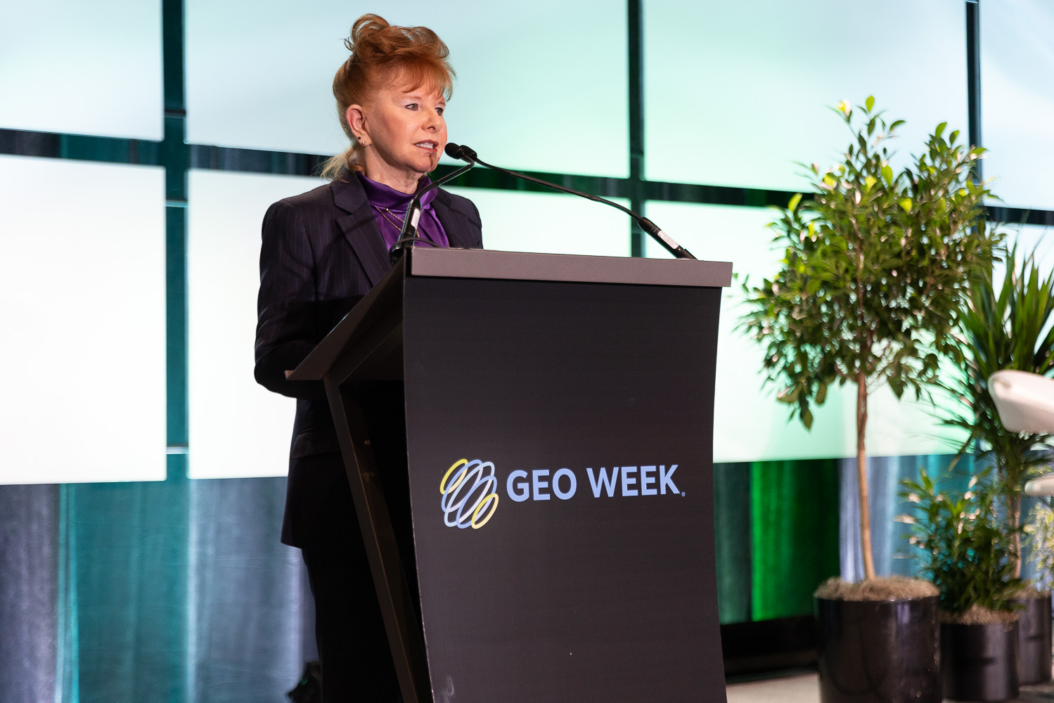
For Miller, attending Geo Week for the first time, the excitement is almost electric.
"Any time you bring together people who are leading in technical terrain and give them permission to talk about the human side of that work, something important happens."
She plans to test her framework against the reality she encounters, listening for where it resonates and where more support is needed. "I want to walk away with new questions, new collaborators, and a renewed sense of why this work matters."
This article was drawn from three separate interviews with Dr. Shawana Johnson, Dr. Julia Wagemann, and Izabela Miller.