

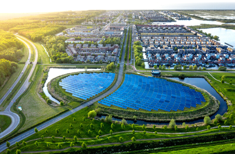
On April 22, we celebrated Earth Day, an annual recognition of the importance of maintaining our environment and a celebration of tools that are helping us live in a more sustainable way. It goes without saying that our society still has a ways to go in developing more sustainable practices, but recent innovations and shifts in thinking have at least shifted parts of our lives in the right direction. As we’ve talked about plenty of times over the years, geospatial technologies are often at the center of this environmental work, with the data collected with and processed by these tools helping set a baseline of where we are today and shape the plans for future change. From drone imagery being used to monitor melting glaciers in Africa, 3D scanners being used to study coral in warming waters, and lidar providing more information about carbon sinks, these tools are crucial to modern environmental monitoring.
This direct relationship between geospatial tools and the environment is not the only connection between the two areas, though. We know that the demand for work in the infrastructure sector is growing every year as critical assets continue to age and frequent inspection, maintenance, and even rebuilding are required to keep everything operating safely and efficiently. Given the Earth Day theme of the week, it’s worth thinking about how this work can play into our environmentally friendly thinking, as the renovation and rebuilding of some of these assets gives communities the chance to go more green, so to speak, with their critical infrastructure. In those conversations and workflows, technology is once again at the center of the work.
There are two buckets into which technology falls in terms of helping drive more sustainability through the infrastructure sector. The first is fairly straightforward, with the move to more digital solutions within the AEC sector helping directly drive down the environmental impact of these projects. Part of that is simply moving from paper to digital tools, a topic which Manish Sharma from the Nemetschek Group wrote about for Geo Week News last year. Additionally, the utilization of reality capture is helping cut down on constant trips back and forth to a project site, and more recently, SLAM-based scanners with real-time displays of areas scanned have cut down on that travel even more. That alone might not seem like that big of a difference on a project-by-project basis, but when you extrapolate it out for projects around the world, it becomes much more significant.
Along with this more direct correlation, cutting-edge technologies are also at the heart of developing more green infrastructure overall. For example, many communities are at least starting to explore – if not already implementing – more usage of high-speed rail as an alternative to air or car travel. That is not happening as much in the United States, but it’s becoming a more popular idea, especially because most of the base rail infrastructure is already in place. These assets would need to be updated for new use cases, though, a process that would undoubtedly be driven by mobile mapping technologies that are continuously improving and collecting data on rail at high speeds. Keeping these trains running smoothly also requires frequent inspection of tracks, a workflow again driven by these mobile mapping systems.
Sticking with the transportation theme, similar processes are required for promoting local travel via bikes or walking as opposed to short drives. To kickstart that effort, communities often need to convert multi-lane roads into more mixed-purpose areas, which again requires the as-is data that can be efficiently and accurately collected with ever-improving mobile mapping systems. In order to keep people using these bike and pedestrian lanes, the areas need to be maintained as well, and that inspection can be done with lidar systems that are now being developed specifically for these purposes.
There are even considerations as simple thinking about tree coverage when designing roadways, particularly in residential areas. This is generally secondary to the functionality of infrastructure like roads, but it makes a major difference for local communities and can change the environmental outlook of urban areas. Geospatial tools can be used – and are being used – to track tree coverage in local areas and cut down on what are known as urban heat islands.
As we continue to face environmental challenges, the relationship between geospatial technology and sustainable infrastructure will only continue to grow. From digitizing workflows to enabling green transportation alternatives and sustainable-focused urban development, these technologies pave the path toward creating more sustainable communities. By embracing these innovations, communities can work toward infrastructure that not only meets our immediate needs but also helps to stem the tide against climate change.

