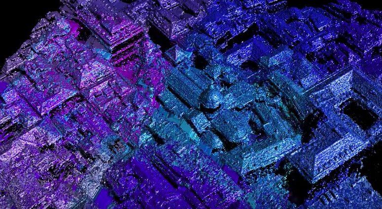
Add this to the list of videos that help explain our industry. Popular video blog Nat and Friends, which explores how various departments within Google work, recently turned its attention to Google Earth and asked—How is that 3D imagery generated?
If you already know the answer to that question, the video is still worth your time, since it includes some of the most lucid descriptions of 3D modeling I’ve seen anywhere. Click play, and you’ll find visuals that show how photogrammetry works, why machine vision is such a big deal for 3D modeling, and even how to add texture to a 3D mesh.
That’s not all—stay through to the end for a great explanation of how Google is using computer vision to track the way the Earth is changing.