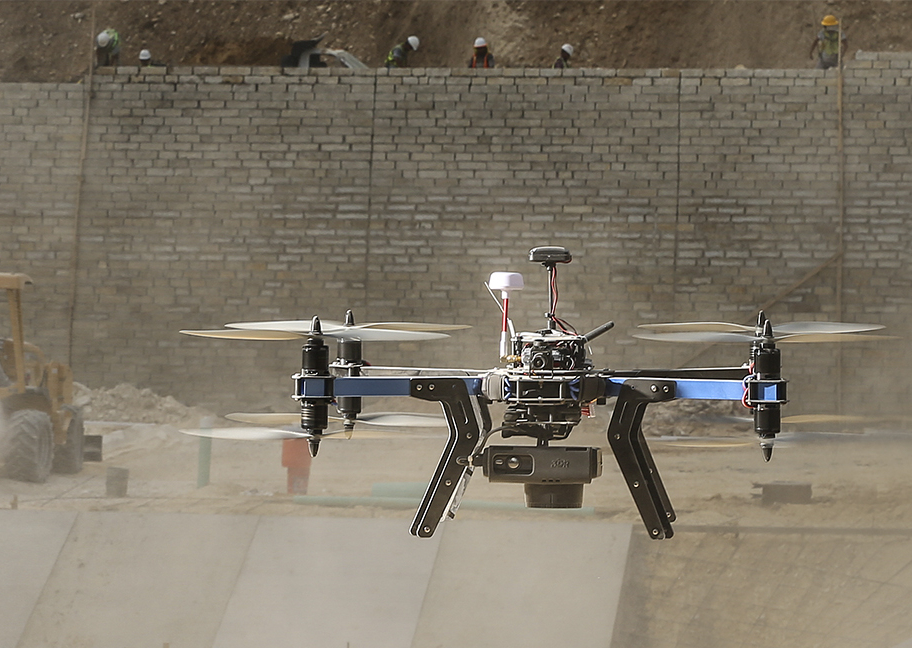
3D Robotics XM-8 Drone, Photo Courtesy of 3D Robotics
3D Robotics, the drone manufacturer founded by former Wired magazine editor Chris Anderson, has announced two new unmanned aerial systems for mapping aggressively priced at $5,400.
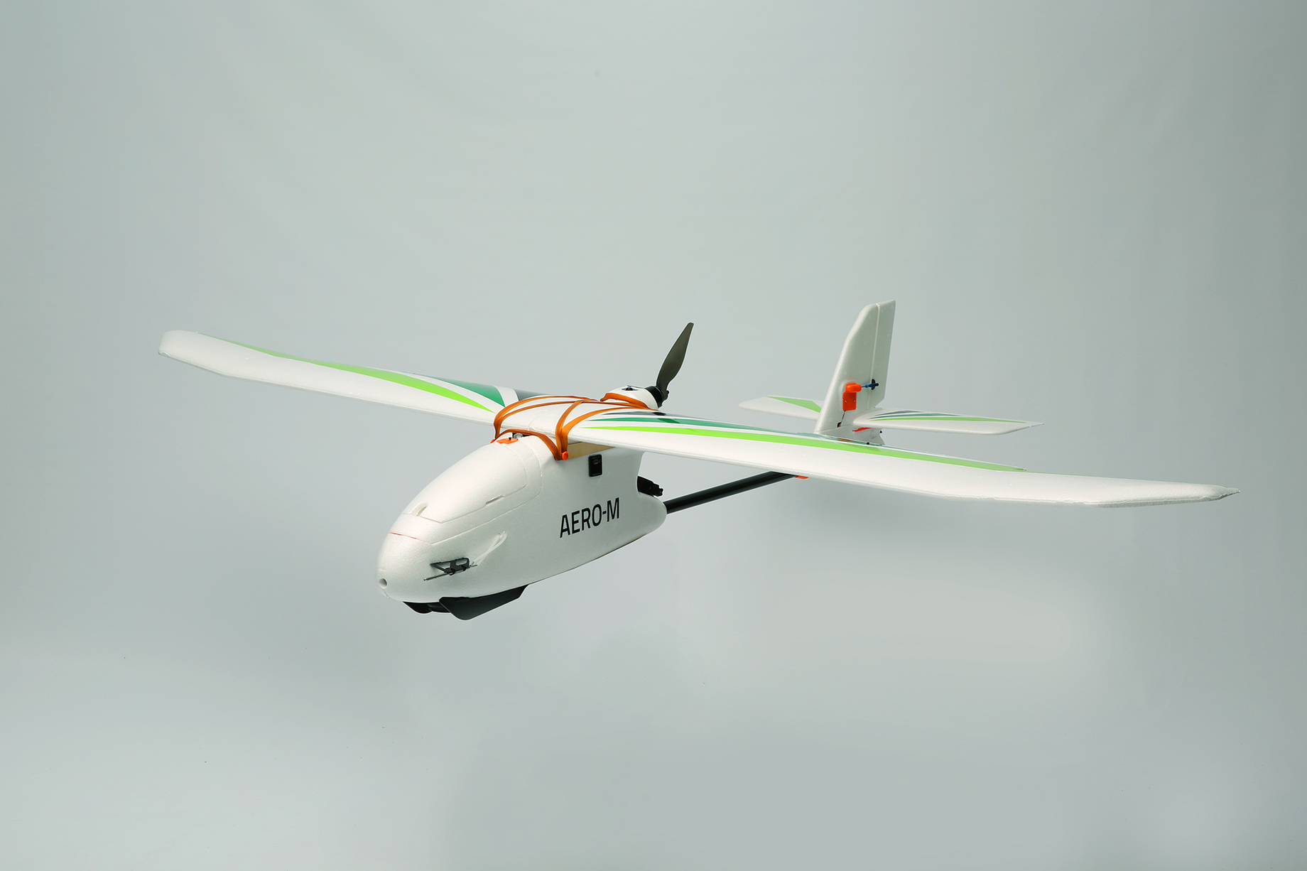
The Aero-M fixed wing system and the X8-M rotocopter are being touted by 3D Robotics as setting a new price point for aerial mapping technologies. Of their pricing strategy, 3D Robotics’ site says, “3DR wants to make the most advanced aerial technology available to as many people in as many places as we can […] We did this to revolutionize the aerial mapping price point, offering the most advanced and serious aerial data acquisition capabilities at a level of accessibility that will redefine not only the UAV industry, but will help as many people as we can to redefine their industries.”
Specs for both the Aero-M and X8-M packages distinguish them from the recreational drones on which 3D Robotics have made their name. The X8-M rotocopter, for instance, claims a ground sampling distance of .7 inches (2 cm) per pixel and an orthomosaic accuracy of 3-16 ft. Both systems include spare parts, a ground station, extra batteries, and a fully automated workflow that includes autopilot and automatic takeoff and landing.
 Both systems come with a 12 MP Canon camera (SPAR could not find mention of whether this sensor could be swapped or not) and Pix4D’s Pix4Dmapper LT software in an edition created especially for 3D Robotics. According to 3DR’s site, the software is “a complete and fully automatic mapping and modeling solution that can convert and join thousands images into highly accurate geo-referenced 2D mosaics.”
The site continues to explain that users who require software with “full 3D capabilities” and “agriculture-specific tools,” can upgrade to the Pix4Dmapper Pro version. “The Pro version can generate point clouds, digital surface and terrain models, create vector objects (polylines, surfaces, stockpiles) and create index maps (e.g. NDVI).” As of publication, this upgrade adds $5,000 to the total price of the system on the 3D Robotics webstore.
Both systems are available for ordering now from the 3D Robotics webstore.