Every week here at Geo Week News, we have been highlighting some of our favorite stories from around the internet that cover the geospatial, 3D, and AEC industries. Whether it’s a fascinating case study, insights from an industry thought leader, or deep dives into new tools, there is never any shortage of great writing and storytelling in this industry. So, below you can find links to three stories that we loved this week.
Doubling Down on Digital
Linda Duffy | The American Surveyor
This article discusses the surveying and geospatial industry's accelerating shift toward digital technologies and workflows. It explores how surveying firms are increasingly adopting advanced tools like digital twins, cloud-based data management, AI-assisted processing, and mobile scanning technologies to improve efficiency, accuracy, and client deliverables. The piece emphasizes that "doubling down on digital" isn't just about buying new equipment - it requires cultural change, workforce training, and strategic investment to fully realize the benefits of digital transformation in an industry that's moving rapidly from traditional methods to data-driven, technology-enabled practices.
Alabama Department of Transportation Enhances Performance-Based Budgeting With Bentley System’s AI-Powered Blyncsy Solution
Michaela Romero | Bentley News
The Alabama Department of Transportation (ALDOT) has implemented Bentley Systems' AI-powered Blyncsy solution to improve its performance-based budgeting and asset management. The technology uses computer vision and AI to automatically collect and analyze road condition data from vehicles equipped with cameras and sensors, providing ALDOT with comprehensive, up-to-date information about pavement quality, signs, markings, and other infrastructure assets across the state. This data-driven approach allows ALDOT to make more informed decisions about where to allocate maintenance budgets, prioritize repairs based on actual conditions rather than schedules, and demonstrate accountability in how taxpayer dollars are spent on road infrastructure.
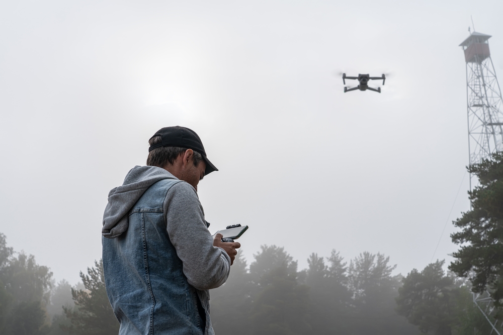
Drone Imagery, Field Mapping for WA Gold Mine
jnally | Spatial Source
This article describes how drone imagery and field mapping technology are being used at a Western Australian gold mine to improve operations and planning. The drones capture high-resolution aerial imagery that's processed into detailed maps, 3D models, and accurate volume calculations of stockpiles, excavations, and terrain - data that's critical for mine planning, safety assessments, and operational efficiency. This approach provides mining operations with faster, safer, and more cost-effective surveying compared to traditional ground-based methods, while delivering the precise spatial data needed for daily decision-making and long-term resource management at the mine site.