
September 29, 2014 — Optech is pleased to announce that it will be showcasing game-changing technologies at this year’s INTERGEO Conference and Trade Fair for Geodesy in Berlin, Germany on October 7-9, and has several exciting new developments to share with visitors to booth D4.021 in Hall 4.1.
New hardware and software advances are being released, all aimed at enhancing the quality of data deliverables while making survey planning and execution easier and more efficient than ever before. Come to INTERGEO to witness the latest, first-hand.
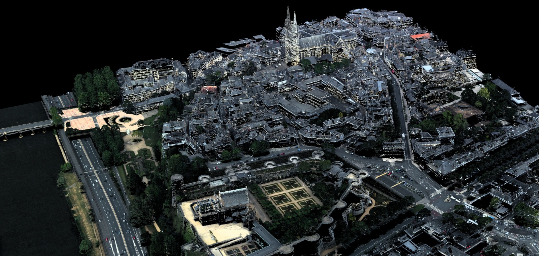
Optech’s new products include ILRIS Scan UAV, a complete hardware and software solution that integrates the ILRIS terrestrial laser scanner with UAV photogrammetry in an easy-to-use workflow, to reduce survey time while providing superior fused deliverables.
Agencies concerned with coastal zone mapping and monitoring can learn about the new CZMIL Project Program, which enables them to take advantage of CZMIL’s 80-m clear-water maximum depth and unparalleled turbid/muddy-water penetration even for smaller projects, without having to invest in permanent equipment or personnel.
“We are very excited about the new technologies and products we’re showcasing for the first time at INTERGEO 2014,” said Michael Sitar, Business Manager, Airborne Mapping Solutions. “We have made great advances in many key areas that translate directly to survey cost reduction, higher performance, and ease of use. A brand new airborne sensor will be available, as well as certified helicopter installation options and new processing workflows. Airborne, mobile, static or UAV – we have something for everyone this year.”
Optech product managers and sales personnel will be present to explain the new systems at Optech Booth D4.021 in Hall 4.1, where they will be more than happy to answer questions on our new capabilities and releases.
About Optech
Optech is the world leader in high-accuracy lidar 3D survey systems, integrated cameras, and productivity-enhancing workflows. With operations and staff worldwide, Optech offers both standalone and fully integrated lidar and camera solutions in airborne mapping, airborne lidar bathymetry, mobile mapping, terrestrial laser scanning, mine cavity monitoring, and industrial process control, as well as space-proven sensors. Accuracy and productivity matter!


