

We’ve long known the power of 3D visualization for humans, but until recently even large industries like construction, facility management, and other similar spaces couldn’t afford and/or didn’t have the knowledge required to fully take advantage of this technology. That has changed in recent years, with reality capture becoming more commonplace in industrial settings over the last decade or so. Even more recently, though, things like reality capture and other modeling technology have become rapidly more accessible, allowing for these visualization capabilities to be applied in more niche areas. FATMAP has been a good example of this, and they are in the news this week with the announcement that subscription-based fitness platform Strava had acquired FATMAP to eventually integrate into their app.
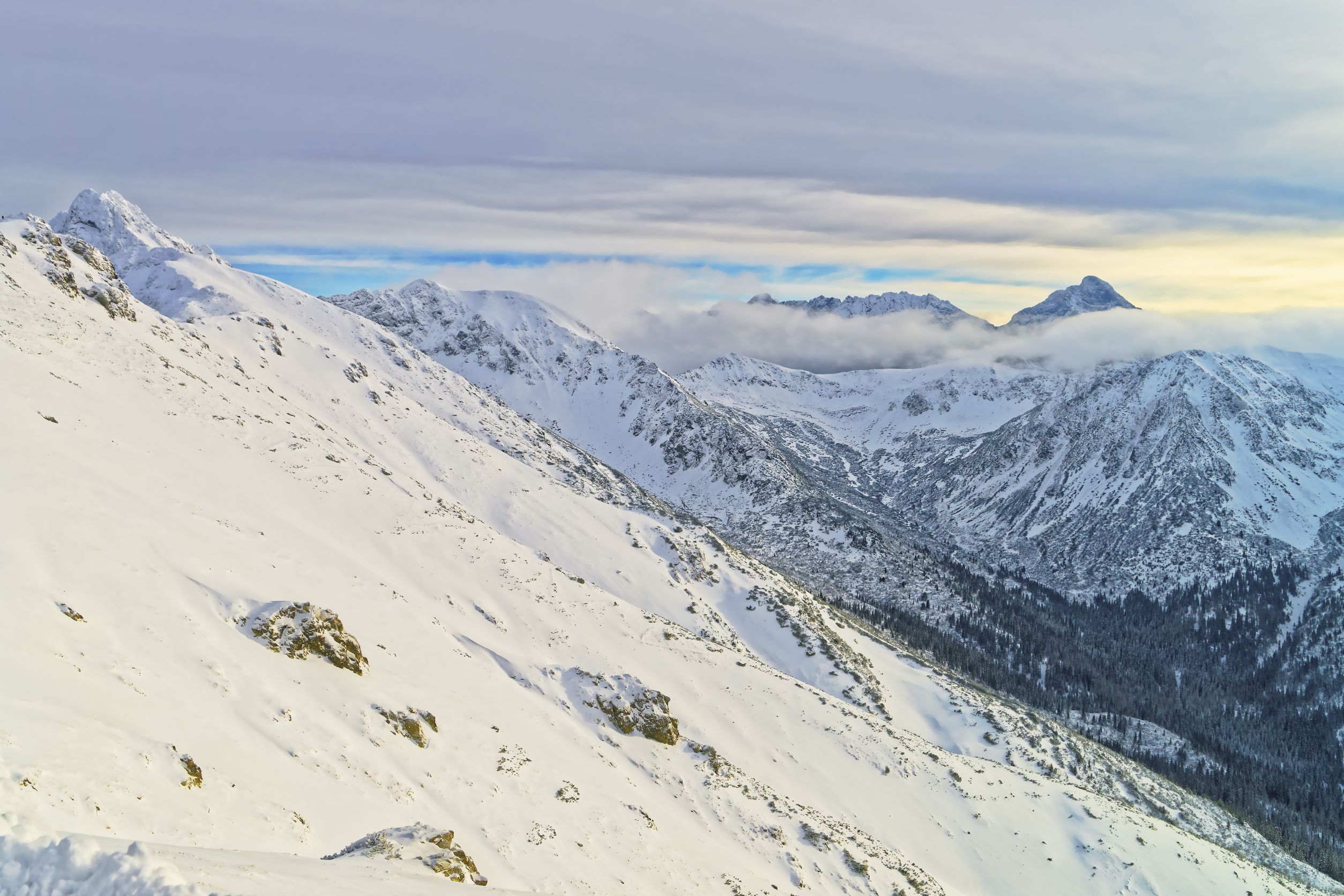
FATMAP takes the idea of 3D visualization and applies them specifically for enthusiasts of mountain activities such as skiing and hiking. The company, which was originally founded as a dedicated app specifically for skiers, takes data from tri-stereoscopic satellite imagery to create highly accurate 3D models of mountainous areas, showing elevation grid resolution of 2m. The app provides outdoor enthusiasts with key information regardless of what users are ultimately planning. Included in the 3D models are layouts and information for different trails and pistes, marked ski or snowboard paths down a mountain. However, the elevation information and other details included in the accurate 3D models also allow for safer off-piste runs – ski or snowboard runs off defined paths – and off-trail hiking.
Now, all of this information will be available to Strava subscribers, or at least will be eventually. Given the lift required to integrate all of this information into the existing Strava app, it’s not something that can take place immediately upon the acquisition. Instead, Strava indicates that the integration should be in place by the middle of this year. This will be combined with the data already within Strava’s products, which largely include city and suburban areas for runners and other fitness enthusiasts.
Below is a mock up from Strava showcasing what the integration will ultimately look like.
All of this serves to enhance the product offered by Strava, which is among the top applications used by fitness enthusiasts. Largely built around offerings catered to runners and cyclists, the addition of this accurate, 3D elevation data in mountains opens up their market to new potential subscribers. Crucially, especially considering the terrain on which the FATMAP data is focused, these maps are viewable offline as well. With FATMAP, hikers and skiers can not only get information about where they are going, but can pre-plan routes with accurate information about the conditions they’re likely to encounter. The data included within the 3D models include topographic contours, as well as both natural and man-made features like rivers, lakes, chairlifts, and mountain housing. Users can also overlay weather forecast information and share their routes with other like-minded outdoor enthusiasts.
In a press statement, Strava CEO and co-founder Michael Horvath said of the acquisition, “In 2022, nearly 10 million routes were saved and recommended by active individuals around the world on Strava. Maps and tools are powerful unlocks to deliver daily value and motivate our active community. We have a shared vision with FATMAP to inspire more people to move by empowering them to discover and experience the joy of the outdoors. For us, the opportunity to reimagine the purpose of maps and how they inspire exploration is an outsized advantage for a differentiated outdoor experience.”
Misha Gopaul, FATMAP’s CEO who will transition to serve as Strava’s Vice President of Product, added, “We started FATMAP with a mission to make outdoor experiences more accessible. Where other map platforms have been designed for navigating streets and cities, we wanted to build a map designed specifically to help people explore. Joining forces with Strava opens up new exciting possibilities and will accelerate our progress to enable millions more people to explore the world's wild places, safely and sustainably.”
As of this writing, the terms of the acquisition have not been announced.


.jpg.small.400x400.jpg)