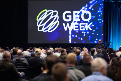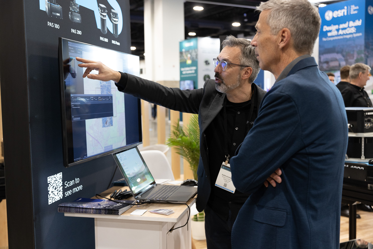
The geospatial industry is at an inflection point. Emerging technologies are reshaping workflows, long-awaited policy changes are on the horizon, and the talent pipeline is under more pressure than ever. Geo Week 2026 brings these challenges into focus, offering attendees the chance to hear from the people working at the forefront of each one.
This year’s program spans industries, experiences and use cases, but there are common themes throughout. After workig to put together the conference program, collaborating with speakers, and working with our partners, these six key questions reflect where the industry stands today and where it’s headed. Whether you work in surveying, AEC, mapping, or infrastructure, these are the themes that will shape your conversations on the show floor and well beyond.
Where Does AI Fit in Geospatial Workflows?
AI has moved well past the experimental phase in the geospatial sector. Automated feature extraction, real-time change detection, and generative tools for modeling and analysis are already making their way into everyday practice. But with that progress come real questions about reliability, oversight, and where the technology genuinely adds value versus where it introduces risk.
At Geo Week, sessions will dig into practical AI use cases across surveying, AEC, mapping, and infrastructure. Speakers will examine what AI can realistically improve, where human expertise remains essential, and how the technology is shifting expectations around speed, quality, and decision-making. The goal isn’t hype. It’s a grounded look at what works, what doesn’t, and what’s next.
What Does NSRS Modernization Mean for the Industry?
The modernization of the National Spatial Reference System is one of the most consequential changes the surveying and geospatial fields will face this decade. New reference frames, updated models, and significant shifts to long-established workflows are on the way, and professionals across mapping, engineering, land development, and infrastructure need to be ready.
Geo Week will give attendees direct access to the people and organizations leading the modernization effort. Sessions will break down what’s changing, what it means for day-to-day practices, and how organizations can navigate the transition smoothly. It’s a rare opportunity to understand the implications before they take effect and get answers from the experts firsthand.
How Do We Solve the Accuracy and Data Management Challenge?
Spatial data keeps growing in volume and velocity, but many organizations are still grappling with accuracy, interoperability, and governance. Sensors are more accessible than ever, from mobile mapping systems to drone-based platforms, yet the real challenge has shifted from collecting data to validating it, controlling it, and turning it into information that teams can actually trust. For project managers and clients alike, "how much accuracy do I need?" remains one of the hardest questions to answer.
Geo Week presenters will share strategies for managing increasingly complex datasets and navigating accuracy requirements across industries. Expect lessons learned from high-stakes projects, discussions around emerging standards, and practical guidance on building data practices that scale across teams and tools.
What Does the Future of Mapping Look Like?
New sensors, greater computing power, and rising expectations for timeliness are fundamentally changing how we map the world. Techniques like Gaussian splatting, scan-to-BIM workflows, and multi-sensor fusion are unlocking possibilities that were out of reach just a few years ago. Professionals aren’t just mapping faster. They’re mapping in entirely new ways.
Geo Week will showcase these next-generation approaches, highlighting where they excel and where they still have limitations. Attendees will come away with a clearer picture of how emerging methods can strengthen existing workflows, open up new markets, and redefine how organizations deliver value to clients and stakeholders.
How Are Converging Technologies Transforming Underground Infrastructure?
Aging infrastructure, expanding cities, and growing demand for resilience have made subsurface mapping more critical and more complex than ever before. Ground-penetrating radar, mobile mapping, digital twins, and integrated project delivery are helping organizations locate, model, and manage underground assets with far greater clarity. Even so, many teams face a steep learning curve when it comes to collecting, interpreting, and sharing this information accurately.
Geo Week will feature case studies and technical sessions focused on new approaches to utility mapping, covering both the innovations and the operational realities. Experts will discuss how better underground data leads to safer construction, smarter maintenance, and more predictable project outcomes.
How Do We Build and Sustain a Future-Ready Workforce?
The geospatial and AEC industries are facing a defining workforce moment. Demand is rising, technology is evolving rapidly, and experienced professionals are retiring faster than new ones are entering the field. The central question is how to build teams and career paths that keep pace with digital transformation while staying rooted in foundational expertise.
Geo Week’s program tackles workforce development from multiple angles, including training, certification, mentorship, recruiting, upskilling, and leadership. Speakers will explore what organizations can do right now to cultivate a resilient, knowledgeable workforce that’s equipped to meet the industry’s growing demands.
No matter which sessions you attend or which corners of the show floor you explore, these six themes will keep surfacing. They reflect the biggest challenges and opportunities the geospatial industry is navigating right now, and the people in the room with you are the ones working through them in real time. Take advantage of that. Ask questions, start conversations, and bring what you learn back to your team. That's what Geo Week is for.