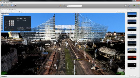
Belgium firm calls mobile mapping a ‘disruptive technology’ to ‘change face of GIS forever’
Orbit GeoSpatial Technologies released its ArcGIS Mobile Mapping software at ESRI’s User Conference in San Diego this week.
Headquartered in Lokeran, Belgium, Orbit sells software for managing, viewing, feature extraction, GIS integration, overlay, deployment, sharing, publishing, embedding and processing in workflows of mobile mapping content. Orbit calls mobile mapping “a disruptive technology that will change the face of GIS forever.”
The ArcGIS Mobile Mapping software is part of the company’s 10.5 product releases being rolled out this month, including:
- Mobile Mapping Manager 10.5: new software for content management and organization, includes tools for visualization and checkup of accuracy, many new presentation options, and even a fly-through movie maker
- Mobile Mapping Explorer: new software to open up the use of complex mobile mapping content to the masses
- Mobile Mapping Publisher: manages user profiles and permissions. ArcGIS users can access panoramic imagery and point cloud data, perform measurements, register new features, and overlay ArcGIS data in the 3D view. Users can also share mobile mapping content online, embed in corporate software and deliver to mobile devices.


