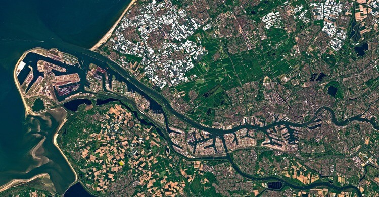
Just prior to last month’s Esri User Conference, Earth intelligence and space infrastructure company Maxar announced the initial release of their new Geospatial Platform. The Maxar Geospatial Platform (MGP) is designed to allow easier access to the company’s satellite imagery and other geospatial data, with the company saying it “will simplify the discovery, purchasing, and integration of geospatial data and analytics.” MGP is available for “select customers” right now, per the release of the news, with Maxar expecting the platform to be ready for broad adoption later this year.
Users of MGP will have access to a variety of geospatial information and other insights from Maxar, including satellite imagery and basemaps. Along with the base data, MGP offers analytics capabilities for this data, persistent change monitoring, and analysis-ready data. They also indicate that access to Precision3D – which was recently added to Esri’s Living Atlas of the World as well – will also be available at some point in the near future.
In addition to the broad offerings, Maxar has introduced three main applications to be used within MGP. The first is MGP Xpress, which gives users the opportunity to discover and purchase Maxar’s high-resolution satellite imagery, the library for which comes in at over 125 petabytes. MGP Pro is a subscription service which gives users on-demand access to Maxar’s imagery library, daily collections, imagery basemaps, and other geospatial data products. And finally, MGP APIs allow for integration of APIs, SDKs, and plugins so users can either power their own applications with relevant Maxar content, or simplify their analytics processes.
Access to satellite imagery is becoming more in-demand by more industries than ever before as it became easier and cheaper for Earth observation satellites to be launched, and now this move from Maxar represents the next step of that process. That is, providing seamless and easy access to this data in a way users can easily understand. Providing access to a single platform to not only purchase the imagery, but also ways to integrate that data with in-house tools as well as access to analytical tools from Maxar allows companies and organizations who may be new to this world to gain value from the crucial data.
“Maxar has been collecting the highest quality Earth Intelligence for more than 20 years, and MGP revolutionizes how customers and the general public can access that premium content to improve their decision-making processes,” said Dan Jablonsky, Maxar President and Chief Executive Officer. “MGP will enable experienced analysts, technical developers and occasional users of geospatial data to equally leverage Maxar data for mapping, monitoring and analysis in their workflows.”


