
The endless possibilities associated with location data as well the power of maps are topics that we’ve explored in great detail, but the practical implications of both can difficult to define. Taking the geographic approach for which Esri CEO Jack Dangermond has advocated is sound advice, but what does it mean to do so in a given industry? Geospatial technology can help change the world, but what do those changes look like for professionals that are tasked with optimizing tasks or workflows?
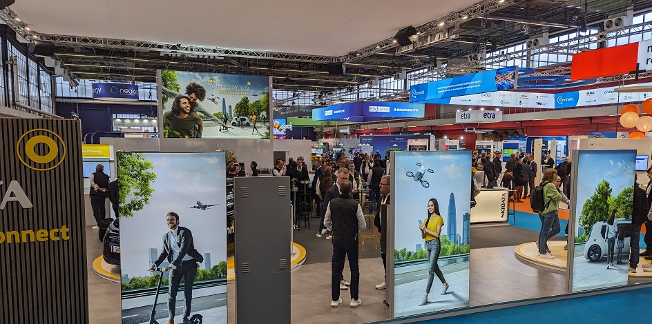
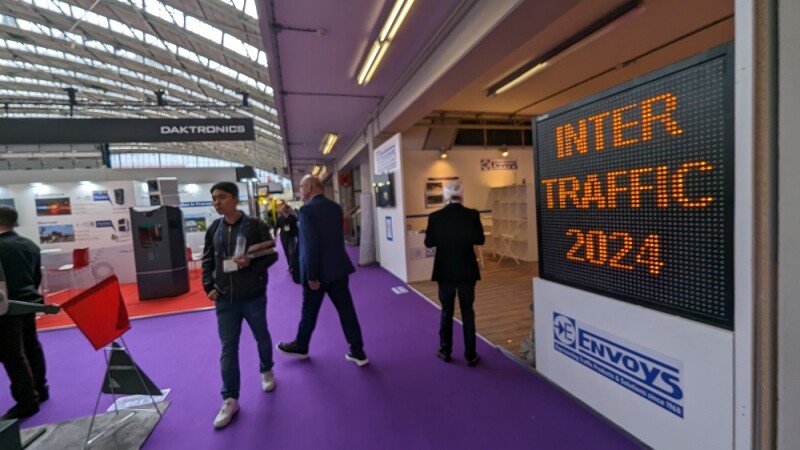
Intertraffic Amsterdam answered those exact questions for traffic technology professionals. While the event features traditional pieces of traffic equipment like parking gates and road signs, smart mobility products that support everything from connected car services to sustainable mobility defined the event in a whole new way. Many of these products utilize location data and intelligence that are foundational to the geospatial community.
The innovations on display detail how data captured from remote sensing solutions are defining smart products in mobility and mobility-as-a-service solutions, but what do these products look like?
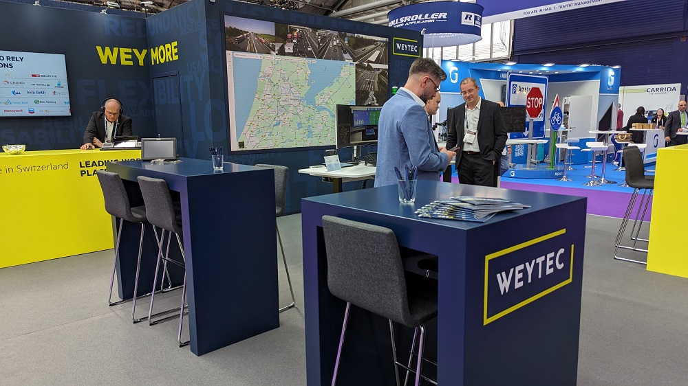
The WEYTEC booth had a map displayed, which is the sort of information they incorporate into control rooms that protect people, assets, and organizations. Products like their smartVISUAL solution pulls in various pieces of information, including map data, enabling users to personalize workspaces in order to react and interact more efficiently.
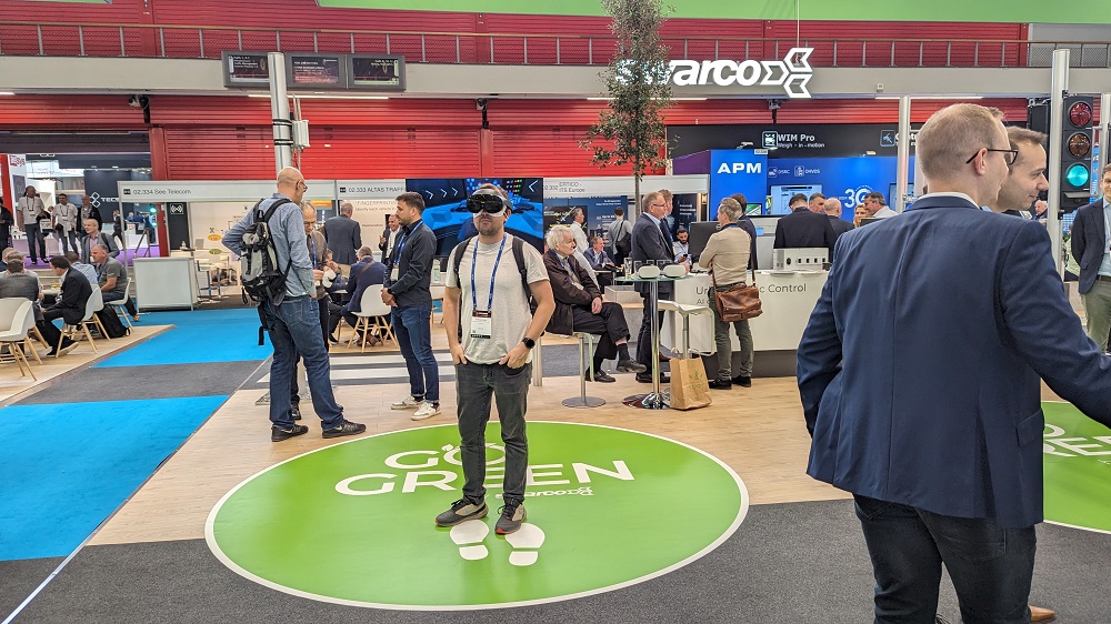
SWARCO helps infrastructure operators proactively detect natural hazards and optimize traffic management with sensors and the Internet of Things. At Intertraffic, they showed off their urban traffic management systems that are designed to get travelers to their destination as quickly and safely as possible. It’s part of their integrated approach to traffic management that define the larger smart city mobility initiative. VR headsets allowed attendees to experience this initiative in a whole new way.
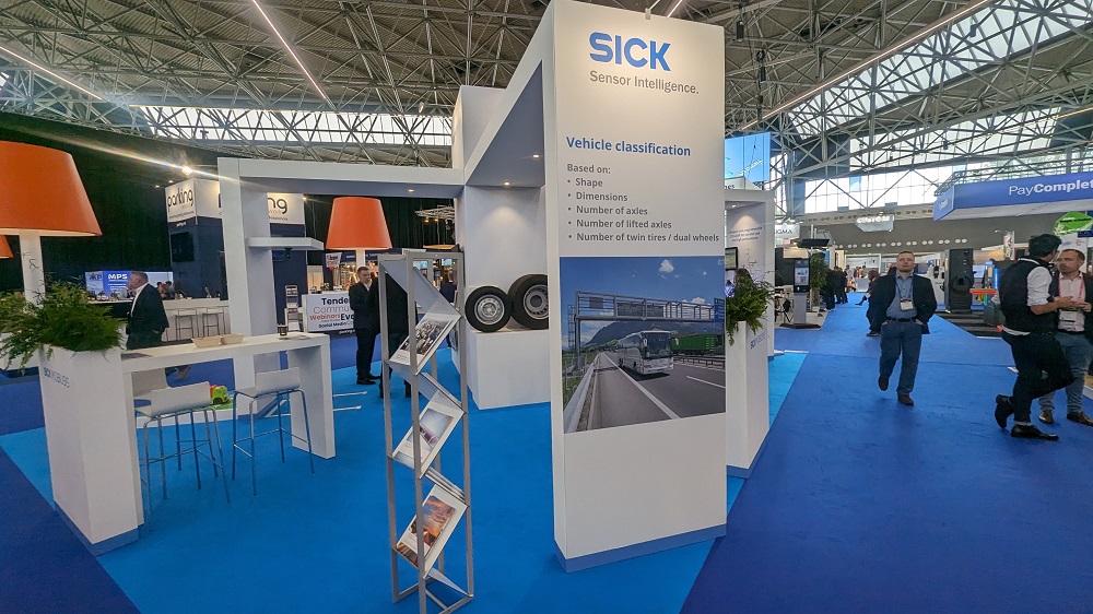
SICK provides leading-edge solutions for sensor-based applications in the industrial and traffic sectors. Their new Overheight Detection System (OHD) prevents users from putting cables and installations across the road, as it can be used just from one roadside. Additionally, their portfolio of tunnel sensors are designed for urban, overland, train and metro tunnels.
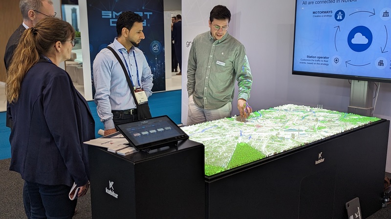
Graphmasters enables direct communications between car and traffic management operators based on purpose, destination, time, and category. Those communications were illustrated as part of an interactive map, giving attendees a better sense of the benefits these connections enable.
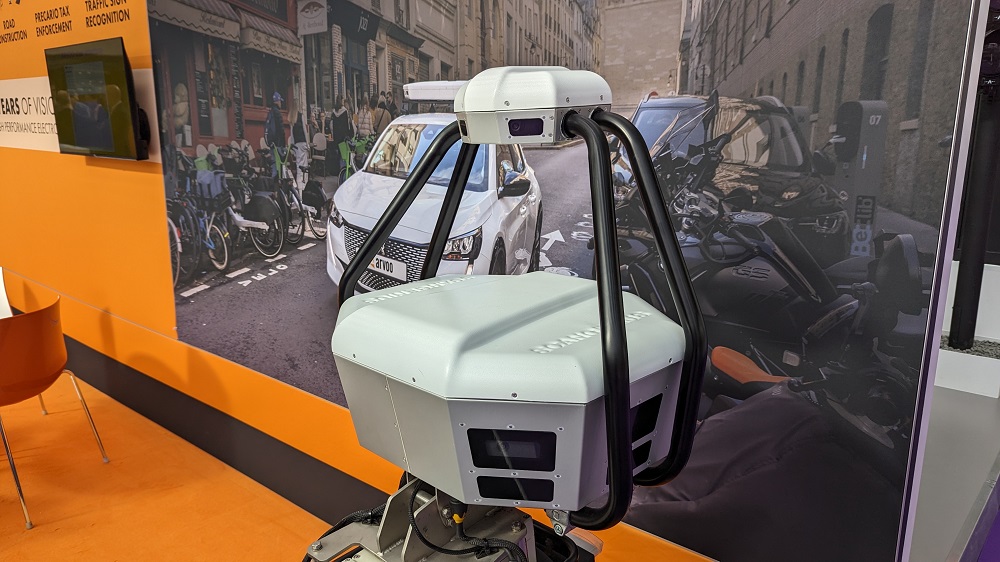
ARVOO is a global supplier of Automatic License Plate Recognition systems. Their ScanGenius product continually and constantly scans an area, allowing license plates to be read in both the color and infrared spectrum. The sharp, panoramic images it provides gives stakeholders a plethora of information.

FLIR is a name very familiar to geospatial professionals, with their efforts to develop advanced 3D 'thematic mapping' technology a good example of the type of innovation they’ve enabled. At Intertraffic, they showcased a similar sense of innovation with the debut of the TrafiBot AI 4K visible camera system for interurban traffic intelligence. The closed-circuit traffic camera utilizes AI to provide reliable traffic data collection along interurban roadways.
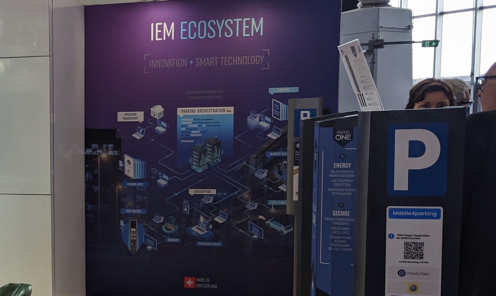
IEM designs tailored tools for centralized parking management, boasting recognized expertise and services across Europe. Their PrestoSense detectors are installed on on-street parking bays. They not only detect a vehicle’s presence, but also the parking duration of a car.
SKIDATA is a leader in parking solutions but is also an enabler of comprehensive Mobility Hubs. These hubs are defining the future of urban parking that utilize location data to create products like the Automated Valet Parking (AVP), which was created to transform parking experiences into something seamless, automated, and entirely hands-free.
 These are just a few examples of the products and innovations from Intertraffic that utilize location data and geospatial technology in a way that is helping shape the future of the entire industry. As expectations with traffic technology continue to evolve, these innovations will need to get that much more powerful, highlighting exactly how geospatial industry will be a foundational element for everyone in the space.


