

It would’ve been hard to dream up a more inspirational start to the second day of Geo Week 2024 than the keynote presentations which got the day going. Monday’s keynote session – entitled Geospatial for Good: How is Geospatial Technology Changing the World? – truly embodied that idea of “good.” We all know how geospatial tools like GIS and remote sensing can make workflows more efficient and fill in gaps for all kinds of businesses, but the most important benefits of this technology can be seen in the ways it works to help human society and save our planet.
It was this theme of using these tools and technologies for the greater good that started off Monday, and attendees got to experience two phenomenal presentations from a pair of women who are smack dab in the middle of using this technology for the greater good. The presenters for Monday’s keynote were Dr. Este Geraghty, Esri’s Chief Medical Officer, and Ronda Schrenk, CEO of the U.S. Geospatial Intelligence Foundation.
The morning began with a presentation from Geragthy, where she began talking about how her travels around the world have helped her further immerse herself in her love of art, talking specifically about tapestries. She used that to propel her presentation forward to really weave a tapestry of examples and stories showcasing all of the ways that GIS and other geospatial technologies are helping to make the world a better place.
She spoke about crises in the country of Lebanon, where “things have never been easy since it declared its independence in 1943.” Geraghty relayed the work being done by Mr. Chahine Hamze, the GIS Guru at the Lebanese Red Cross, where he’s done tremendous work using GIS to help citizens through these conflicts, including a major effort to remove wounded fighters from remote areas.
She quoted him talking about his work, saying, “I was responsible for GIS, and it was absolutely critical to make my maps right, because any mistake could create conflict. It was absolutely terrifying.”
This was a sobering start to her presentation, but it really set the tone for the theme of the talk, which was just how important this work is in all areas of life. In addition to being used to help citizens and wounded fighters in terrible conflicts, Geraghty talked about GIS being used to provide support in refugee camps, particularly for measuring crowds in these camps to help fight against infectious disease, stunted growth in children, and mental stresses.
She also talked about how GIS is used in sustainable development, something that everyone knows is absolutely crucial in today’s world. The Philippines was used as one example of this, where GIS technology is used to map the variety of threats faced by this island nation. Speaking about Dr. Renato Solidum of GeoRisk Philippines, Geragthy said “his initiative transcends traditional mapping by introducing ‘disaster imagination.’”
The tapestry continued its weaving with discussion about how GIS is used in health crises, something we all experienced firsthand in the 2020 COVID pandemic. Geragthy pointed specifically to work done in Clackamas County, Oregon using GIS technology. She also talked about how GIS was used in a sobering art display in Washington D.C. in the summer of 2021, where flags were planted at the National Mall representing every person who had died of COVID to that point – over 700,000 flags, with the work starting with a digital replica of the site.
Finally, she spoke about an Esri colleague, Pat Dolan, who has been fighting against ALS. A long-time Esri employee, he used his 30 years of experience in the field to help him “manage his new reality.” That involved using 3D mapping technology to track his progress in therapy to visually track how much he was able to flex and extend his fingers.
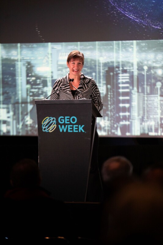
After that inspirational presentation, Schrenk took the stage and really built off of all the work Geragthy discussed with a tapestry of her own. She started her talk by noting the famous Arthur C. Clark quote - “Any sufficiently advanced technology is indistinguishable from magic.”
That certainly feels true of all the technology on display at Geo Week, but as Schrenk notes, it’s really about the combination of these tools. It’s from there that the magic is derived.
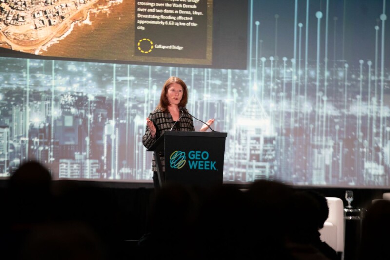
Looking at a series of case studies on the kind of work the USGIF performs using remote sensing, she started with a discussion about devastation in Libya after Storm Daniel last year. Given the already neglected infrastructure in the nation, the storm was truly disastrous for the nation, but geospatial technology helped counteract that. Schrenk detailed how satellite imagery helped assess the areas with the most severe damage and identify safe evacuation routes for citizens.
She also looked at the wildfires that ravaged Canada last year, and whose effects were felt throughout the East Coast of the United States. There, government officials were able to use satellite imagery from Planet, which were coming in on a frequent basis, to coordinate response crews throughout the nation. The same processes have been used in the United States for wildfires here as well.
In addition to these strategies to help combat devastating effects from climate change, Schrenk also talked about the ways satellite imagery and ground-based remote sensing can be used to build a better society. “They help us reduce emissions, protect critical ecosystems, and lay the groundwork for transitioning to renewable energy – all while building resilience and increasing the flow of capital toward climate-positive investments,” she told the packed audience.
She gave many examples of this, including the use of satellites to track methane being sent into the atmosphere, tracking changes in the environment, such as mangroves in Senegal, and the changing urban landscape in places in Phoenix, Arizona and Las Vegas, Nevada.
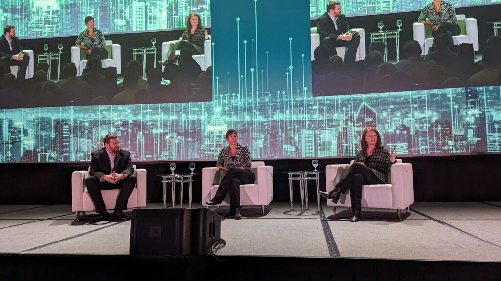
Each of these presentations left the Geo Week crowd with an even better idea of how the technologies they utilize and build on a daily basis are being used to truly make this world a better place. At the end of the session, the two presenters came together for a short, moderated discussion where they talked about the importance of bringing data together, collaboration between adjacent industries, and what the future of the industry will look like.
It’s safe to say, everyone left this keynote session feeling inspired to continue their work helping their fellow humans and the planet as a whole.


