
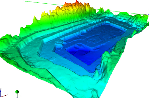
BRESCIA, Italy – Gexcel, a firm spun off from the University of Brescia here, announced this week it has released a newly developed lidar point cloud streaming cloud-enabled-server software. The gexcel R3Xtream Point Cloud Engine software provides browser-based visualization access to virtually unlimited-sized point clouds on standalone workstations and network servers, according to the release. For organizations without an appropriate Internet-serving environment, Gexcel also can provide fully scalable and secure cloud services, the company said.
The gexcel R3Xtream Point Cloud Engine provides data serving and sharing of unlimited pointcloud and image scan sizes concurrently to multiple users, unhampered by most bandwidth speed limitations, according to the press release. Combined with Gexcel’s JRC 3D Reconstructor analysis software, full feature extraction, surface rendered solid images and analysis can be executed with metadata, vector and raster layers stored for later use in CAD packages. The gexcel R3Xtream Point Cloud Engine is designed to be well suited to large enterprise environments employing sensor fusion of mobile mapping, tripod mounted terrestrial and airborne lidar combined projects. The JRC 3D Reconstructor package also provides full functionality to incorporate almost any type of external camera capture device so that the imagery can be directly calibrated and incorporated into existing lidar systems and projects.
The software supports the E57 and LAS data formats, and is compatible with scanners made by the likes of Faro, Leica, MDL, Optech, Riegl, Trimble and Z+F.
The new software will be on display at Intergeo 2012 in Hannover, Germany.


