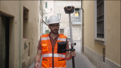
Advanced Navigation has successfully demonstrated its Hybrid Navigation System in the Pyhäsalmi Mine in Pyhäjärvi, Finland. The trial marks a major breakthrough in underground positioning technology, showing that reliable navigation can be achieved in environments where GNSS signals and fixed infrastructure are unavailable. The system achieved consistent sub-0.1% navigation error across multiple runs, without relying on any fixed positioning infrastructure, pre-existing maps, or external aiding.
Autonomous mining underground requires reliable and accurate positioning that minimizes reliance on extensive fixed external infrastructure. Today, most mines depend on infrastructure-heavy approaches like ultra-wideband beacons, Wi-Fi or 5G repeaters, or perception-based systems such as SLAM that require cameras. These are slow to install, costly to maintain and upgrade, and often fail in hazardous or unmapped zones where autonomy is most valuable.
Advanced Navigation’s Hybrid Navigation System shifts the paradigm. While fixed infrastructure will still play a role, it no longer needs to be the backbone of autonomous operations. By reducing this dependency, the system allows autonomy to scale more flexibly - enabling resilient, high-precision navigation in previously inaccessible areas. This step change supports scalable large-scale fleet management, predictive collision avoidance, material tracking, and autonomous haulage, allowing operations to scale deeper, faster, and more efficiently than ever before.
The Hybrid Navigation System combines two sophisticated technologies: the Boreas D90 fiber-optic gyroscope (FOG) inertial navigation system (INS) and the Laser Velocity Sensor (LVS). The Boreas D90 uses gyrocompassing to detect the Earth’s rotation and determine true North, providing a highly stable orientation reference. Meanwhile, the LVS uses infrared lasers to measure the vehicle’s three-dimensional velocity relative to the ground, correcting the drift that typically builds up in inertial-only systems.
Progressively testing the system
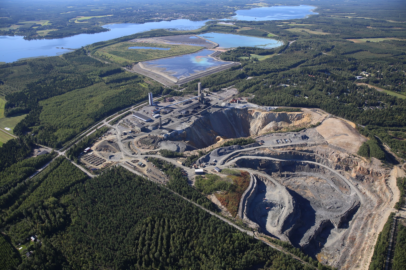
In the first three runs, over a 6 km rough and rugged terrain that extended 400 m below the surface, the system achieved a best-case 3D position error of just 0.55 m (0.009%). For context, standard single-band GNSS on the surface typically delivers 2–10 m accuracy in open-sky conditions. This system delivered significantly greater precision deep underground - with zero GNSS.
The fourth run was a continuous loop from the surface to 1.4km underground (22.9km) – the equivalent of a half-marathon in total darkness. The final position error was 15.9 m (0.07%), achieving a remarkable level of drift resistance beyond what conventional inertial systems can deliver.
The fifth run demonstrated the ability to begin and navigate a mission entirely underground. The unit, initialized without a GNSS signal, used its built-in gyrocompassing to measure the Earth's rotation and establish a precise heading. It then navigated a 1 km course with just 1 meter of error, highlighting the system's capability to start and stop operations using an underground reference point.
The Hybrid Navigation System is set for commercial release later this year. Ahead of launch, Advanced Navigation’s engineers are pushing the Hybrid Navigation System to its limits across multiple domains. Since the first announcement of the system in May, it has advanced far beyond surface-road testing to deliver ground-breaking results in the Pyhäjärvi mine in Finland, and most recently, across aerospace environments in Europe and Australia.
The hardware architecture remains unchanged, but the focus has been on evolving the software and sensor fusion algorithms. These enhancements allow the system to deliver unprecedented levels of precision and resilience, even in the most extreme and infrastructure-denied environments. The results to date have exceeded expectations, demonstrating that the Hybrid Navigation System is not just an incremental improvement, but a transformative leap in assured positioning.