While there has been a lot of technological progress in improving the means for collecting 3D information – whether it be in the form of digital twins, 3D maps captured from lidar, or through meshes and photogrammetry - the applications to view and engage with that data in an understandable way have been harder to find. For enterprise software developers like Arvizio, this challenge is top of mind.
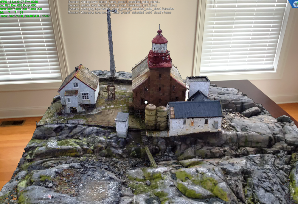
Arvizio Immerse 3D is the company’s flagship solution for 3D visualization and multi-user collaboration. Immerse 3D allows organizations to share complex 3D models and point clouds no matter where the viewers are located, enabling connected and collaborative reviews. With connections via popular web sharing tools such as Microsoft Teams, Zoom and Webex, they have been working on making tasks like design reviews more accessible, interactive and useful - even when users are apart.
To accommodate more use cases and the ever-growing prevalence of drone-captured imagery, Arvizio has recently announced the ability to incorporate drone and UAV mapped 3D models and point clouds into multi-user, multi-location augmented reality collaborative sessions using their Immerse 3D solution. The bottom line: users can now more easily visualize and interact with their UAV-captured 3D aerial photogrammetry and lidar scans.
Arvizio Immerse 3D has flexible import options including OBJ, glTF, FBX, DGN, DWG and other 3D model formats in addition to LAS, PTS, e57 and other formats for point clouds. In addition, reality capture data that covers large areas such as cities are often partitioned into multiple tiles, each of which covers a section of the scanned area. Arvizio’ s solution allows the multiple tiles to be assembled into a single scene and shared by multiple AR virtual meeting participants.
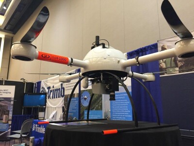
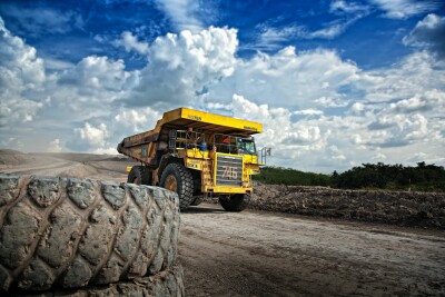
The utility of UAVs for reality capture has caught the attention of users in a variety of industries, including construction, agriculture, infrastructure, and mining, and continues to grow in adoption. The versatility of UAVs allows them to capture data quickly, and often in areas that might be difficult or hazardous for a surveyor or for someone with a laser scanner to enter. This type of data is valuable, says Jonathan Reeves, Arvizio CEO.
“Drone reality capture offers reliable, high-resolution 3D imagery of vast areas and inaccessible locations, and the value of that collected data is growing. We are providing our customers the ability to use their drone captures as a digital twin in synchronized AR visualization sessions for impactful, accurate project planning, monitoring and reviews.”
While the quantity and frequency of this type of UAV data collection are increasing, stakeholders have struggled with how to use the collected data to make decisions or inform larger project teams. Datasets produced by photogrammetry or lidar are usually difficult to visualize, have huge file sizes, and don’t readily connect to mobile or AR devices for immersive views.
Arvizio Immerse 3D aims to tackle this problem by offering wide area network (WAN) streaming and a dynamic level of detail processing. By leveraging the graphics processing units of either a desktop device or server, or even a cloud-based virtual workstation, users can stream their 3D models and point clouds over a WAN. This allows multiple users to tap into the same dataset, enabling multiple users to interact and collaborate on the same project.
While some of this streaming can be limited by mobile connection speed, the anticipated rollout of 5G networks is anticipated to accelerate this. Arvizio’s low latency streaming capabilities can take advantage of this network, further enhancing the experience, adds Reeves.
“The rollout of 5G networks will enhance the visualization experience with our ability to offer low latency streaming over the WAN capabilities.”
3D models brought into Immerse 3D can be viewed on a tabletop or walked through at a 1:1 scale using augmented reality, and includes shared markup and annotation tools to make meetings productive.
For those collecting reality capture data with UAVs, this update from Arvizio offers the potential to remove some of the most common barriers to the visualization of drone-captured data, potentially adding a powerful tool to their 3D visualization needs.