

Reality capture, particularly through laser scanning, is of course one of the areas we cover most at Geo Week News. For the most part, that reality capture is used to improve enterprise-focused workflows, whether it be for inspecting critical infrastructure or assisting projects in the AEC industry. This is far and away the most common use of reality capture technology, and the sectors to which the technology is generally marketed. However, it’s not the only place where this technology is used. Given its ability to create accurate 3D models, other industries have realized there are ways to use laser scanning and reality capture workflows to improve their own work.
That’s the focus of this article, looking at some of these examples we’ve covered at Geo Week News. Specifically, we’re going to look at how reality capture is being used by scientists to get a better understanding of our natural world. While the term “laser scanning” may sound intrusive to the layman, we know that there actually isn’t any harm in using these tools (outside of the strongest scanners, which are not used in these cases) on living things, and actually it’s significantly less intrusive than the traditional monitoring techniques that are typically used in these cases. Below, you’ll find five examples of how professionals and researchers have and are using this technology to better understand our planet.

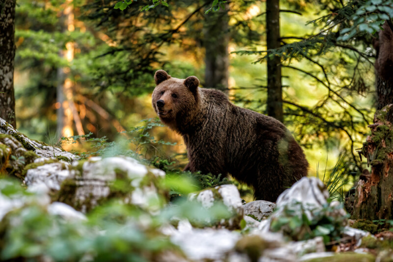
Supporting Fat Bear Week With Laser Scanning
Every fall, the internet comes together for the annual “Fat Bear Week” competition put on by Katmai National Park in Alaska. A celebration of healthy ecosystems, the bracket-style tournament allows people from around the world to go online and vote for their favorite fat bear as the animals get ready for their hibernation. However, there’s no non-intrusive way to get accurate weights – at least until they started experimenting with laser scanners. This article speaks with Joel Cusick, who heads this work, and he outlines how these scans lead to accurate (enough, anyway) weight estimates, how they even pull off the scans in the wild, and how this technique could be used for non-Fat Bear Week purposes.
3D Scanning's New Role in Coral Monitoring
As we grapple with the effects of climate change on our environment, coral reefs are one of the areas which immediately come to mind. More and more of these ecosystems are being discovered to be harmed by increasing water temperatures, a trend that doesn’t figure to reverse. Because of this, scientists all around the world are trying different methods to monitor these coral and test how they react in different environments. This article looks at one such team of researchers, led by Dr. Jessica Reichert, who are using handheld 3D scanners to more easily monitor these effects without harming the coral.
Scientists use laser scanning to show UK woodlands are a larger carbon sink than previously believed
Sustainability and carbon tracking front of mind for every industry right now, with construction being no exception. One of the key parts of any project developing on previously undeveloped land today is knowing how much carbon is being released into the atmosphere as a result of clearing an area so – ideally – that can be offset in other ways. A key part of that is knowing how much carbon is in the trees around the area. In this article, Geo Week News speaks with Dr. Kim Calders, the leader of a research team who used laser scanners in a forest in the UK to determine the biomass of local trees, and thus the carbon they are holding. Their findings were startling, to say the least.
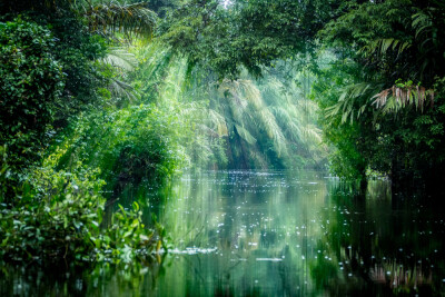
R-evolution’s Quest to Create a Path for Sponsoring Rainforest Conservation
To this point, the stories we’ve included here have exclusively talked about ground-based scanning technologies, whether it be with tripod-based scanners or handheld. To gather information about larger areas, though, it’s no surprise that imagery from above could be a big part of this work as well. That’s what is being utilized in an ongoing effort from R-evolution, a sustainability-focused branch of Hexagon. This article speaks with a pair of scientists and researchers from the group who are working on a “Green Cubes” initiative aimed at sponsoring rainforest conservation.
Norway’s Answer to the Smart City is a “Smart Forest”
Finally, we have another look at how laser scanning is being used in forestry, this time utilizing mobile lidar systems in Norway. This article focuses on an effort from the Centre for Research-Based Innovation SmartForest, which is trying to bring the nation’s forestry industry into modern times with modern technology. The article delves into how handheld mobile scanners from GeoSLAM (now part of FARO), and how deep learning models are applied to this data.


