
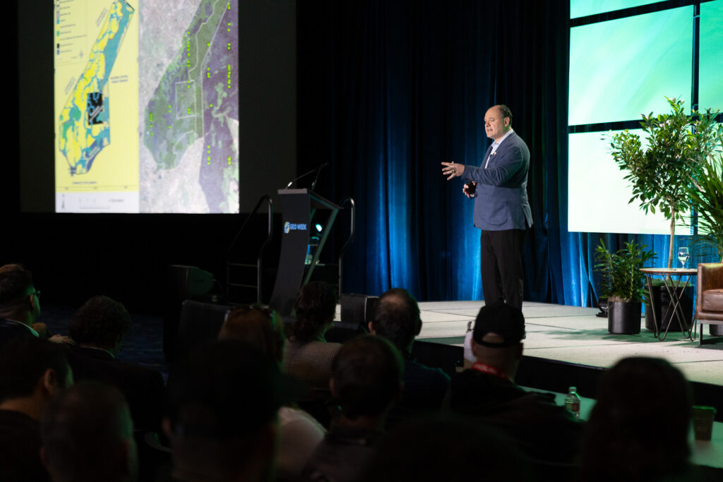
Geo Week 2026 opened with a powerful keynote on the intersection of technology and compassion. Dr. Lilian Pintea, Vice President of Conservation Science at the Jane Goodall Institute, delivered the conference’s opening keynote that explored how geospatial technologies support conservation across Africa and beyond.
For more than 25 years, Dr. Pintea has worked on applying satellite imagery, lidar, drone mapping, and AI-driven data to protect chimpanzees and their habitats, as well as various communities in Africa. Working closely with the late Dr. Jane Goodall, Dr. Pintea has helped lead technological advances in environmental stewardship through GIS.
Moderated by Geo Week’s Carla Lauter, the session arrived at a poignant moment following Dr. Goodall’s recent passing. Yet as Dr. Pintea’s presentation demonstrated, her legacy lives powerfully on: humanity reaches its full potential only when “our clever brains and our compassionate hearts are connected.”
From Binoculars to Satellites
When Jane Goodall arrived at Gombe in July 1960, her only tools were “just a pair of old binoculars, a paper and notebook.” By October, she made her groundbreaking discovery: chimpanzees make and use tools. Louis Leakey famously responded that we must now “redefine tool, redefine man, or accept chimpanzees as humans.” Over decades at Gombe Stream Research Center, Jane revealed that chimpanzees have personalities, emotions, and complex social structures, fundamentally changing how we understand our place in nature.
In the early 1980s, a small plane flight over Gombe revealed a new crisis: the park had become an island surrounded by deforested land. Conservation could no longer focus solely on park boundaries. Dr. Pintea vividly recalled his first encounter with geospatial technology 25 years ago: “I remember Jane looking at these pictures and saying, ‘wow, this is magic.’ I think we had the beginning of a very special journey.”
As a graduate student, Dr. Pintea analyzed Landsat images from 1972 and 1999, revealing that more than 60% of forest and chimpanzee habitats outside the park on the village lands in the Greater Gombe Ecosystem had disappeared. Historical aerial photos from 1958 showed continuous forest with no visible park boundary. By 2000, high-resolution imagery revealed the devastating transformation, and the toll on communities.
“We were looking at Mtanga Village and being really worried not only for chimpanzees and biodiversity, but also for people because this deforestation was increasing their vulnerability to events such as landslides and flash floods.” Tragically, a flash flood struck that very day. “When we went the second day, we found a community in distress. More than 13 people were missing, probably buried in the sediments. We found a community in despair.”
“Now We See That We Are on the Map”
In 2002, when 1-meter Ikonos imagery became available, Dr. Pintea and his team did something unconventional: “We left our labs, printed them on paper and went into the villages sharing them with local communities. I was a little bit concerned how people would perceive that we have these incredible pictures of their backyards and gardens.”
The response transformed JGI’s approach. One villager said: “Thank you for bringing these maps to the village. I can see this village is on the map and I know that the world cares.”
The evolution from data collection to community ownership involved unique and innovative techniques. By 2009, JGI became one of the first organizations in Africa to deploy Android smartphones with Open Data Kit mobile app to enable local communities to monitor their forests and wildlife. But challenges emerged: “Fifteen years ago, the first version of the touch screen was not as sensitive, and some Village Forest Monitors had difficulties using them since their fingers were too rough from working in the field. Finding internet access or power to charge smartphones in the villages was at the time a challenge as well. These problems are gone and have been resolved now with many community members having access and regularly using smartphones. “
By 2019, JGI was able to deploy forms, manage data in the cloud, and create dashboards for decision-making at multiple levels. Villages that were deforested in 2005 showed trees returning by 2014. “Places which forest monitors patrol the most experience the most tree cover recovery. The carbon content is improved. There is a decrease in fire frequency.”
The impact expanded across western Tanzania. When TACARE started in 1994, only 9% of the chimpanzee range in western Tanzania was protected. By 2020, 52% was designated as protected under various forms of village land and district local authority forest reserves.
The Story That Changed Everything
Dr. Pintea shared a powerful moment sitting with communities around maps from 2005 and 2017. Women celebrated finding mushrooms to sell. Forest monitors appreciated walking in shade. Then one woman pointed to the map: “This was my farm and it took me 20 minutes to get there. Now it takes me an hour because now it’s a forest reserve.”
Dr. Pintea asked: “Was it worth it?”
“In 2005 we had landslides. There is erosion. Now the stream has improved. A few years ago, a big flash flood almost destroyed the school. I had two children in the school at that time. I better walk an extra hour, but I know that my children are safe.”
Dr. Pintea reflected: “I realized that the true power of this technology was unlocked by TACARE, by creating that space where local communities trusted this information. They owned the process of improving their lives and technology was just a tool.”
AI Breaking Down Silos
JGI is also deploying a generative AI platform to integrate decades of fragmented data: handwritten notes, videos, bioacoustic recordings, and satellite imagery. Dr. Jane Goodall addressed AI in one of her last videos, emphasizing that “AI should support people in their stewardship to protect the land and improve their livelihoods.”
Josephine Rupia, a natural resources officer for Katavi Region, Tanzania, has been a champion in using forests change data from satellite images to inform forest management decisions. However, the district does not have a GIS officer, and she is very busy with many other responsibilities, then keeping up with GIS training. JGI has been providing access to GIS and satellite imagery maps to Josephine and other local decision makers working across two regions and four districts in western Tanzania. “Once in a while, on Sunday you get a WhatsApp message, ‘Oh Lilian, I need this map on Monday.’ Now she writes a simple prompt in Swahili using Global Nature Watch’s AI platform to retrieve the satellite data and create maps herself; no technical GIS training needed. “I got another WhatsApp message last week when I was in Tanzania. I was worried it was another urgent request, but it was thanking me that this is actually working really well.” Further, decreasing the accessibility gap between data and the people who need it most.
Clever Brains and Compassionate Hearts
Dr. Pintea’s keynote demonstrated that the most powerful applications of geospatial technology aren’t merely technical achievements, they’re tools in service of a vision where human wellbeing and environmental conservation advance together.
“I’m excited to see how these tools, which back then were the first pilot, are now operationalized and integrated into so many workflows. I’m really excited about this new ecosystem of partners who have incredible technical skills, who decided to work at this bridge between application and technology providers, building applications with us on the ground.”
Dr. Jane Goodall’s philosophy that “clever brains must work in harmony with compassionate hearts” provides the ethical foundation for JGI’s technological innovation. Geospatial tools provide transparency and accountability, but their ultimate value lies in empowering communities to protect the landscapes they share with wildlife.
As conference attendees filed out, they carried a challenge: How can the geospatial community ensure that our clever tools serve compassionate purposes?