
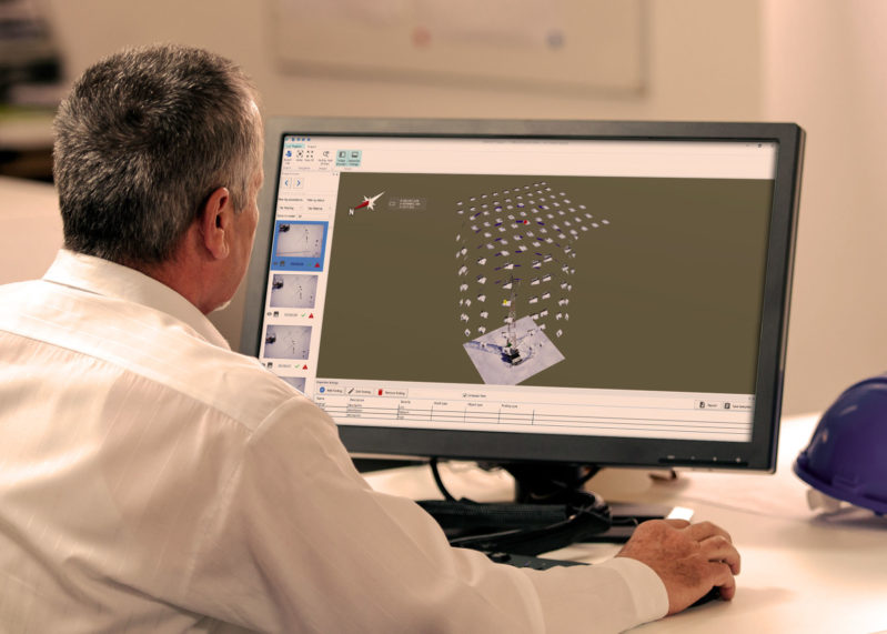
Topcon Positioning Group has announced a new application designed to ease the processing of UAV data for infrastructure inspection applications. The tool is designed to help users manage UAV data sets and select specific images for inclusion in inspection reports.
The software offers functionality for navigating large amounts of 3D photos. For instance, users can process data using ContextCapture—the photogrammetric solution offered by partner company Bentley Systems—and then access the 3D mesh and georeferenced photos in MAGNET inspect. Here, users can filter photos based on selected criteria including field of view, flag pertinent areas, annote them, and include this information with the photos in the final inspection report.
As you might expect, the software is designed to be fully compatible with Topcon’s edition of the Intel Falcon 8+ drone.
For more information, contact Topcon.


