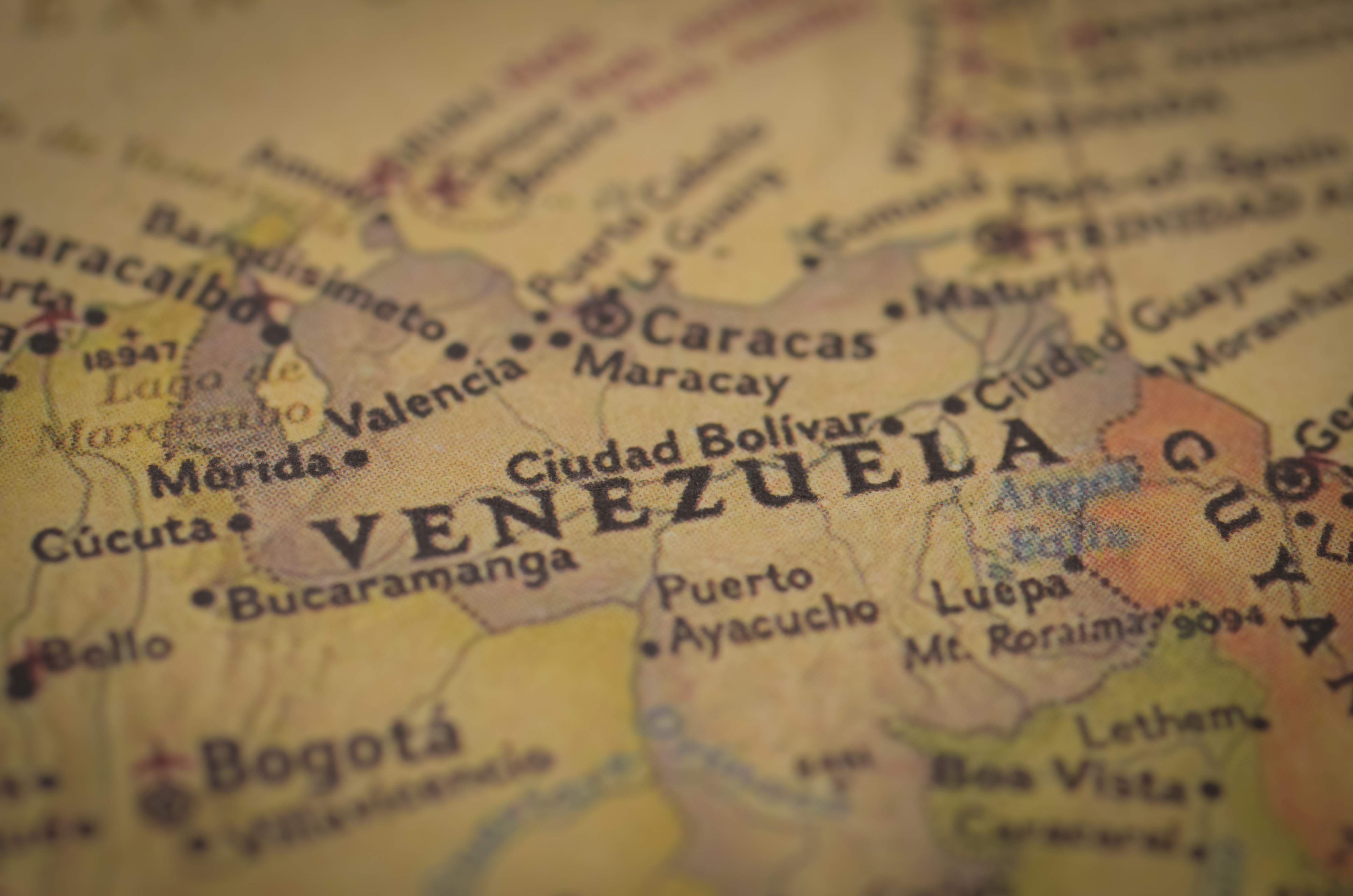
On Part 1 of this two-part series, we tried to establish a framework for the reality of cartography and geodesy in Venezuela. That was the easy part, no pun intended. Rebuilding Venezuela’s geospatial foundation is not a matter of updating a few maps or digitizing old sheets. It requires a systematic, multi‑year national program that touches every layer of the geospatial stack: geodesy, imagery, elevation, topography, land cover, hydrology, transportation, cadaster, and institutional governance. The goal is not merely to produce new maps, but to create a modern National Spatial Data Infrastructure (NSDI) that supports economic development, environmental stewardship, and transparent governance.
The first step is not technical but legislative. A strong set of laws and regulations (Federal, State, Local) must be enacted by the government to support and encourage the technical efforts that would follow.
The technical plan can be divided into six major components.
1. Geodetic Modernization
Everything begins with geodesy. Without a modern, stable, and legally recognized geodetic reference frame, no map, no matter how detailed, can be trusted.
The existing REMOS (Red de Estaciones de Monitoreo Satelital or network of satellite monitoring stations) nationwide Continuously Operating Reference Station (CORS) using all satellite navigation constellations (GNSS) network should be reviewed and evaluated and then complemented with new and reliable hardware. All these stations should have real‑time and post-processing positioning services. The existing REMOS CORS network must be expanded with additional stations, and all sites must have their coordinates rigorously updated to the correct reference epoch to support a modern dynamic datum.
The vertical reference system must be modernized through unified leveling networks and a tied to the IHRF (International Height Reference Frame) guidelines which will define the required number of measurements and points. This geodetic backbone becomes the foundation for all future mapping, surveying, and cadastral work.
2. Imagery and Elevation: Building the National Basemap
Once the geodetic framework is in place, the next step is to acquire the imagery and elevation data that will serve as the foundation for all subsequent mapping. Venezuela needs a fresh, high‑resolution view of its territory.
A national orthophoto program should combine high‑resolution satellite imagery with targeted aerial photography or drone missions in priority areas. The output is a seamless, radiometrically consistent orthophotomosaic covering the entire country, with resolution tailored to regional needs.
Elevation data requires a hybrid approach. Airborne LiDAR should be deployed over cities, river basins, and infrastructure corridors, producing high‑accuracy DEMs (Digital Elevation Models) and DSMs (Digital Surface Models). For the rest of the country, photogrammetric DEMs derived from stereo satellite imagery can be combined with global datasets to produce a consistent national elevation model. This elevation layer supports hydrology, hazard mapping, engineering design, and topographic compilation. Priority should be given to areas with immediate mining and agricultural potential.
3. New Topographic Mapping
With imagery and elevation in hand, Venezuela can begin producing a new generation of topographic maps. The core product is a 1:25,000 national topographic series, covering the entire country with consistent standards, symbology, and accuracy. Urban areas should receive 1:10,000 mapping, while generalized 1:50,000 and 1:100,000 products can be derived from the base scale. Most of these products could be acquired through satellite imagery, using the different satellite products available today.
Compilation should follow modern data models and feature specifications, with semi‑automated extraction of hydrology, landforms, and infrastructure from imagery and DEMs, supplemented by targeted field validation. Quality control must enforce strict planimetric and vertical accuracy thresholds, and all products must include complete metadata, lineage documentation, and revision histories. The output is a national vector topographic database that can feed into GIS systems, web services, and analytical tools.
4. Thematic Layers: Land, Water, Infrastructure, and Hazards
Once the topographic base is established, Venezuela can rebuild its thematic geospatial layers. Land‑use and land‑cover (LULC) mapping must be modernized using time‑series satellite imagery and machine‑learning classification, producing national datasets that can track deforestation, agricultural expansion, mining activity, and urban growth.
Hydrology must be reconstructed using elevation‑derived methods that produce consistent stream networks, watershed boundaries, and floodplain models. Transportation layers must be rebuilt from scratch, capturing highways, secondary routes, tracks, trails, pipelines, power lines, and telecom infrastructure. Administrative boundaries must be recompiled on the new datum, ensuring consistency across states, districts and municipalities. These thematic layers form the analytical backbone of environmental management, infrastructure planning, and national policy.
5. National Cadaster and Land Administration
A modern cadaster is essential for investment, taxation, land tenure security, and conflict resolution. Venezuela’s current cadastral landscape is fragmented, inconsistent, and often paper‑based. A unified, digital, georeferenced national cadaster requires legal reform to define institutional roles, recognize digital data as legally binding, and establish clear procedures for parcel definition, validation, and dispute resolution.
Parcel boundaries must be digitized from orthophotos, validated with GNSS surveys, and reconciled with existing land‑registry records. Ownership, tenure, zoning, and valuation attributes must be integrated into a national land information system. The result is a cadaster that supports secure transactions, transparent taxation, and responsible land management.
6. Institutional Strengthening and NSDI Governance
The final component is institutional. The mapping federal agency must be rebuilt into a technically competent, well‑funded agency with clear mandates: geodesy, national mapping, standards, and NSDI coordination. A multi‑agency NSDI council must oversee data standards, interoperability, and sharing across ministries. International Organization for Standardization (ISO) and Open Geospatial Consortium (OGC) standards must be adopted for metadata, data models, and web services. A national geoportal must provide open access to non‑sensitive datasets, with secure access for restricted layers.
Timeline and Overview of the Remapping Plan

Capacity building is essential. Universities, international partners, and private firms must help train a new generation of geodesists, photogrammetrists, GIS analysts, and database specialists. Modern IT infrastructure must support the entire system, from storage and backup to cloud integration and secure dissemination.
The payoff is enormous. A modern geospatial infrastructure would enable better infrastructure planning, more efficient resource management, more transparent land administration, and more effective environmental protection. It would reduce uncertainty for investors, improve governance for citizens, and give planners and policymakers the tools they need to rebuild the country. It would also restore something less tangible but equally important: the sense that Venezuela understands itself again, not through outdated sheets or political maps, but through a clear, accurate, and modern representation of its own territory.
But Who’s Going to Pay for it?
Rebuilding Venezuela’s geospatial infrastructure is not just a technical challenge; it is a financial one. A modern national mapping system requires sustained investment over a decade, touching everything from geodesy to cadaster. The price tag is significant, but so are the returns. Countries that have modernized their mapping systems consistently unlock higher investment (especially from foreign investors), reduce land conflict, accelerate infrastructure development, and strengthen environmental governance. For Venezuela, the question is not whether the country can afford to remap itself, but how it can structure the financing so that the burden is shared, the incentives align, and the system becomes self‑sustaining.
1. Geodetic Modernization
Rebuilding the national reference frame, CORS stations, leveling networks, geoid modeling, is the backbone of the entire program. The cost is modest relative to its impact, typically $40–60 million over several years, mostly in hardware and setting-up services. This component is ideally financed through multilateral development banks (MDBs), which routinely support geodetic modernization because it strengthens governance, improves infrastructure planning, and reduces disaster risk. Defense budgets can also co‑fund this layer, since accurate geodesy is essential for national security.
2. Imagery and Elevation
High‑resolution orthophotos and elevation models represent one of the largest cost centers: $130–270 million, depending on LiDAR coverage. The most realistic model is a public–private partnership (PPP), where private firms acquire satellite imagery and LiDAR and the government pays over a certain period of time. Climate funds can co‑finance elevation data because DEMs support flood modeling, carbon accounting, and forest monitoring. This blended approach reduces upfront costs and accelerates delivery.
3. Topographic Mapping
Producing a new 1:25,000 national series and 1:10,000 urban maps require $60–100 million. This is classic MDB territory: the World Bank, Interamerican Development Bank (IDB), and particularly the Development Bank for Latin America and the Caribbean (CAF) have funded similar programs across Latin America. These institutions value topographic mapping because it underpins land administration, infrastructure permitting, and environmental regulation.
4. Thematic Layers
Land‑use, hydrology, transportation, and administrative boundaries can be rebuilt for $20–40 million. Climate and environmental funds are natural partners here, since these layers support REDD+ (Reducing Emissions from Deforestation and Forest Degradation), biodiversity monitoring, and climate‑risk assessments. MDBs can complement this with technical assistance.
5. National Cadaster
The cadaster is the most expensive component, $80–150 million, but also the one most capable of paying for itself. Modernizing parcel boundaries, ownership records, and valuation systems increase tax revenue, reduces conflict, and unlocks land markets. A land‑value capture model can finance much of this work: as properties are regularized and valued correctly, the resulting revenue stream funds the cadaster itself.
6. Institutional Strengthening
Rebuilding the national mapping agency, establishing standards, and creating a national geoportal requires $20–40 million. MDBs typically fund this as part of governance reform. Long‑term sustainability comes from stable national budgeting and revenue generated by the cadaster.

Very few times in modern history, a country had the opportunity to rebuild its infrastructure from scratch. Venezuela is in such a position today; geodesists around the world who emigrated for safety and financial reasons now have the opportunity to return and use their profession to rebuild an entire nation by providing it with an accurate representation of its geography in all its complexities.
This massive effort to create a modern geodetic and cartographic model for an oil rich country is an opportunity for mapping companies, national and foreign, to provide services over an extended period.
A national map is not just a technical artifact. It is a statement of sovereignty, a tool of development, and a foundation for the future. For Venezuela, and everyone thinking about investing in it, remapping the country is not an optional exercise. It is the first step toward rebuilding everything else, and that benefits everyone.