
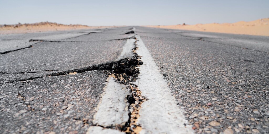
Recent earthquakes in Japan and Indonesia have shown that it’s still difficult to get an accurate overview of the effects on the built environment and its occupants immediately after the event. Such information is crucial to quickly and accurately estimate risk, damage of buildings and related human and financial losses. A new building classification model that uses OpenStreetMap building data (in addition to other open data) intends to estimate the risk of earthquakes on the built environment to fill this knowledge gap. The classification model was developed by various members of the German Research Centre for Geosciences (Potsdam, Germany) and presented at the FOSS4G event in Prizren, Kosovo last year. A video of the presentation can be found here.
Defining earthquake risk
Earthquakes are threatening many regions in the world with constantly increasing risk due to rapid urbanization and industrialization. Although it’s possible to predict where earthquakes might happen, they can occur farther away from known fault lines and damage cities. The impact of an earthquake also depends on site conditions – i.e., depending on the underground, the level of shaking as a result of an earthquake can be amplified or not. This explains why buildings in certain areas are destroyed, while others remain intact even though they are geographically close to each other.
Earthquake risk is a combination of different elements. As a whole, it takes into account the hazard itself, the built environment, as well as its vulnerability. Earthquake risk is often a static phenomenon that does not do justice to the changing nature of the built environment and how it reacts to an earthquake. For example, urbanization is an ongoing process and vulnerability of individual buildings changes over time. For a useful assessment of the impact and the consequences of earthquakes, a high level of detail is required of the built environment.
A model with individual building information worldwide
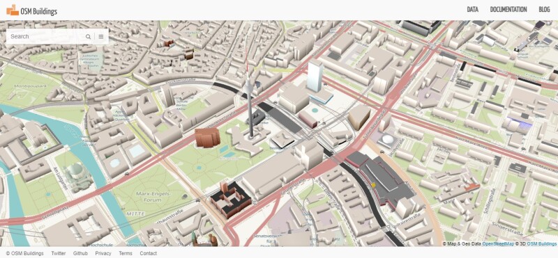
A new global approach to describe, model, and classify every building on Earth in detail helps to achieve this goal. The model presented at FOSS4G is based on the building data from OpenStreetMap and engineering information from open exposure models that are combined to a building-by-building description of the exposed assets. This model would provide information about every building worldwide regarding its exact location, size, vulnerability to earthquakes, and how many people are expected to be inside as a result of the function and building type.
The model results in a choropleth map that shows individual buildings and their metadata. To know where to expect buildings on the map, a quadtree grid with 100m x 100m tiles was placed on a world map to assign built-area polygons per grid tile. Next, a global human settlement layer data was projected on the tiles, after which the individual building footprints were added. To account for missing buildings in certain parts of the grid, a completeness assessment followed. Finally, the buildings and tiles were processed using the Rabotnik rule-based engine.
Better disaster management through better building data
Counting damaged buildings by itself is not enough to make an accurate estimation of the amount of shelters and will give the wrong numbers as it does not take into account the individual building sizes. Also, emergency management teams have to evaluate the risk of constructions that might be destroyed in case of a recurring earthquake, but were not destroyed the first time around. This means additional shelter is needed for occupants of a building that has not been destroyed by an earthquake, but not safe in case another earthquake strikes.
The building classification model presented at FOSS4G currently covers South America, Africa and Europe. Central America, South East Asia and the Middle East are areas in process, while the US and New Zealand will probably be added in 2024. To help create these building data, the OSM community can contribute building data in the form of detailed footprints, occupancy, or even simple 3D information.


