
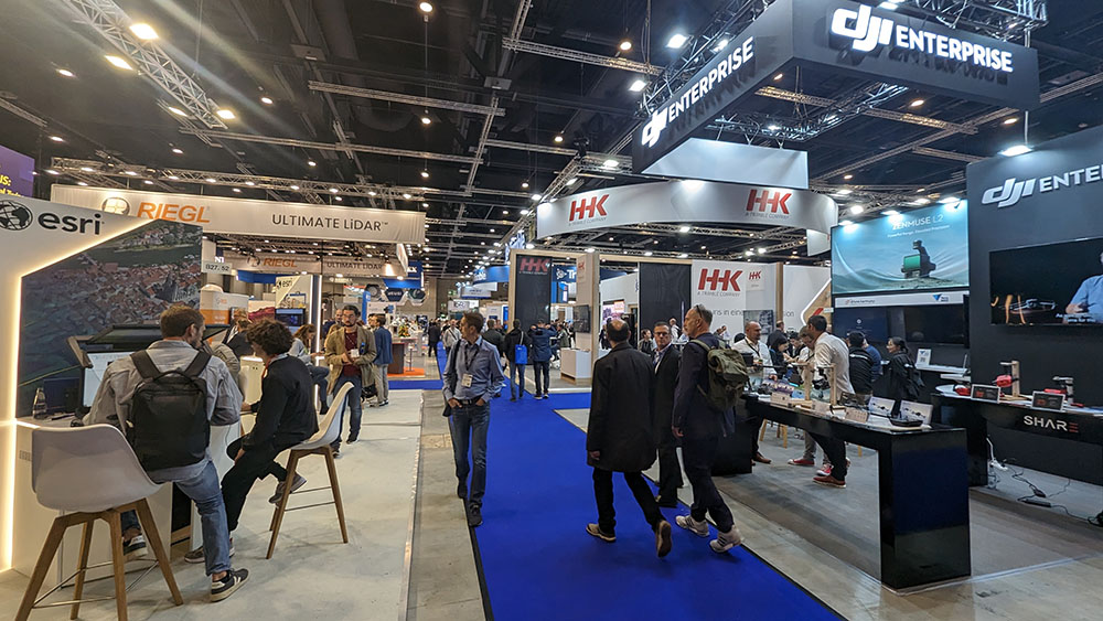
While Intergeo is a great place to hear what industry visionaries like Jack Dangermond are thinking about what's next, explore how Earth Observation technologies need to be considered in the future, it's also a place for tools and innovations that are making a difference today.
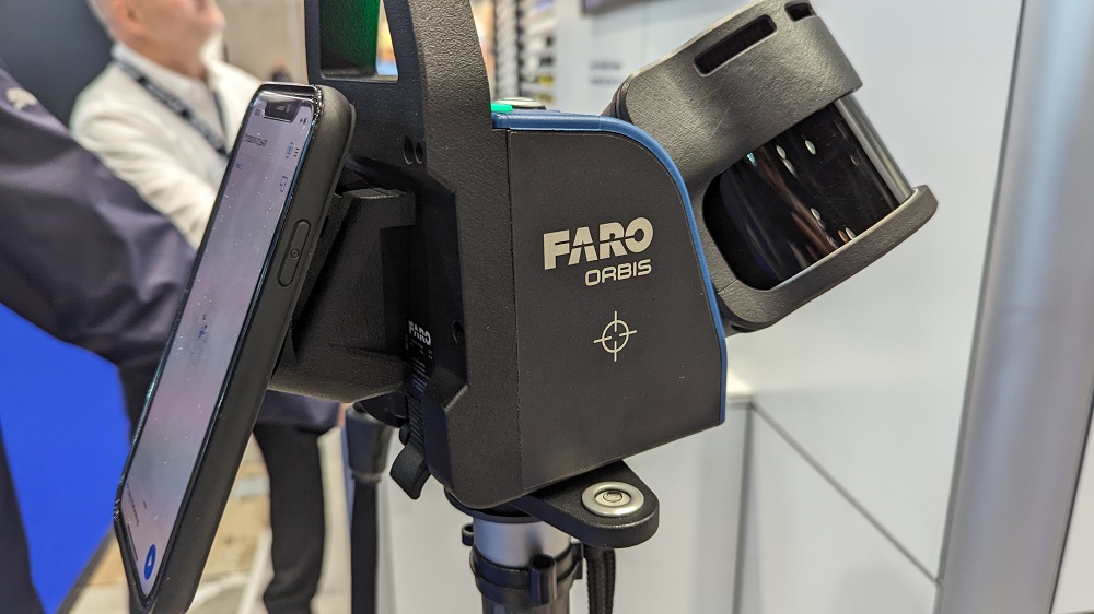
FARO Orbis
Numerous companies utilized the event to debut new products that represent the next generation of something already in the market along with brand new solutions. One of those brand new products is the FARO Orbis. Designed to be a mobile and stationary solution in one device, providing users with a best-of-both worlds option. It has the means to capture highly accurate data, at the speed users walk, with native stationary scanning capacity that allows users to map complex areas.
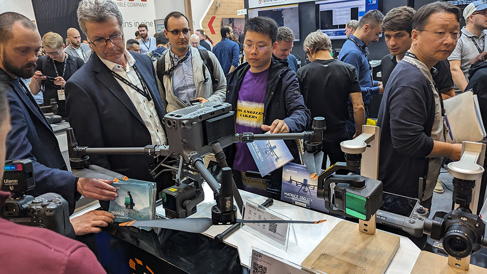
DJI Zenmuse L2
DJI revealed the Zenmuse L2 on the opening day of Intergeo in front of a large audience that was eagerly awaiting the news. Their self-developed IMU system features a 4/3 CMOS RGB camera. Designed to be a high-precision aerial lidar system that enables drones to collect more accurate data, the L2 makes notable improvements on the capabilities of the L1.
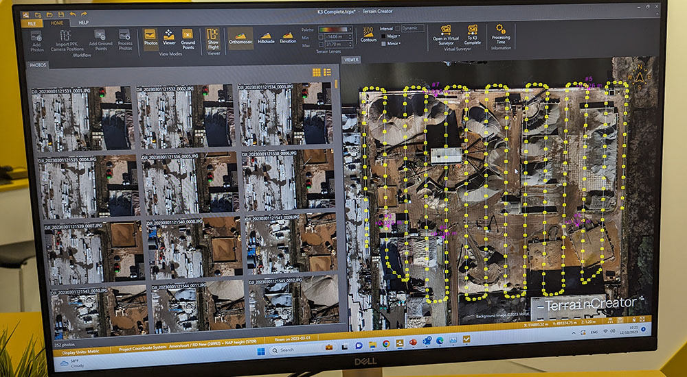
Virtual Surveyor Terrain Creator
Virtual Surveyor released an upgrade to their popular solution that provides a seamless end-to-end drone survey workflow. The new Terrain Creator app photogrammetrically processes drone photos to generate survey-grade terrains which then transfer seamlessly into the traditional Virtual Surveyor workspace where the real survey work can be performed.
"We wanted to take out the complexity of what has been a challenging process," Tom Op ‘t Eyndt, Virtual Surveyor CEO, told Geo Week News. "Our subscription now provides you with two desktop apps in one at no additional charge."
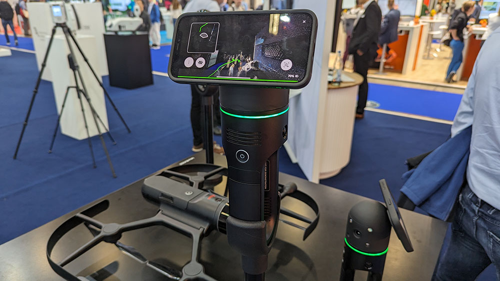
Leica BLK2GO PULSE
The Leica BLK2GO PULSE is a new first-person laser scanner from Hexagon that combines their innovative lidar sensor technology with the BLK2GO form factor. Notable features include instant data availability and an intuitive companion app that can be controlled with a users smartphone, the new product can deliver full-colour 3D point clouds instantly in the field.
Quantum Systems and Sony Integration
Quantum Systems has collaborated with Sony to integrate the ILX-LR1 into the Trinity Pro UAV. The Sony ILX-LR1 camera has capabilities that cater to a wide range of commercial mapping applications which are supported by the Trinity Pro that can survey up to 491 hectares based on 90 minutes flight time and 100 meters above ground level flight altitude. Many have transitioned from 42-megapixel cameras to meet 61-megapixel standards, and this integration further supports their work to conduct faster surveys over larger areas with higher data accuracy.
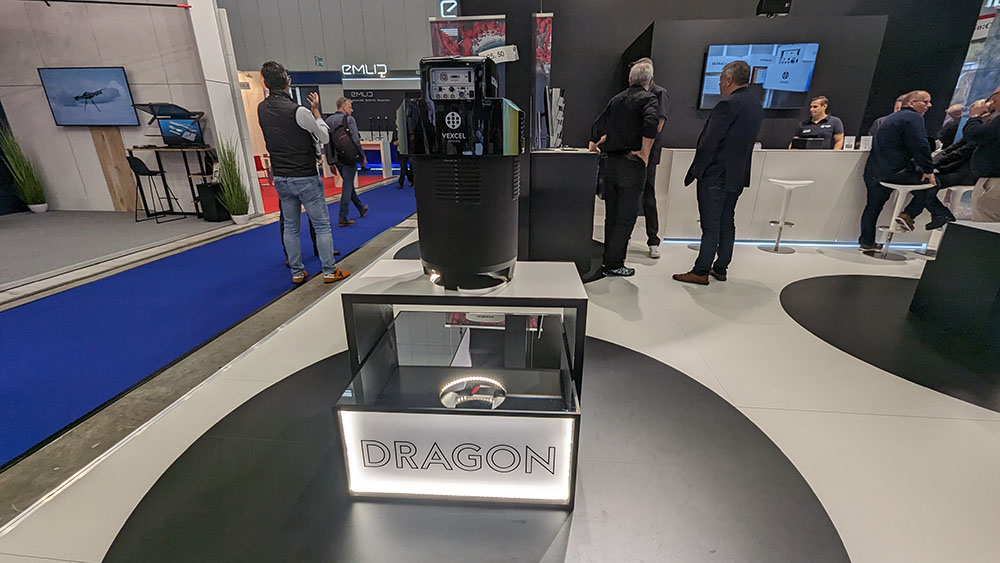
Vexcel UltraCam Dragon 4.1
UltraCam Dragon 4.1 produces high-resolution nadir and oblique aerial imagery enriched with precise elevation data from a powerful 2.4 MHz LiDAR scanner for in-depth data insight into complex urban environments. UltraCam Dragon 4.1 from Vexcel Imaging was revealed at Intergeo. This hybrid aerial mapping system produces high-resolution nadir and oblique aerial imagery enriched with precise elevation data from a powerful 2.4 MHz LiDAR scanner for in-depth data insight into complex urban environments.
Those are just a few highlights, as there were plenty more products and innovations were highlighted across the Intergeo show floor. See more from the show here.


