
When you were in school, did you ever take a class titled "Explaining 101?" Or receive instruction on how to enable better understanding?
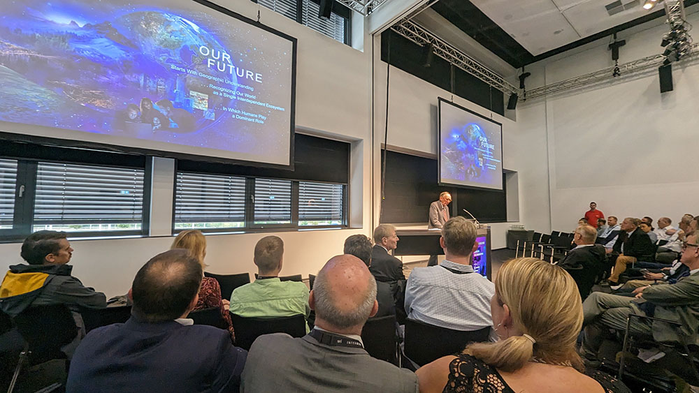
Those questions were posed by Esri CEO Jack Dangermond at the opening keynote of Intergeo 2023, as he illustrated the challenges that are inherently linked to conveying what's at stake with issues like climate change. Problems that stem from a neglected environment and living out of balance with nature aren't easily explained or understood on a very basic level, Dangermond explained, which creates additional complications when it comes to finding solutions. He acknowledged these difficulties but also outlined why Intergeo attendees are in an especially great place to resolve them.
"As geospatial professionals, you own the language that can provide insight and understanding through maps and geography," Dangermond told the crowd.
"Teaching a class in 'explaining' is the essence of what you can do with the visuals that we can create and distribute today."
As a reference of that kind of power, Dangermond mentioned the COVID-19 dashboard that nearly half the population of the world has seen at one time or another. This single illustration provides the type of understanding around the reach and scope of the pandemic far more than any stats or narratives. It's an illustration of what it means to take geographic knowledge and compel action with a "geographic approach" that Dangermond has previously spoken about.
Taking the geographic approach to sustainability enables the integration of information and science. There's no other foundational system that brings these elements together in the same way, and the tools that doing so has enabled are as countless as they are powerful.
It's easy to talk about these concepts at an especially high level and in the abstract, but Dangermond called out the practical implication of this approach. Using interconnected maps, the city of Boston has created a living digital twin that allows stakeholders to better understand the infrastructure, which includes everything from the buildings to sewers, helping make decisions about upkeep and new construction. These types of visuals are being further refined with innovations in AI, which Dangermond mentioned as something that will transform users' expectations on every level.
The interconnecting of systems and records is also allowing oil companies to better assess new sustainability efforts, with maps driving a new understanding of the present and future. These practical applications are just a quick sense of what's possible with these tools, with users in various industries seeing the difference they can enable. Those differences are the type of results that Dangermond called out as being something that will resonate in the short and long term.
"Geospatial professionals have an important role to play in creating a sustainable world," Dangermond told the crowd.
"Our future starts with a better geographic understanding and we have to do it right now."


