LizardTech has received a U.S. patent for the compression of Lidar point clouds with its compressing software algorithms.
Founded in 1992, LizardTech works on delivering innovative software products for managing, accessing, and distributing massive, high-resolution geospatial data, including lidar data and aerial and satellite imagery. GeoExpress is LizardTech’s flagship software product originally created to enable geospatial professionals to manipulate digital satellite/aerial image and losslessly compress them to industry-standard MrSID or JPEG2000 files.
Back in 2009, the company developed a lidar compression technology by leveraging the wavelet transformation algorithms used to compress satellite and aerial image data sets into MrSID formats. It was initially released as a stand-alone LizardTech product called lidar Compressor and then integrated into GeoExpress in 2015.
Last year, LizardTech unveiled a new GeoExpress feature: lossless compression of Harris Geiger-Mode lidar Data from its native Binary Point File (BPF) format directly to MrSID files. This sped up processing times by eliminating the intermediary and time-consuming step of converting to LAS, which was not a lossless compression process.
“Direct conversion from BPF enables GeoExpress clients to fully leverage the rich information content of Geiger-Mode lidar data sets,” said Terry Ryan, LizardTech Federal Government Sales Manager. “In addition, the compressed files are easier to process, archive and share.”
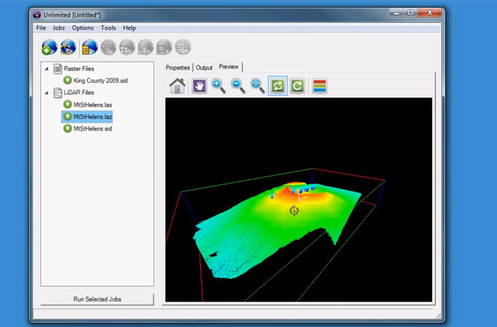
At this stage, GeoExpress is capable of compressing lidar data to MrSID as well as LAZ formats with no loss of data, saving up to 75% on storage.
John Hayes, the LizardTech Senior Engineer who received the patent, explained the value of this compression. “Lidar systems,” he said, “capture terabytes of data containing rich information that can be difficult to exploit due to the difficulty processing such massive files.”
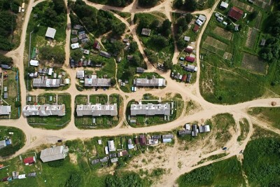
With how fast lidar technology advances, and how important it is for many different industries, lidar compression software is becoming vital.
“Lasers are even being mounted on earth moving equipment at construction sites for real-time capture of grading progress so that engineering managers can make on-the-spot decisions,” said Toby Martin, Vice President of Development & Strategy at Extensis. “Lidar compression makes this possible and is revolutionizing workflows in the Architecture Engineering and Construction (AEC) industry.”
Licensing of LizardTech’s Lidar compression algorithms is possible through LizardTech SDK, to incorporate the technology into third-party geospatial software solutions.