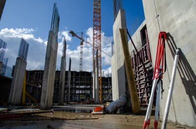
To solve or investigate planet-sized problems - like deforestation, climate change impacts, land use changes and more - you need a lot of data.
The first hurdle is the collection of datasets both at a resolution that is accurate enough to observe those phenomena and impacts and collected frequently enough to pinpoint changes over time. Remote sensing has benefitted from the explosion of satellites and data collection platforms now available, and the technological advances that have shortened the time from their development to launch. It is now possible to see our planet in more detail than ever before.
Hand in hand with these advances have been those in the processing and data management side, with machine learning and cloud computing enabling new ways of looking at huge, complex datasets that were not previously possible.
The intersection of these two advances - higher temporal and spatial resolution with better computer processing - is opening up a golden age of remote sensing, which means that companies like Planet can now develop tools to better understand Earth processes and our impacts on the environment. Even more importantly, these new insights can lead to actionable information.
Tara O’Shea, Director of Forest Programs at Planet, will join Geo Week to present a keynote that touches upon those advances, and what new challenges the data is helping us understand. In her upcoming keynote, O’Shea will talk about how global satellite data collected at high resolution and high frequency can be used to examine emerging environmental and climate challenges.
 “There’s a mantra here at Planet: You can’t fix what you can’t see, and you can’t manage what you can’t measure. I think there’s nowhere that challenge is more true than in global forests.”
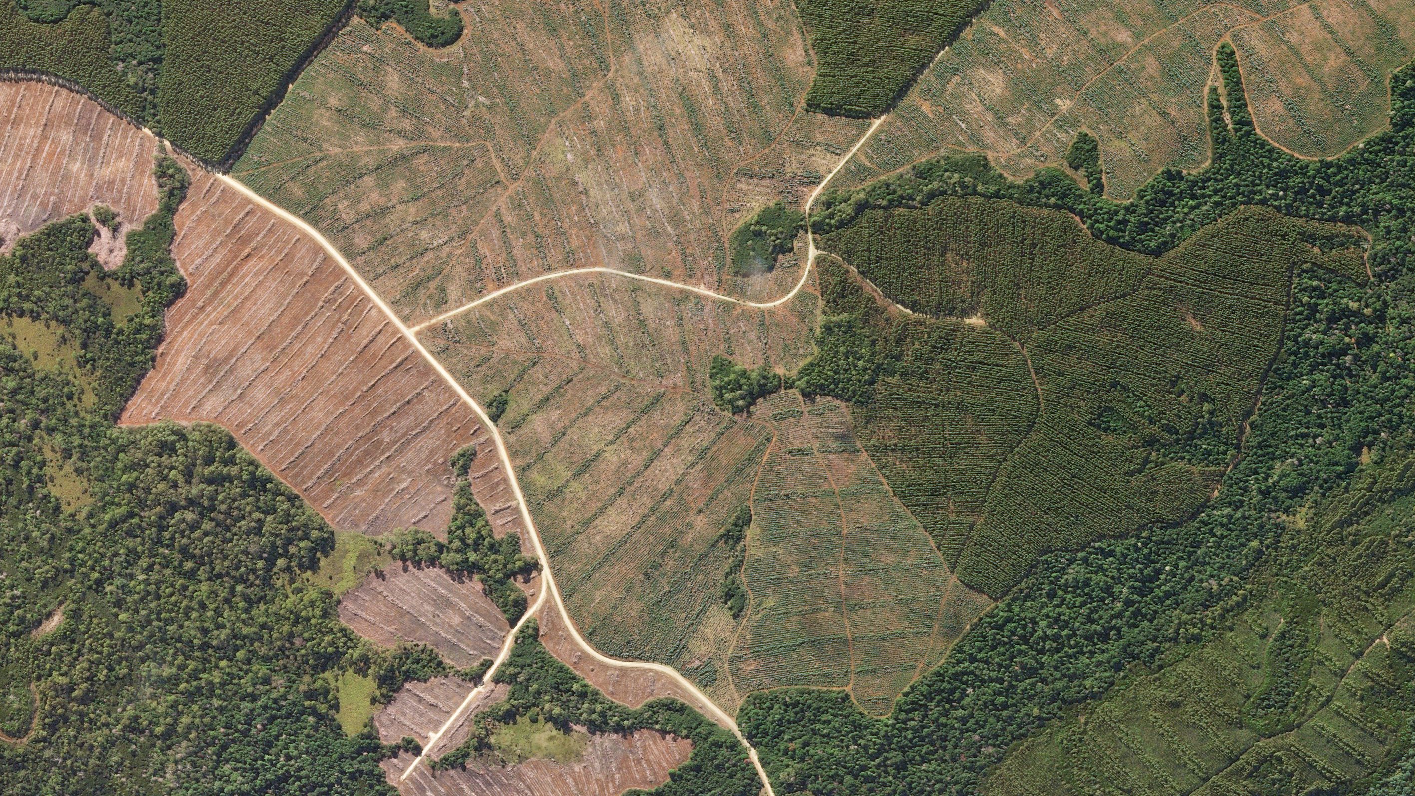
While researchers have been using satellite images and data to classify land areas for some time, the resolution was not specific enough and not repeated often enough to see short-term or even seasonal scale changes, says O’Shea.
“I think it comes as no surprise that land use is changing at much finer resolutions and much faster paces than that. Just having the capability to see everywhere, every day, at three meters resolution, and combine that with machine learning and cloud computing - the capabilities to detect and classify forests through the pace and scale at which change happens - is a huge breakthrough.”
Forests store carbon in their biomass, and when forests are cut down that carbon is again released into the atmosphere. It is estimated that around 20% of global greenhouse gas emissions originate from deforestation. Even that statistic, however, is an estimate that was based on lower resolution data - so honing in on the extent of forest conversion can provide much better insights into carbon inputs and outputs globally.
“While there are all these advances in remote sensing, optical lidar, SAR – there are also parallel advances in cloud computing and machine learning that are enabling these datasets to talk to each other in new ways.”
Combined with other sensors and with advanced analytical tools, questions about climate and human impacts are beginning to be explored.
If you’re interested in hearing more about how advanced data processing and imagery are being applied to real-world problems, use the link below to register to see the keynote live on February 7th.
Register Now Learn More