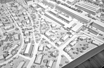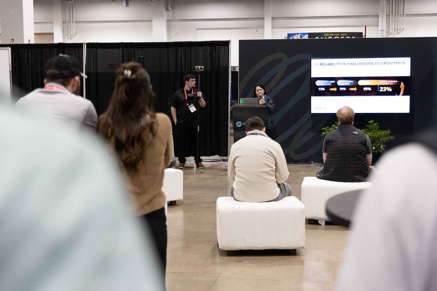
One of the draws of the new Demonstration Zone at Geo Week was the chance to see equipment in action rather than on a slide. Leica Geosystems made good use of the format, walking attendees through three platforms in its autonomous scanning lineup and demonstrating how the technology performs across ground, aerial, and robotic workflows.
The throughline across all three demonstrations was autonomy. Each platform is designed to reduce the specialized expertise traditionally required to capture and process 3D scan data, whether that means a handheld scanner that tells you in real time if you've missed a spot, a drone that handles its own navigation once you've drawn a polygon on an iPad, or a robot that can plan a mission from a BIM model before it ever enters a space. The goal in each case is to make high-quality spatial data capture faster, safer, and more accessible across a wider range of users and environments.
All three platforms feed into Leica's Cyclone software suite, giving teams a common processing and collaboration environment regardless of which capture method was used.
Here's a closer look at what each platform does and what the demos revealed.

BLK2GO: Ground-Based Mobile Scanning
The BLK2GO represents a new approach to laser scanning, utilizing a unique dual-SLAM operation. The system combines visual SLAM, using embedded cameras for high-end computer vision to track objects in real-time, with lidar-based geometric feedback. This approach provides more accurate localization data as users walk through spaces. Panoramic cameras colorize the resulting point cloud while a dual-axis lidar at the top of the unit handles geometry capture. One practical detail worth noting: users get real-time feedback on coverage during the scan, which removes the guesswork around whether an area has been missed.

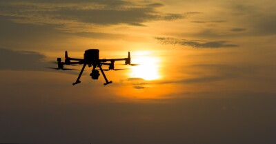
BLK2FLY: Autonomous Drone Scanning
Taking the technology airborne, the BLK2FLY drone integrates the same lidar module and camera array into an autonomous flying platform. The drone runs lidar SLAM, visual SLAM, and onboard RTK GNSS simultaneously, enabling both indoor and outdoor flight. Uniquely, the drone creates a map of its environment while using that same map for flight navigation and obstacle avoidance. The forward-facing lidar allows close-up capture of objects of interest while maintaining a full 360-degree field of view. Pilots control the drone through an iPad app, creating simple flight plans by drawing polygons around areas of interest, the drone handles the rest autonomously.

BLK ARC: Robotic Integration
The BLK ARC is a lidar scanning module designed for integration with robotic platforms. Beyond simply carrying the scanner, robots equipped with BLK ARC can use the generated maps for their own navigation, understanding their location within warehouses, data centers, or other large facilities. This enables offline mission planning, robots can be programmed to navigate spaces before physically entering them, using existing BIM models or previous scans. The technology addresses safety concerns, enables repetitive tasks, and provides quick decision-making capabilities in environments where human access may be limited or dangerous.
Processing and Collaboration
Data from all three platforms moves into Leica's Cyclone software suite, which supports both local processing for intensive analysis and classification work, and cloud-based workflows for team collaboration and broader accessibility. The two approaches complement each other, with cloud platforms enabling distributed teamwork while local processing handles intensive analysis tasks.
A Glimpse at Where Scanning Is Heading
What the Leica demo zone made clear is that the direction of travel in 3D scanning is toward systems that handle more of the complexity on their own. The operator's role is shifting from managing the technical details of capture to simply defining the area of interest and letting the platform work. That has real implications for how firms think about staffing, training, and the types of projects they can take on.
The integration across ground, aerial, and robotic platforms into a single software environment is also worth paying attention to. As projects grow more complex and data from multiple capture methods needs to work together, having a common processing pipeline becomes less of a convenience and more of an operational necessity.