
Lack of accurate mapping, geospatial info of U.S. shoreline threatens economy, environment
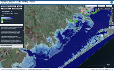
Bipartisan legislation introduced in the U.S. House of Representatives Thursday seeks to authorize a “Digital Coast” program, a national mapping effort of coastal waters using bathymetric lidar and satellite and aerial imagery, among other tools.
More than half of all Americans, 153 million people, currently live on or near a coast and an additional 12 million are expected to move to the coasts over the next decade.
Yet despite this population density and economic magnet, much of the 95,000 miles of U.S. shoreline lack current, accurate mapping and geospatial information jeopardizing the nation’s emergency preparedness and response, coastal assessments, coastal environment, and economic growth – and what does exist pre-dates the 1970s.
Of America’s major ports, harbors and shipping areas, there is a 26,000 square nautical mile backlog that will take some 15 years to accurately update with current maps. Given recent natural disasters along our coastlines, including Hurricane’s Sandy and Katrina and manmade events such as the Gulf Coast Oil Spill, the need for spatial data on our coast.
Sponsored by U.S. Representatives C.A. “Dutch” Ruppersberger (D-Md.) and Don Young (R-Alaska), H.R. 1382, the Digital Coast Act of 2013 would authorize the National Oceanic and Atmospheric Administration (NOAA) to oversee the collection and creation of quality non-navigation feature data sets to include: shoreline change, land use and land cover maps, benthic habitat mapping, terrestrial topography and submerged aquatic vegetation.
The bill was applauded by MAPPS, the national association of private sector geospatial firms.
“The Digital Coast Act is needed to realize the concept of a digital and geospatially enabled view of the nation’s coastlines as recommended by the National Academy of Sciences (NAS),” said MAPPS Executive Director John Palatiello.
He said the legislation also addresses issues raised by the U.S. Oceans Commission and the Pew Commission that highlight the “need for surveying, charting, remote sensing, and geospatial data of America’s coasts, harbors, ports, shorelines, and ocean resources critical to the nation’s most basic economic and recreational activities, and to smartly conserve a fragile environment.”
The “Digital Coast” is a geospatially enabled program to:
- improve coordination and support work with stakeholders to identify geospatial priorities
- improve coordination of coastal mapping and management activities
- use standards and standardized methods for data acquisition, processing, and distribution to ensure broadest utility of data
- promote best practices when applying geospatial data for coastal decision making
The bill has been referred to the House Committee on Natural Resources, where Congressman Young is a member and former chairman.
MAPPS members are engaged in satellite and airborne remote sensing, surveying, photogrammetry, aerial photography, LIDAR, hydrography, bathymetry, charting, aerial and satellite image processing, GPS, and GIS data collection and conversion services.


