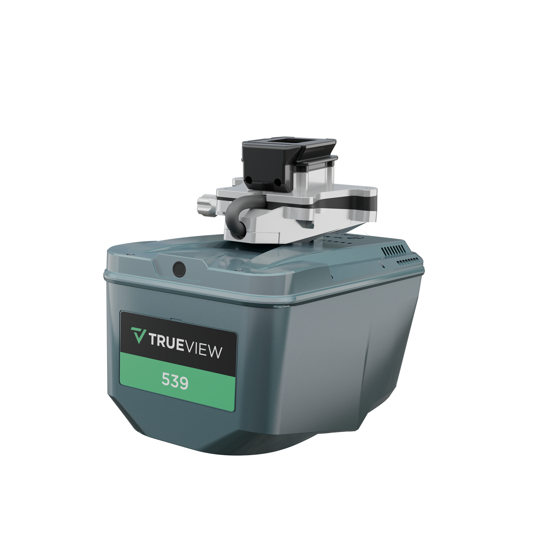
GeoCue released a new lidar and imagery system the TrueView 539, that produces high precision, high accuracy data. In the same way that the TrueView 540 brought high-end data to the mid-range price point, the TV539 brings high-end lidar data to a price point between the mid-range sensors, and the entry level sensors. It really targets the customers who already own an entry level system, but are looking to take the next step.
The UAV lidar market has changed dramatically since GeoCue released its first UAV lidar sensor in 2019. The quality of lidar sensors has increased, while the price has steadily decreased, explains Chad Dillard: “customers are now looking for high precision, high accuracy lidar and camera systems that are integrated with point cloud processing software. Being able to offer our UAV Lidar systems with GeoCue’s point cloud processing software, LP360, gives us a unique position in the market, and we are able to see both sides of the equation, which refers to data collection, and processing.”
System comparison
The TrueView 539 delivers engineering-grade accuracy and precision in a lightweight, more accessible package. For UAV lidar systems, the price typically increases with the quality of the data it can produce, says Dillard:
“If you wanted access to high-quality data, you needed to pay a higher price. The TrueView 539 changes that dynamic in favor of the customer. The data quality-to-price ratio is much better, so we think it will make this level of data more accessible.”
The Trueview 539 and Trueview 540 are similar in a lot of ways, like the scan rate and range. Both systems can scan at 500KHz, with an operating range comfortably above the 400ft FAA max. The TrueView 539 supports 6 returns, while the TrueView 540 supports up to 8. More returns usually mean better penetration through tree canopy, and more points on the ground beneath the canopy. The other difference is the camera, adds Dillard: “The TrueView 539 has a 26MP camera, while the TrueView 540 has a 45MP camera. Determining which camera you need will help you decide which sensor is best for you”.
Software add-ons
LP360 Drone is GeoCue’s core software product, and the company has optional add-on modules depending on the customer’s needs. Strip Align for LP360 Drone can correct dynamic heading errors, while the Business Intelligence module offers more advanced feature extraction. The modular nature of LP360 Drone lets users pick and choose which tools you need for your operation, without purchasing tools they don’t need. A perpetual license of LP360 Drone is included with a TrueView 539 purchase, after which additional modules can be added if necessary.