In the geospatial industry, there’s a long history of the pursuit of accuracy, professional rigor, and adaptability. As unscrewed aerial vehicles (UAVs) emerge and mature as an industry, the uses for them in the geospatial and 3D realm grow as well. But, as many of us are familiar with – it’s not always about what the shiny new tool is, but rather how it’s used, how it’s set up, and how it’s tested. At this year’s Commercial UAV Expo in Las Vegas (held last week), sessions and keynotes served as a reminder of how far the industry has come, and where attention and care should be applied in workflows and applications. After the conference, I came away with a few thoughts on how these tools and manufacturers are doing.
Surveying Still Demands Mastery and AI Isn’t a Cure-All
AI and automation were omnipresent topics, from keynote speeches to exhibit booths and software demos. Yet surveyors are often the first to tell you that intelligent workflows can improve efficiency but they don’t necessarily eliminate complexity. There were two sessions specifically addressing this for surveyors – one aimed at sharing best practices, and the other the challenges and lessons learned from failures. Many of these presentations across those sessions illustrated that there’s still no “magic button” that you can press to fly a drone and get a perfect lidar scan, and there’s no guarantee that your data will be what you need if you don’t prepare adequately. The good news, though, is that I heard variations on the same theme several times: Understand what deliverables and information your clients actually need before you do the job. Sometimes the drone you have might be the perfect fit for a job. But don’t assume that every job necessarily needs a drone just because you have one in your toolbox.
Regulations Are Shifting — Keeping Up Isn’t Optional
The FAA’s Part 108 Notice of Proposed Rulemaking (NPRM) for BVLOS operations dominated regulatory conversations – which is no surprise since it was released a week and a half prior to the conference. With the expo being the first major industry gathering since its release, attendees seized the chance to understand what’s ahead. Panels and roundtables dug into implications—especially around how the rule shifts compliance from individual pilots toward organizational airworthiness, and the unclear path for existing Part 107 waiver holders. Presenters encouraged anyone utilizing drones for work to prepare comment contributions before the NPRM’s early-October window closes. Staying informed and helping to shape the outcome is critical.
Lidar makers are taking notice of the UAV market
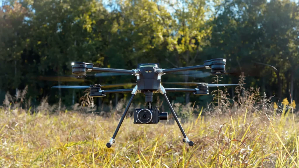
Manufacturers are investing in high-quality lidar systems that are both affordable and adaptable. From a Geo Week point of view, one of the new product highlights was the release of GeoCue’s TrueView 539. The lightweight, engineering-grade LiDAR and imaging payload built on the TrueView 540 platform offers high-accuracy performance in a more accessible, under-$45,000 package. This signals, to me, that manufacturers like GeoCue are beginning to take UAV platforms seriously – they’d like to get more people using lidar on their drones, and providing smaller, lighter payloads can potentially accomplish that.
Roundtables Create Opportunity for Connection
One of the most consistent bits of feedback that I heard from attendees year was about the Expo’s expanded roundtable format, designed for peer-to-peer, profession-forward discussions—not just presentations. Topics ranged from scaling drone businesses and survey best practices to next-gen tech and regulatory implications, and brought together people with similar challenges, innovative solutions, and provided a chance for people to really dig into conversations instead of just exchanging a few words during a coffee break. These sessions broke down siloes: surveyors could exchange real-world experiences, refine workflows, and align expectations across vendors, regulators, and fellow practitioners. The collaborative atmosphere seemed to underscore a larger industry need for greater professionalism, mutual understanding, and shared learning. (Spoiler alert: We are going to be bringing a similar roundtable format to Geo Week this February, stay tuned).