
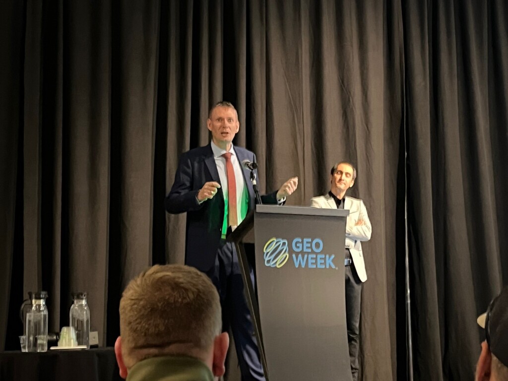
Geo Week 2024 kicked off on Sunday, with the annual Product Preview presentations starting the event in full force. The presentations were split between two rooms, with each participating company getting 15 minutes to discuss their newest products and innovations. The products on display during these presentations ranged from hardware used to map large areas, payloads for drone-enabled surveying and mapping projects, and software to help process this data and deliver data in a presentable fashion. Over the next three days, we’ll be looking at what each of these companies presented.
GeoCue
During the Product Preview session, GeoCue’s Director Sales Manager Chad Dillard highlighted upgrades to his company’s TrueView line of products. He explained that his company responded to market demand for improved image quality by upgrading its compact TrueView 515 3D LiDAR/Camera system with 26 MP cameras for better image definition. Similarly, GeoCue has made updates to another of its 3D imaging systems, the TrueView 535. The system now comes a third lidar beam for improved capture detail, two 26 MP oblique cameras, and a third 26 MP nadir camera for better use in photogrammetry. Dillard also discussed improvements to GeoCue’s LP360 software for drone and geospatial applications.
Microdrones
Chuck Snow of Microdrones showcased his company’s compact, survey-grade, lidar drone called the EasyOne. Containing a number of innovative features, including a “Real Time Terrain Follow” option for enhanced accuracy and access to the company’s LP360 software for clear, accurate lidar data, the drone is ideal for a range of use cases. What’s more, Snow explained, purchasers of the system get the drone, payload, controller, and battery all in one compact 35lb. box.
WISPR Systems
Boasting multiple payload options, WISPR Systems’ SkyScout drone is ideal for inspection work, public safety, and other applications. As WISPR’s John McArthur explained, the SkyScout is a small form factor drone that weighs only 4.7lbs, making it easy to transport, and it can fly from between 26 and 30 minutes. SkyScout operators can also benefit from the WISPR Ground Control system, which offers advanced navigation tools, real-time data analytics, and user-friendly interfaces.
Phase One
A world leader in the manufacture of imaging products, Phase One has been operating in the geospatial space for some ten years. During the Product Preview session, the company’s Steve Cooper and Mohsen Miri described Phase One’s broad product portfolio, which includes cameras used for measurement, infrastructure, inspections, mapping, and more. The company leaders emphasized the ways their products integrate with other systems, pointing to the capabilities of its iX software suite and its ability to adapt payloads for inspections and surveying to use with UAVs and other vehicles.
GeoCue
In their second presentation of the day, GeoCue’s Darrick Wagg spoke to the software side of the company’s work. Over the course of his 15 minutes, Wagg first gave an outline of GeoCue’s software offerings, mainly focusing on LP360, which is used to easily extract key information and generate deliverables from lidar data. He also talked about some of the new offerings that can be expected later this month, starting with simply a focus on greater efficiency for workflows. More specifically, Wagg noted that LP360 will be adding more generic hardware integration to ensure work can be done with most UAVs, as well as affine transform raster and tree segmentation capabilities.
3Dsurvey
Product manager Marko Mesaric made 3Dsurvey’s presentation, speaking about all of the capabilities of their photogrammetry processing software. Mesaric made sure to note from the jump that they are not coming in as outsiders, but rather as former surveyors who know firsthand what the problems for the industry’s professionals really are. His presentation included a rundown of many of 3Dsurvey’s features, including their volume calculation capabilities, profile lines and cross sections, special X-Ray capabilities to identify borders of a building, and videogrammetry tools to take frames from short videos and turn those into photogrammetric models. At the end, he also introduced 3Dsurvey Cloud, which allows for easy sharing and collaboration over the cloud.
DJI
Kyle Miller presented on two new offerings from DJI Enterprise, speaking about DJI Modify and DJI TerraAPI. The former was released earlier this year and is the company’s first offering for intelligent 3D model editing. Miller showed off how the software is capable of cleaning up photogrammetric models, filling in holes and removing what Miller refers to as “floaters” that often result from reflective surfaces. He also announced an upcoming cloud sharing capability that can be expected in Q2 of this year. Miller also introduced the room to DJI TerraAPI, which is still in beta and is a set of API solutions that deploys the Terra engine on a cloud-based server.


