

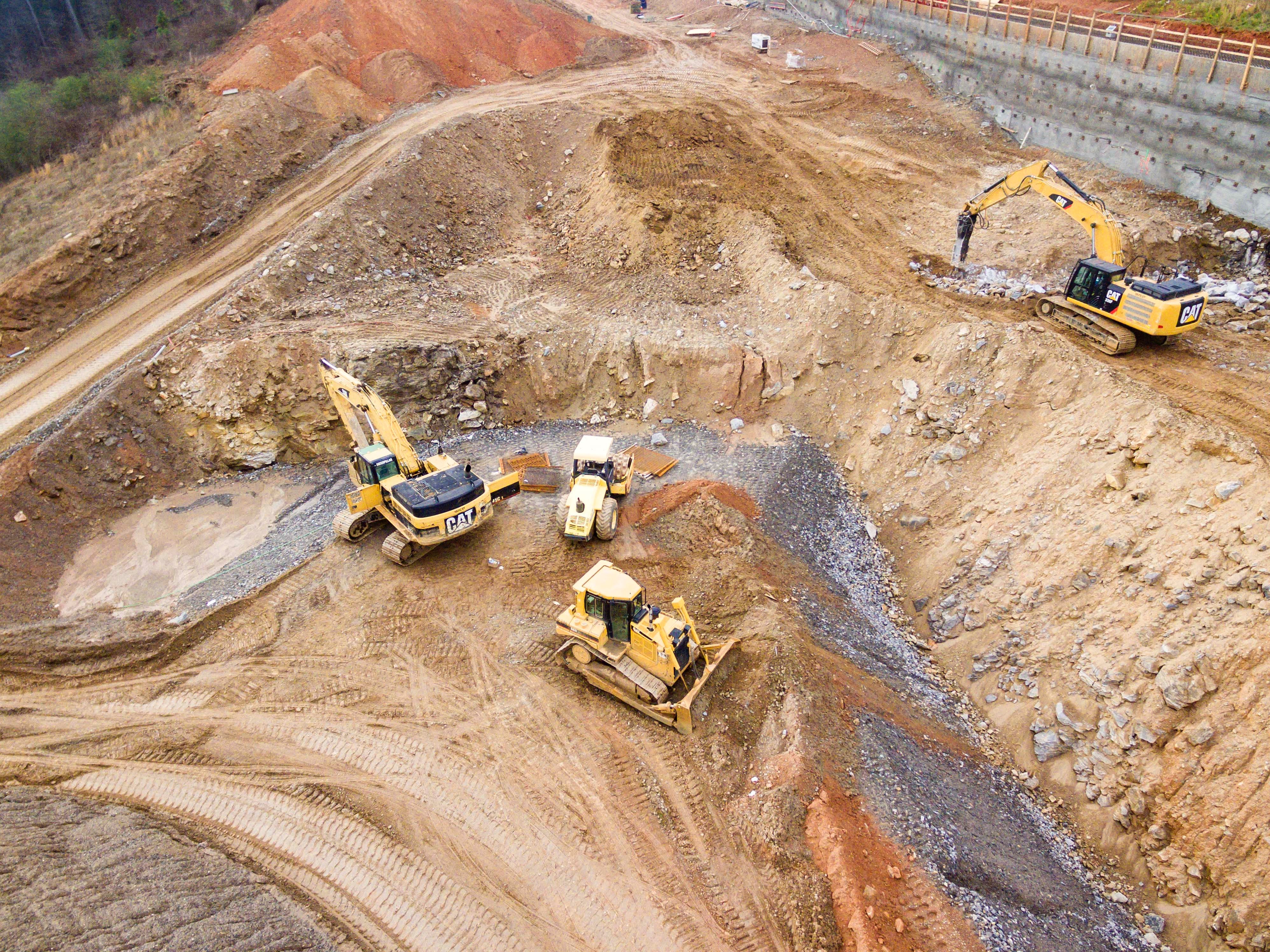
Despite a reputation for being extreme laggards in the adoption of technological solutions, the construction industry has been making big strides in this area over the last few years for a variety of reasons. One is pure necessity, as something had to give with the space’s frequent budget overtures and project delays. The COVID-19 pandemic also sparked increased technology usage across all sectors out of necessity to deal with an unprecedented reality. There’s also something of an expected exponential growth, as companies see competitors and peers benefit and realize they should be doing the same. And on top of all that, there’s the simple reality that the tools are improving. The technology being released today, as compared to even a decade ago or less, is both more powerful and easier to use.
Earlier this month at the Autodesk University conference in New Orleans, 3D measurement, imaging, and realization company FARO announced their latest tool to assist the construction industry, the FARO 4D Construction Progress Management Solution. The solution is expected to be released later this year and will be available on FARO’s Sphere SaaS platform, which, per the company’s release, “provides a central location for users to capture, view, share, and analyze reality capture data allowing construction and operation professionals to benefit from faster site updates, easier virtual collaboration, and more reliable progress insights.”
It is that ease of use around visualization and collaboration for those on and working with a construction site that makes this product so appealing. FARO notes that the central component to the new solution is the Sphere Viewer, which will leverage “a combination of computer vision, photogrammetry, and artificial intelligence (AI) to create a comprehensive virtual jobsite.” On top of that, users of the solution will also get VideoMode, which uses 360-degree videos to enable faster and easier site documentation; ProgressAI, which uses AI to detect and report site progress; and a brand new robotics API, which will allow robotics manufacturers to integrate and directly import reality captured data from robots straight into the virtual jobsite. Spot, from Boston Dynamics, will be the first robot to utilize the robotics API.
This kind of solution will be a major boon for workers on – and crucially, not on – a construction site to get faster and more accurate insights, all within a simple SaaS platform. Users will be able to take all of their reality capture data, including both 360-degree photographs as well as point cloud data – with the AI combing through the data to create a single, all-in-one-place 3D model, allowing for quick and accurate analysis on a project. In addition, the ProgressAI feature will lean on the AI to detect where changes have been made on a project, giving project managers an early alert if something has changed that was not supposed to, or if a given change did not proceed as planned. Without technology, by the time these potential issues were located it was a costly – both in terms of time and money – process to ensure that the project is completed correctly. Being able to detect these kinds of changes as early as possible is among the top priorities for many project managers who are trying to deliver their projects on time and under budget.
On the new tool, President of FARO’s Building Insights team Patrick Bohle said, “The 4D Construction Progress Management Solution will deliver unmatched insights for our customers,” and added, “Our 4D solution brings together 3D models from different capture devices and different accuracy levels to ease navigation, increase user accessibility, and enable unprecedented progress management with the ability to report, verify and compare all angles of a project over time.”
Will Plato, Senior VDC Manager at Hensel Phelps, a leader in general contract and construction work for the planning, building and management of landmark buildings, notes, “For the first time, we can unite speed, accuracy and analytics capabilities of stationary and mobile 3D laser scanning as well as 360° photo and video. Gone are the days of static, standalone point cloud and 360° projects.”


