

DJI Terra was introduced in 2019 as mapping software for DJI drone users. Over time, many new features have been added to the product that now supports drone photogrammetry and lidar processing, 2D mapping, and 3D modeling capabilities. Today, DJI Terra is described as “3D model reconstruction software with photogrammetry as its core technology”, meant for DJI Enterprise drones and payloads. There are multiple license plans available, depending on the different required applications and devices.
A recently published video provides an overview of all the product’s main features and explains how DJI Terra is used along with DJI hardware for data processing and more, along with specific use cases from DJI customers. It contains many 3D visuals which give an impression of some of the different deliverables that can be made with the software based on drone imagery and lidar.
DJI Terra’s photogrammetric engine
To stitch together aerial drone imagery into an output such as orthorectified imagery, DJI Terra uses a photogrammetry engine. Over time, DJI has refined the algorithms of this engine, which led to improvements of the output quality and processing capability. Today, DJI Terra can process 2,000 overlapping photos flown with a DJI Mavic 3 Enterprise at 400 ft at an average rate of one hour. For 3D models, DJI Terra processes an average of 700 DJI Mavic 3 Enterprise per hour.
DJI optimizes DJI drone data by automatically importing lens distortion information from its cameras. To enhance the precision of geolocation data, DJI announced it will release additional post-processed kinematic (PPK) features for photogrammetry soon. This integration reduces the need for manual adjustments and improves the accuracy of the final data model.
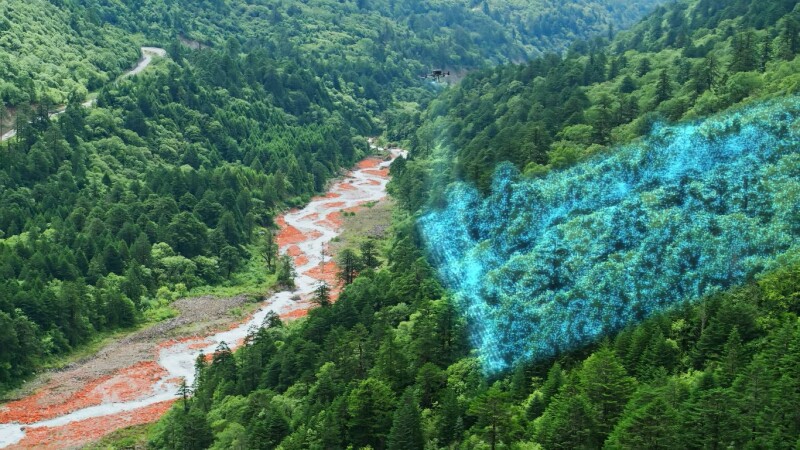
Zenmuse L2 aerial lidar system support
In Q4 of 2023, DJI launched the Zenmuse L2 aerial lidar system. DJI Terra now offers lidar processing and tools for that particular system. Zenmuse L2 integrates frame lidar, which is a self-developed high-accuracy IMU system, and a 4/3 CMOS RGB mapping camera. Combined with DJI Terra, the Zenmuse L2 provides a turnkey system for 3D data collection and high-accuracy post-processing. The system is meant for applications including land surveying, mapping, powerline inspections, forestry, and infrastructure management.
DJI Terra’s lidar processing workflow shares similarities with its photogrammetry processing workflow but offers the additional feature of ground layer classification. It directly generates a digital elevation model and contour lines following the ground layer classification step. This enables the user to examine the elevation profile and take measurements within DJI Terra.
DJI Terra API release
Announced earlier this year at Geo Week, DJI offers streamlining drone data processing at scale through DJI Terra API. This is a new feature that combines a set of API solutions that utilize cloud computing for different data operations. Developers can use DJI Terra API to integrate DJI Terra’s modeling capabilities into their systems. At this moment it does not include all the features of DJI Terra, but new features will added over time. More info on DJI Terra API is available at DJI’s developer website.
DJI Modify integration
After generating a 3D model from drone data using DJI Terra, it can be optimized and polished using another DJI software product, DJI Modify. Paired with a DJI Enterprise drone and DJI Terra, DJI Modify forms a comprehensive solution from aerial surveying, modeling, and model editing to sharing 3D models easily to meet operational needs in surveying and mapping, firefighting, emergency response, and transportation.
DJI Modify is a standalone software product and was released earlier this year, but can be launched within DJI Terra directly. DJI Modify’s capabilities are covered in this article, including generating sharable links to let others view 3D models within a simple web interface.

.jpg.small.400x400.jpg)
.jpg.small.400x400.jpg)