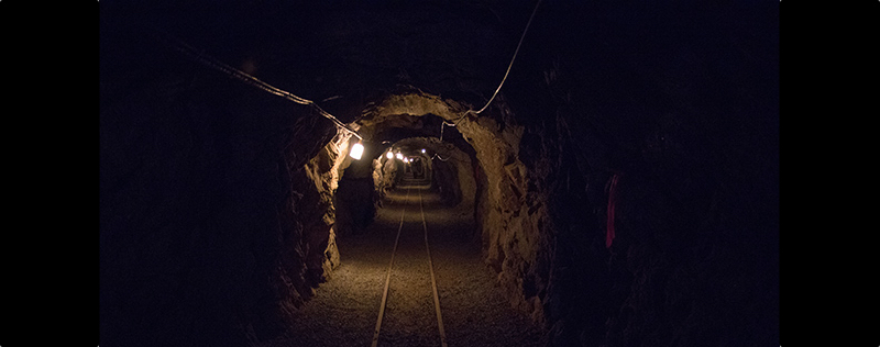
We can thank DARPA, at least in part, for the development of autonomous vehicles and the birth of Velodyne LiDAR. Now, DARPA would like you to return the favor: the US government agency has released a request-for-information (RFI) for “state-of-the-art technologies and methodologies for advanced mapping and surveying” in subterranean environments.
The press release explains that this RFI is intended to find technology that supports the “Subterranean (SubT) Challenge,” a contest that supports and tests solutions for rapidly mapping, navigating, searching, and exploiting complex underground environments without resorting to external infrastructure.
Directly from DARPA’s press release:
“Of interest are available technologies that offer high accuracy and high resolution, with the ability to provide precise and reproducible survey points without reliance on substantial infrastructure (e.g., access to global fixes underground). Additionally, relevant software should also allow for generated data products to be easily manipulated, annotated, and rendered into 3D mesh objects for importing into simulation and game engine environments.
“DARPA may select proposers to demonstrate their technologies or methods to determine feasibility of capabilities for potential use in the SubT Challenge in generating and sharing 3D datasets of underground environments.
“Such accurately georeferenced data may aid in scoring the SubT competitors’ performance in identifying and reporting the location of artifacts placed within the course. In addition, renderings from these data may provide DARPA with additional visualization assets to showcase competition activities in real-time and/or post-production.
For more information, check the Federal Business Opportunities website here. Submissions are due by 1:00 pm EDT on April 15, 2019.


