Every week here at Geo Week News, we have been highlighting some of our favorite stories from around the internet that cover the geospatial, 3D, and AEC industries. Whether it’s a fascinating case study, insights from an industry thought leader, or deep dives into new tools, there is never any shortage of great writing and storytelling in this industry. So, below you can find links to three stories that we loved this week.
How ripples in the high atmosphere warned scientists of tsunami in real time
Chris Baraniuk | BBC
NASA’s new AI-enabled Guardian system detected a 2025 tsunami triggered by an 8.8 magnitude earthquake off Russia’s Kamchatka Peninsula, minutes before the waves reached Hawaii. By monitoring subtle ripples in the atmosphere via GPS satellites, scientists were able to track the tsunami as it moved across the Pacific. The technology could transform early-warning systems for tsunamis and other geophysical hazards, offering a glimpse at how AI and space-based geospatial tools are shaping the future of disaster response.
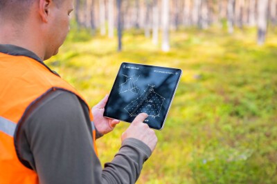
Lidar Roman Camp Discovery Reveals Hidden 2nd Century Site
Adam Clark | Lidar News
A new lidar-based discovery in the Netherlands has revealed a hidden 2nd-century Roman military camp located well beyond the Empire’s previously known northern boundary. Using high-resolution elevation data, archaeologists identified faint ramparts and defensive ditches long concealed beneath forest cover—features that traditional field surveys had missed for centuries. The find not only expands our understanding of Roman reach but also highlights how modern 3D mapping is reshaping archaeological research.
Manchester University NHS Foundation Trust creates smart estate with digital twin
Staff Writer | GEO Informatics
Manchester University NHS Foundation Trust has launched a digital twin spanning six hospitals, marking a major step in its move toward a fully smart estate. Built on Esri’s GIS platform, the 3D model replaces siloed systems with a unified view of spaces, assets, and risk conditions—already transforming how teams manage RAAC, asbestos, and space optimization. As the Trust prepares to expand the twin across its full estate, the project offers a clear look at how indoor mapping, real-time data, and mobile workflows are reshaping healthcare operations and safety.