Every week here at Geo Week News, we have been highlighting some of our favorite stories from around the internet that cover the geospatial, 3D, and AEC industries. Whether it’s a fascinating case study, insights from an industry thought leader, or deep dives into new tools, there is never any shortage of great writing and storytelling in this industry. So, below you can find links to three stories that we loved this week.
Saxons New Associate Degree in Geo Maps Data Responds to Talent Shortage
Staff Writer | GIM
Saxion University of Applied Sciences will launch the Netherlands’ first Associate Degree in Geo Maps & Data in 2026, created with industry partners to address rising demand for geospatial talent. The two-year program blends technical training in GIS and data collection with hands-on projects from real organizations, preparing graduates for entry-level roles or further study.
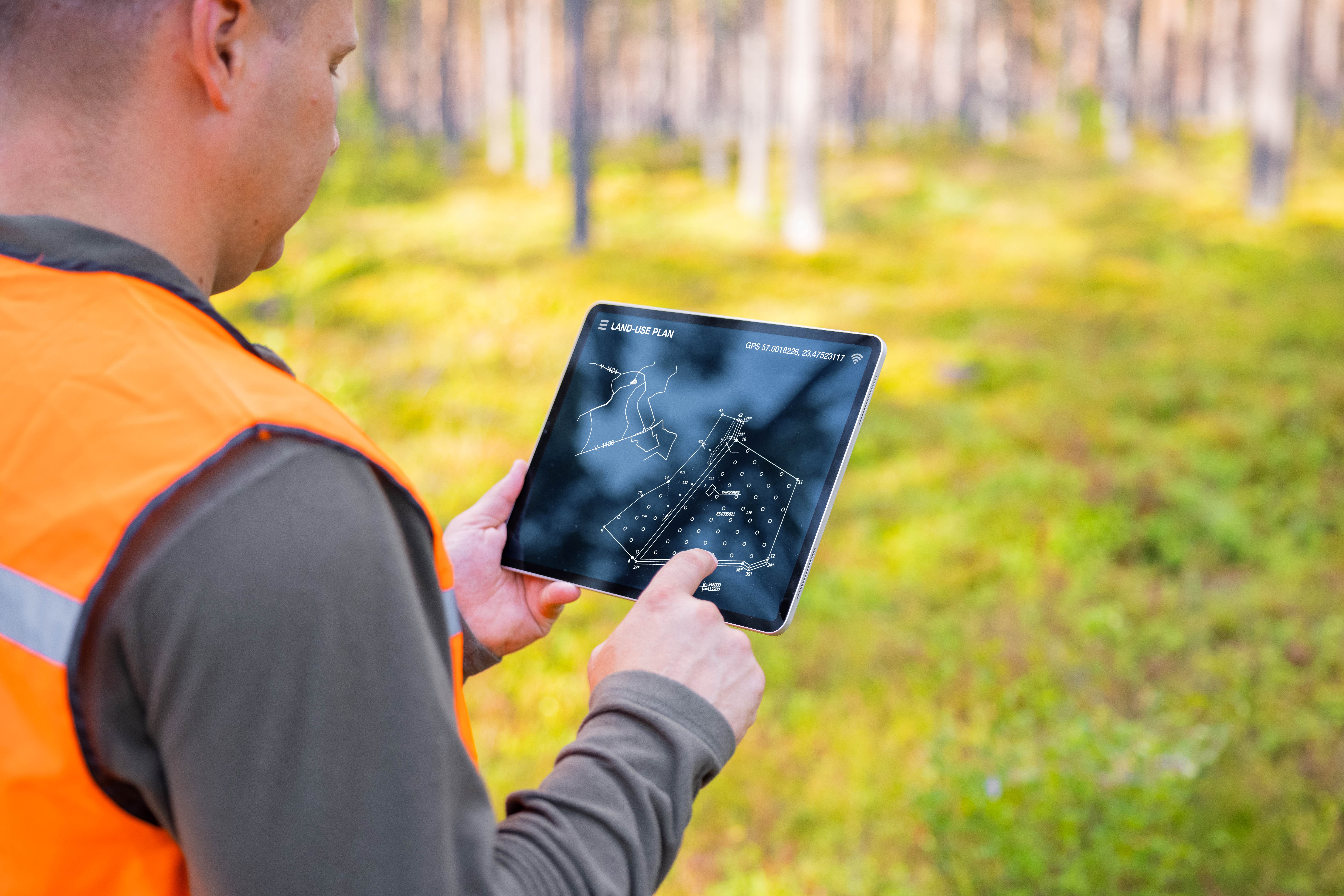
The Courage to Measure: Why Lidar Matters for Forestry
Bogdan Candrea | LiDAR News
This blog explores how advances in lidar are reshaping forest measurement, replacing traditional estimates with highly precise 3D data. Through the story of Virtsilv’s early prototypes and evolving algorithms, the article highlights how lidar-driven analysis is giving forestry professionals a clearer, more objective understanding of tree structure and forest dynamics. It frames this shift as both a technical and cultural change, emphasizing how data-driven methods are redefining accuracy, transparency, and decision-making in modern forest management.
New York launches sensors and AR tools in latest tech pilots
Jonathan Andrews | CitiesToday
New York City has launched two new Smart City Testbed pilots to evaluate pedestrian-counting sensors and an augmented reality tool that visualizes a major upcoming community facility. The initiatives, led by the Office of Technology and Innovation, are part of a broader effort to trial emerging technologies in live environments before wider adoption. Alongside earlier tests involving lidar, computer vision, and robotics, the pilots aim to support safer streets, improve infrastructure planning, and strengthen public engagement. The announcement comes as the city also advances a new AI oversight framework designed to bring greater transparency and accountability to municipal use of automated systems.