Every week here at Geo Week News, we have been highlighting some of our favorite stories from around the internet that cover the geospatial, 3D, and AEC industries. Whether it’s a fascinating case study, insights from an industry thought leader, or deep dives into new tools, there is never any shortage of great writing and storytelling in this industry. So, below you can find links to three stories that we loved this week.
Processing nationwide data for Germany’s digital twin
Blaž Vidmar, Nejc Dougan, Barbara Žabota | GIM International
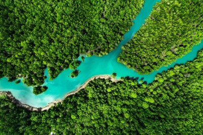
Germany is racing to build a massive 3D digital twin of the entire country, with AI-powered Lidar technology scanning over 356,000 square kilometers at an exceptionally high resolution, and it's on track to wrap up by 2026. The project is using AI-based point cloud classification to automatically detect and categorize everything from wind turbines and power lines to bridges and vegetation, dramatically cutting manual processing time while keeping accuracy high.
Lidar in the Wild: Experts to Everyone
Jordan Regenie | Lidar News
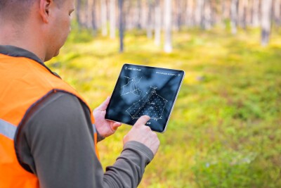
Lidar technology is quietly making its way into everyday life, from hunting apps and hiking platforms to hobby archaeology groups and even handcrafted wooden relief maps, with most people never realizing the powerful geospatial data behind what they're seeing. Geospatial strategist Jordan Regenie argues that lidar's real public breakthrough isn't technical literacy, but the way it sparks better questions and a deeper connection to the landscapes around us.
Tasmania’s LISTmap heads for November update
jnalley | Spatial Source
Tasmania's LISTmap, the state's go-to platform for viewing and creating maps from over 3,200 official spatial datasets, is getting a major upgrade, with a November 2026 launch target now confirmed. The revamped platform will bring new features including mobile support, 3D navigation, and personalized dashboards, with a key internal milestone expected in July before final testing and training rounds out the year.