

Every week here at Geo Week News, we have been highlighting some of our favorite stories from around the internet that cover the geospatial, 3D, and AEC industries. Whether it’s a fascinating case study, insights from an industry thought leader, or deep dives into new tools, there is never any shortage of great writing and storytelling in this industry. So, below you can find links to three stories that we loved this week.
Mapping global geomatics education
Angel Collado | GIM International
The International Federation of Surveyors (FIG) has launched a first-of-its-kind interactive web map cataloguing over 700 geomatics university programs worldwide, giving the profession a long-overdue global academic snapshot. The tool reveals a telling trend: four-year degree programs are far more likely to produce fully-rounded geospatial engineers, while regions relying on three-year programs show notable gaps in key technical areas.
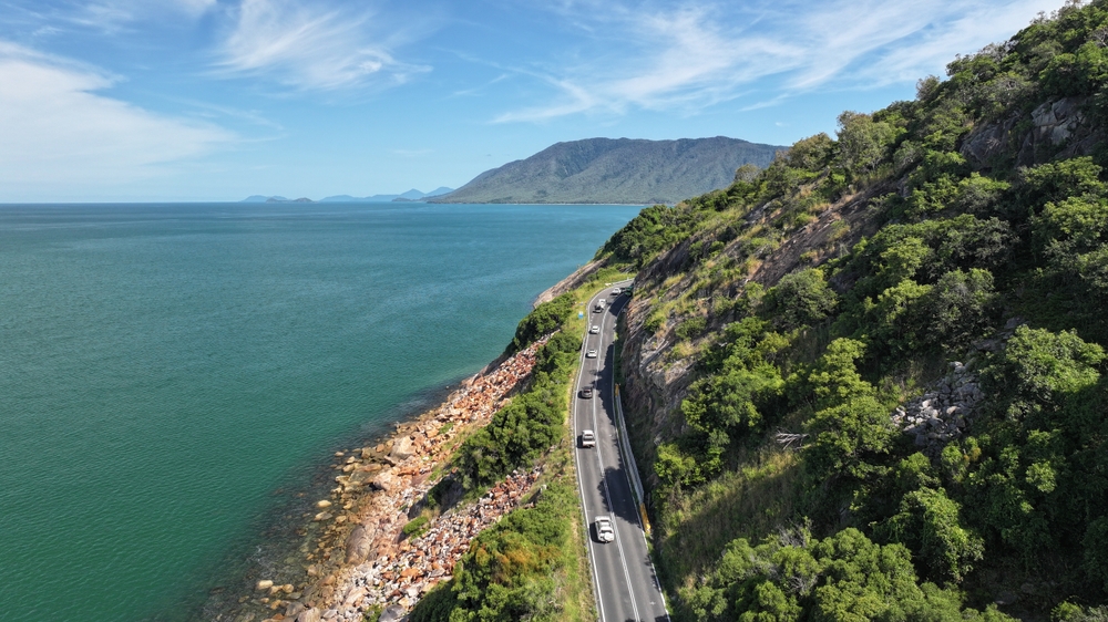
Why Australia needed a national road crash map
jnalley | Spatial Source
Frustrated by Australia's patchwork of incompatible state-by-state road crash datasets, developer Anthony Eisenberg built CrashDash, a unified national map that lets councils and transport professionals query crash data in minutes instead of days. A free-to-explore Pro tier launching in July 2026 will add powerful spatial tools like proximity, zone, and corridor analysis, giving road safety teams a single, auditable national picture for the first time.
Maps, AI, and Trees Fight Urban Heat in Chattanooga
Sunny Fleming | Lidar Magazine
Chattanooga is using AI-powered aerial imagery and lidar to map all 5.3 million of its trees at 97% accuracy, revealing a sobering 48% loss in forest cover since 1984 and a staggering 22-degree temperature gap between tree-lined and barren neighborhoods. Armed with a $6 million USDA grant and a heat-risk index layering surface temperatures with demographic vulnerability data, the city is strategically planting 5,000 trees where they'll cool the people who need it most.


