
The drive from Las Vegas to Kanab, Utah is the kind of road that recalibrates you before you even arrive somewhere. Exposed rock faces in shades of rust and ochre, long stretches of open desert, and the feeling that you are genuinely far from anything, all of it builds as you head north. By the time I arrived to attend the annual Utah Geographic Information Council (UGIC) conference last week, I was already thinking differently about scale, remoteness, and what it means to work in a place like this.
UGIC’s annual conference is the gathering place for Utah's geospatial community, bringing together GIS professionals, data managers, surveyors, planners, and public agency staff from across the state. Attendees come from city and county governments, state agencies, universities, and the private sector, though the public sector presence is strong. I attended this year to do something pretty straightforward get a sense of the people and organizations doing geospatial work in Utah. As someone who covers the geospatial industry from a national perspective, I wanted to understand the local texture of the work, the priorities, and the practitioners who make it happen, especially as we move to Salt Lake City for next year’s Geo Week Conference.
Takeaway 1: Utah's geospatial challenges are genuinely hard
Utah presents a specific and demanding set of problems for geospatial data management. Some of it comes from the patchwork nature of governance, with small towns and rural counties working with limited capacity and aging data. Some of it comes from the land itself: a significant portion of Utah is privately held, which creates gaps, access constraints, and complications for anyone trying to build a coherent statewide picture.
What struck me was that the community isn't just living with these challenges; they're actively building toward solutions. Several sessions touched on how technology is being applied to data quality, coverage, and access problems that are specific to this landscape. For example, UGRC (Utah Geospatial Resource Center) is the state's map technology coordination office, responsible for aggregating statewide datasets, advising on GIS implementations and best practices, and building tools and applications for all levels of government.
Presentations ranged from sharing success stories, including digitizing and re-aligning parcels of fabric from text-based descriptions, pioneering workflows to track invasive species, and using GIS to evaluate the effectiveness of wildlife protection areas as they intersect with the growing needs of the booming recreational tourism.
Takeaway 2: Conservation brings people together
One thread I didn't expect to find as clearly as I did was a genuine collaborative spirit around conservation. Departments and organizations that might otherwise operate in separate lanes were talking to each other, sharing data, and working on problems that cross jurisdictional lines. In a state with as much public and contested land as Utah, the stakes around conservation data feel high, and the community seems to respond to that.
One example of that collaborative spirit in action is the Greater Salt Lake Municipal Services District (MSD), which serves the unincorporated communities and newer cities ringing Salt Lake County that fall outside SLC proper. Providing planning, engineering, and public works services to tens of thousands of residents across places like Kearns, Magna, and Emigration Canyon, MSD has built out an active GIS and drone program to manage infrastructure and spatial data for communities that don't always have the resources of a larger city. It's exactly the kind of organization that depends on a connected, collaborative geospatial ecosystem to do its work well.
Takeaway 3: Career pathways were front and center
If you spend more than an hour at UGIC, you'll notice that everyone knows everyone. I kept hearing fragments of professional biography woven into casual conversation: "She used to work for so-and-so," and "I hired his intern a few years back, and now she's running the whole department." This is a community that has been building itself over time, and that history is worn openly.
A handful of sessions stood out for focusing on professional development and career pathways rather than just technical content, including one that gave direct advice to interns to set them up for success, to a presentation focusing on how to find and hire early career professionals, and another panel of GIS managers talking about how to support and develop talent.
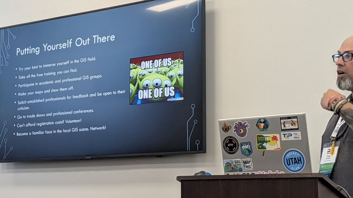
This felt meaningful at a regional conference, where many attendees are the only GIS person at their organization, or are just figuring out what a career in geospatial even looks like. The fact that the program made room for that conversation said something about what this community values. Shawn Beecher, a member of the UGIC Board, will also be a speaker for a Geo Week Webinar on building the future geospatial pipeline next week.
Final thoughts from the road
Regional conferences like UGIC don't always get the attention they deserve. But what I saw in Utah was a community that has figured out something a lot of larger professional gatherings are still working on: how to make people feel like they belong to something. The technical sessions were strong, the challenges were real, and the collaborative instincts were genuine. If you work in geospatial and haven't found your regional community yet, UGIC is a pretty compelling argument for why you should.
We're looking forward to bringing Geo Week to Salt Lake City next year, and if the energy at UGIC is any indication, Utah's geospatial community will have plenty to contribute to that conversation.