Every week here at Geo Week News, we have been highlighting some of our favorite stories from around the internet that cover the geospatial, 3D, and AEC industries. Whether it’s a fascinating case study, insights from an industry thought leader, or deep dives into new tools, there is never any shortage of great writing and storytelling in this industry. So, below you can find links to three stories that we loved this week.
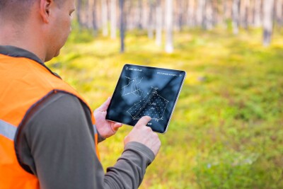
Building the Next Generation of Geomatics Professionals
Staff Writer | xyht
Fresno State recently hosted its 65th Annual Geomatics Engineering Conference, where educators and industry leaders from Trimble and CSDS discussed closing the workforce gap in the surveying profession. The partnership aims to modernize geomatics education by providing students with hands-on experience using current technology, addressing the critical shortage of skilled professionals who can work with modern surveying equipment and digital workflows. This collaboration between academia and industry is designed to produce graduates who are not only proficient in fundamental surveying principles but also confident using contemporary tools, helping them contribute to their employers more quickly after graduation
Europe’s First Meteorological Infrared Sound Reveals the Atmosphere in 3D
Eric Van Rees | Geo:
Europe's first meteorological infrared sounder has unveiled its initial images at the EU Space Conference in Brussels, representing a significant advancement in atmospheric monitoring. The Infrared Sounder aboard the Meteosat Third Generation Sounder-1 satellite scans Europe every 30 minutes across nearly 2,000 infrared wavelengths, delivering three-dimensional data on temperature, humidity, and atmospheric composition at various altitudes. This groundbreaking technology can detect atmospheric instability and moisture changes before clouds form, greatly improving severe weather forecasting, nowcasting, and air quality monitoring with approximately 7-kilometer resolution over Europe.
Global Forest Maps Could be Out by a Factor 10
jnally | Spatial Source
A recent study has revealed significant inconsistencies in widely used global satellite forest maps, with researchers finding that different datasets show only 26% agreement on forest locations. The discrepancies among datasets create major uncertainty, sometimes by a factor of 10, driven by varying forest definitions and technologies. For instance, some maps classify savannas with scattered trees as forest using a 10 percent canopy cover threshold, while others require 50 percent coverage. These definitional differences can instantly flip millions of hectares between "forest" and "non-forest" classifications, with real-world consequences such as estimates of people living in poverty near forests in India varying from 23 million to 252 million depending solely on which map is used.