Every week here at Geo Week News, we have been highlighting some of our favorite stories from around the internet that cover the geospatial, 3D, and AEC industries. Whether it’s a fascinating case study, insights from an industry thought leader, or deep dives into new tools, there is never any shortage of great writing and storytelling in this industry. So, below you can find links to three stories that we loved this week.
Models of all the world’s buildings now available in an interactive 3D map
Staff Writer | GIM
Researchers at the Technical University of Munich have released the GlobalBuildingAtlas, an open-data, high-resolution 3D map covering 2.75 billion buildings worldwide, derived from satellite imagery and available through an interactive platform. The dataset’s 3 × 3 m models support more precise urban analysis, infrastructure planning, climate adaptation, and SDG monitoring, and include regions previously underrepresented in global datasets. By visualizing building footprints and volumes at scale, this resource enhances resilience planning, disaster assessment, and socioeconomic insights for cities and researchers.
NASA Tests Drones in Death Valley to Prepare for Future Mars Rotorcraft
Miriam McNabb | Drone Life
NASA’s Jet Propulsion Laboratory conducted drone flight tests in Death Valley and the Mojave Desert to refine autonomous navigation software for future Mars rotorcraft, targeting the featureless terrain that challenged the Ingenuity helicopter’s later missions. The campaign’s data on real-world performance of navigation algorithms and sensor configurations is informing next-generation aerial autonomy systems that could expand exploration to more complex Martian landscapes. These Earth-analog trials continue a long history of using desert environments to de-risk technologies for planetary missions.
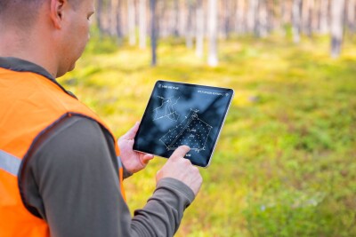
Open Maps For Europe 2 (OME2) adds five new countries and hydrography theme to final release of high-value data prototype
Eric Van Rees | Geo:
The final prototype of Open Maps for Europe 2 (OME2) now delivers harmonised, high-value pan-European geospatial data, including administrative boundaries, transport, and a newly added hydrography theme, at 1:10 000 scale for ten countries via a single edge-matched dataset. This milestone expands the project’s coverage and supports streamlined cross-border access to authoritative mapping data aligned with EU policy and UN core geospatial data recommendations. The release advances efforts to build a consistent, open foundation for Europe-wide spatial data infrastructures.